79 Cummings Cove Rd Meredith, NH 03253
Estimated Value: $2,387,865 - $3,950,000
3
Beds
4
Baths
3,179
Sq Ft
$919/Sq Ft
Est. Value
About This Home
This home is located at 79 Cummings Cove Rd, Meredith, NH 03253 and is currently estimated at $2,921,466, approximately $918 per square foot. 79 Cummings Cove Rd is a home located in Belknap County with nearby schools including Inter-Lakes Elementary School.
Ownership History
Date
Name
Owned For
Owner Type
Purchase Details
Closed on
Jul 7, 2004
Sold by
Kronfeld Jerome and Kronfeld June
Bought by
Eaton David B and Eaton Sharon N
Current Estimated Value
Home Financials for this Owner
Home Financials are based on the most recent Mortgage that was taken out on this home.
Original Mortgage
$400,000
Outstanding Balance
$201,140
Interest Rate
6.32%
Mortgage Type
Purchase Money Mortgage
Estimated Equity
$2,720,326
Create a Home Valuation Report for This Property
The Home Valuation Report is an in-depth analysis detailing your home's value as well as a comparison with similar homes in the area
Home Values in the Area
Average Home Value in this Area
Purchase History
| Date | Buyer | Sale Price | Title Company |
|---|---|---|---|
| Eaton David B | $620,000 | -- |
Source: Public Records
Mortgage History
| Date | Status | Borrower | Loan Amount |
|---|---|---|---|
| Open | Eaton David B | $400,000 |
Source: Public Records
Tax History Compared to Growth
Tax History
| Year | Tax Paid | Tax Assessment Tax Assessment Total Assessment is a certain percentage of the fair market value that is determined by local assessors to be the total taxable value of land and additions on the property. | Land | Improvement |
|---|---|---|---|---|
| 2024 | $19,257 | $1,876,900 | $1,248,800 | $628,100 |
| 2023 | $18,563 | $1,876,900 | $1,248,800 | $628,100 |
| 2022 | $16,001 | $1,145,400 | $664,600 | $480,800 |
| 2021 | $15,383 | $1,145,400 | $664,600 | $480,800 |
| 2020 | $15,707 | $1,120,300 | $664,600 | $455,700 |
| 2019 | $14,975 | $942,400 | $536,600 | $405,800 |
| 2018 | $14,720 | $942,400 | $536,600 | $405,800 |
| 2016 | $13,283 | $852,000 | $481,600 | $370,400 |
| 2015 | $12,570 | $827,000 | $481,600 | $345,400 |
| 2014 | $12,264 | $827,000 | $481,600 | $345,400 |
| 2013 | $8,571 | $594,800 | $481,600 | $113,200 |
Source: Public Records
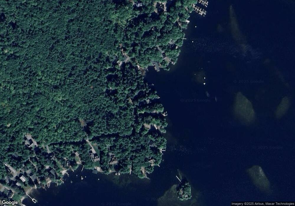
Map
Nearby Homes
- Lot 21 Cummings Cove Rd
- Lot 22 Cummings Cove Rd
- 11 Quimby Rd
- 39 Lake Country Rd
- 765 Scenic Rd
- 75 Neal Shore Rd
- 37
- 45 Stern Castle Place Unit 32
- 106 Needle Eye Rd
- 38 Stern Castle Place Unit 30
- 00 Nh Rte 132 Route
- 598 Scenic Rd Unit 2
- 598 Scenic Rd Unit 1
- Lot 12-3 Needle Eye Rd
- Lot 12-5 Needle Eye Rd
- 97 Soleil Mountain Unit 82
- 94 Soleil Mountain Unit 8
- 6 Windjammer's Ridge
- 23 Deadreckoning Point
- 126 Soleil Mountain
- 81 Cummings Cove Rd
- 77 Cummings Cove Rd
- 85 Cummings Cove Rd
- 73 Cummings Cove Rd
- 107 Cummings Cove Rd
- 90 Cummings Cove Rd
- Lot 31 Cummings Cove Rd
- 69 Cummings Cove Rd
- 111 Cummings Cove Rd
- 94 Cummings Cove Rd
- 67 Cummings Cove Rd
- 96 Cummings Cove Rd
- 65 Cummings Cove Rd
- 100 Cummings Cove Rd
- 63 Cummings Cove Rd
- 98 Cummings Cove Rd
- 104 Cummings Cove Rd
- 117 Cummings Cove Rd
- 59 Cummings Cove Rd
- 1 Gypsy Island