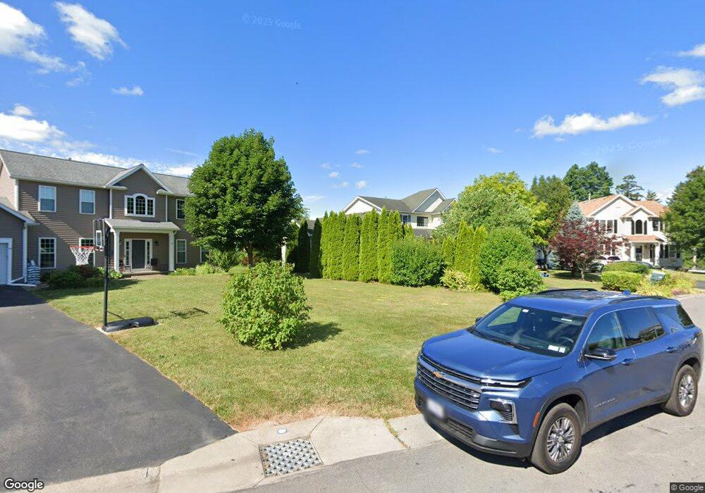
79 Derrick Dr West Henrietta, NY 14586
Estimated Value: $382,000 - $523,011
4
Beds
3
Baths
2,317
Sq Ft
$203/Sq Ft
Est. Value
About This Home
This home is located at 79 Derrick Dr, West Henrietta, NY 14586 and is currently estimated at $471,503, approximately $203 per square foot. 79 Derrick Dr is a home located in Monroe County with nearby schools including Mary K. Vollmer Elementary School, Monica B. Leary Elementary School, and Charles H. Roth Junior High School.
Ownership History
Date
Name
Owned For
Owner Type
Purchase Details
Closed on
Oct 24, 2011
Sold by
Liu Paoling and Ho Hsinchiu
Bought by
Myles Richard D and Myles Jennifer C
Current Estimated Value
Home Financials for this Owner
Home Financials are based on the most recent Mortgage that was taken out on this home.
Original Mortgage
$165,000
Outstanding Balance
$64,991
Interest Rate
4.08%
Mortgage Type
New Conventional
Estimated Equity
$406,512
Purchase Details
Closed on
Jul 7, 2005
Sold by
Faber Construction Co Inc
Bought by
Liu Paoling
Home Financials for this Owner
Home Financials are based on the most recent Mortgage that was taken out on this home.
Original Mortgage
$170,200
Interest Rate
5.67%
Mortgage Type
New Conventional
Purchase Details
Closed on
Feb 2, 2005
Sold by
Forest Creek Equity Corp
Bought by
Faber Construction Co Inc
Create a Home Valuation Report for This Property
The Home Valuation Report is an in-depth analysis detailing your home's value as well as a comparison with similar homes in the area
Home Values in the Area
Average Home Value in this Area
Purchase History
| Date | Buyer | Sale Price | Title Company |
|---|---|---|---|
| Myles Richard D | $220,000 | None Available | |
| Liu Paoling | $226,974 | Philippone | |
| Faber Construction Co Inc | $500,000 | None Available |
Source: Public Records
Mortgage History
| Date | Status | Borrower | Loan Amount |
|---|---|---|---|
| Open | Myles Richard D | $165,000 | |
| Previous Owner | Liu Paoling | $170,200 |
Source: Public Records
Tax History Compared to Growth
Tax History
| Year | Tax Paid | Tax Assessment Tax Assessment Total Assessment is a certain percentage of the fair market value that is determined by local assessors to be the total taxable value of land and additions on the property. | Land | Improvement |
|---|---|---|---|---|
| 2024 | $12,017 | $457,000 | $48,000 | $409,000 |
| 2023 | $11,534 | $457,000 | $48,000 | $409,000 |
| 2022 | $10,105 | $310,700 | $39,600 | $271,100 |
| 2021 | $9,551 | $310,700 | $39,600 | $271,100 |
| 2020 | $8,113 | $269,000 | $39,600 | $229,400 |
| 2019 | $7,173 | $256,200 | $39,600 | $216,600 |
| 2018 | $7,370 | $232,900 | $39,600 | $193,300 |
| 2017 | $4,066 | $232,900 | $39,600 | $193,300 |
| 2016 | $7,173 | $232,900 | $39,600 | $193,300 |
| 2015 | -- | $232,900 | $39,600 | $193,300 |
| 2014 | -- | $232,900 | $39,600 | $193,300 |
Source: Public Records
Map
Nearby Homes
- 52 Morin Cir
- 0 W Henrietta Rd Unit R1617620
- 34 Prairie Trail
- 3 Cascade Rd
- 46 Cascade Rd
- 36 Marissa Beth Way
- 84 Telephone Rd
- 57 Yellowstone Dr
- 5758 W Henrietta Rd
- 1255 Middle Rd
- 1247 Middle Rd
- 240 Alverstone Way
- 1829 Middle Rd
- 1022 Middle Rd
- 0 Rush Scottsville Rd
- 1215 Rush Scottsville Rd
- 64 Planters Row
- 44 Planters Row
- 1672 Rush Scottsville Rd
- 31 Planters Row