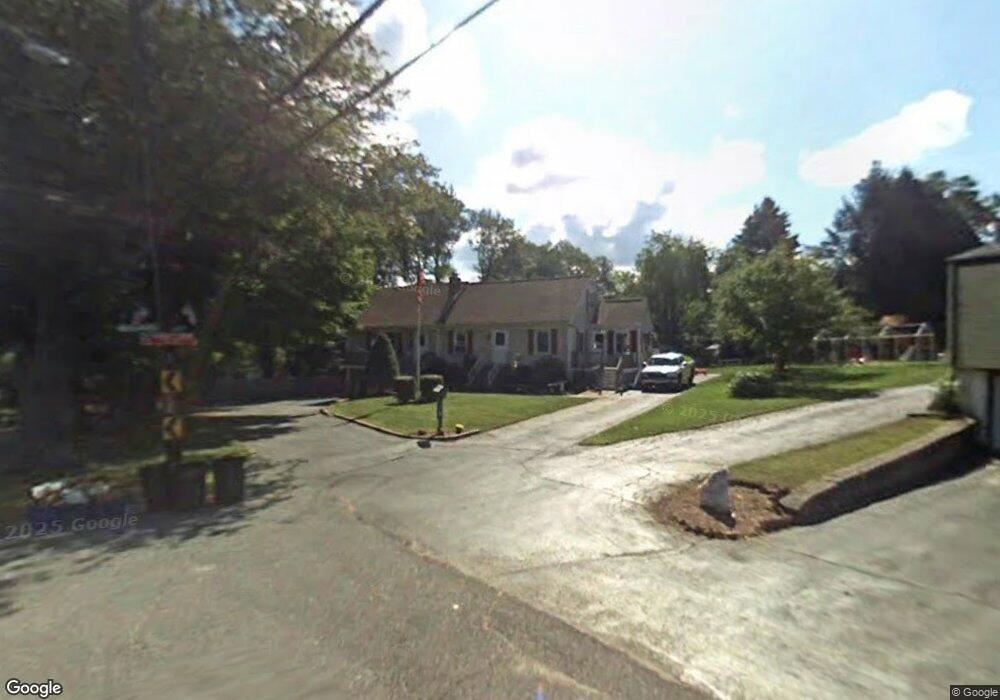
79 Dunbar St Canton, MA 02021
Estimated Value: $1,105,000 - $1,363,000
5
Beds
3
Baths
3,632
Sq Ft
$336/Sq Ft
Est. Value
About This Home
This home is located at 79 Dunbar St, Canton, MA 02021 and is currently estimated at $1,219,228, approximately $335 per square foot. 79 Dunbar St is a home located in Norfolk County with nearby schools including Canton High School, St. John the Evangelist School, and Chabad Day School of School.
Ownership History
Date
Name
Owned For
Owner Type
Purchase Details
Closed on
Sep 21, 2020
Sold by
Widberg Allen R and Widberg Linda C
Bought by
Canavan Kristi
Current Estimated Value
Home Financials for this Owner
Home Financials are based on the most recent Mortgage that was taken out on this home.
Original Mortgage
$255,000
Outstanding Balance
$181,972
Interest Rate
2.9%
Mortgage Type
New Conventional
Estimated Equity
$1,037,256
Purchase Details
Closed on
Aug 7, 2020
Sold by
Widberg Alan R and Widberg Linda C
Bought by
Canavan Kristi L
Home Financials for this Owner
Home Financials are based on the most recent Mortgage that was taken out on this home.
Original Mortgage
$255,000
Outstanding Balance
$181,972
Interest Rate
2.9%
Mortgage Type
New Conventional
Estimated Equity
$1,037,256
Purchase Details
Closed on
Feb 28, 2013
Sold by
Canavan Clifford E and Canavan Kristi L
Bought by
Widberg Allen R and Widberg Linda C
Home Financials for this Owner
Home Financials are based on the most recent Mortgage that was taken out on this home.
Original Mortgage
$260,000
Interest Rate
3.41%
Mortgage Type
New Conventional
Purchase Details
Closed on
Feb 5, 2013
Sold by
Widberg Allen R and Widberg Linda C
Bought by
Canavan Clifford E and Canavan Kristi L
Home Financials for this Owner
Home Financials are based on the most recent Mortgage that was taken out on this home.
Original Mortgage
$260,000
Interest Rate
3.41%
Mortgage Type
New Conventional
Purchase Details
Closed on
Dec 15, 2010
Sold by
Canavan Clifford E and Canavan Kristi L
Bought by
Widberg Allen R and Widberg Linda C
Purchase Details
Closed on
Nov 30, 2010
Sold by
Widberg Allen R and Widberg Linda C
Bought by
Canavan Clifford E and Canavan Kristi L
Purchase Details
Closed on
Aug 23, 2010
Sold by
Canavan Clifford E and Canavan Kristi L
Bought by
Widberg Allen R and Widberg Linda C
Home Financials for this Owner
Home Financials are based on the most recent Mortgage that was taken out on this home.
Original Mortgage
$275,000
Interest Rate
4.63%
Mortgage Type
Purchase Money Mortgage
Create a Home Valuation Report for This Property
The Home Valuation Report is an in-depth analysis detailing your home's value as well as a comparison with similar homes in the area
Home Values in the Area
Average Home Value in this Area
Purchase History
| Date | Buyer | Sale Price | Title Company |
|---|---|---|---|
| Canavan Kristi | -- | None Available | |
| Canavan Kristi L | -- | None Available | |
| Widberg Allen R | -- | -- | |
| Canavan Clifford E | -- | -- | |
| Widberg Allen R | -- | -- | |
| Canavan Clifford E | -- | -- | |
| Widberg Allen R | -- | -- | |
| Canavan Clifford E | -- | -- |
Source: Public Records
Mortgage History
| Date | Status | Borrower | Loan Amount |
|---|---|---|---|
| Open | Canavan Kristi | $255,000 | |
| Previous Owner | Canavan Clifford E | $260,000 | |
| Previous Owner | Canavan Clifford E | $275,000 |
Source: Public Records
Tax History Compared to Growth
Tax History
| Year | Tax Paid | Tax Assessment Tax Assessment Total Assessment is a certain percentage of the fair market value that is determined by local assessors to be the total taxable value of land and additions on the property. | Land | Improvement |
|---|---|---|---|---|
| 2025 | $10,083 | $1,019,500 | $306,500 | $713,000 |
| 2024 | $9,428 | $945,600 | $294,700 | $650,900 |
| 2023 | $8,960 | $847,700 | $294,700 | $553,000 |
| 2022 | $8,896 | $783,800 | $280,700 | $503,100 |
| 2021 | $8,653 | $709,300 | $255,200 | $454,100 |
| 2020 | $8,265 | $675,800 | $243,000 | $432,800 |
| 2019 | $8,279 | $667,700 | $220,900 | $446,800 |
| 2018 | $7,979 | $642,400 | $212,400 | $430,000 |
| 2017 | $8,143 | $636,700 | $208,200 | $428,500 |
| 2016 | $7,948 | $621,400 | $203,100 | $418,300 |
| 2015 | $7,847 | $612,100 | $197,300 | $414,800 |
Source: Public Records
Map
Nearby Homes
- 212 Washington St
- 194 Washington St Unit J
- 29-31 Pond St
- 185 Bailey St
- 19 Walnut Knolls
- 189 Bailey St
- 111 Ethyl Way Unit E
- 8 Patricia Dr
- 398 Erin Rd Unit 398
- 16 Jessica Dr Unit E
- 17 Patricia Dr
- 74 Ethyl Way
- 80 Walnut St Unit 405
- 71 High St
- 3 Donald Rd
- 41 Bayberry Dr Unit 4
- 56 Laurelwood Dr
- 230 Greenbrook Dr
- 54 Laurelwood Dr
- 380 N Main St
- 77 Dunbar St
- 2 Widberg Ln
- 240 Messinger St
- 240 Messinger St Unit 1
- 240 Messinger St Unit 2
- 4 Widberg Ln
- 14 Greenwood Rd
- 16 Greenwood Rd
- 12 Greenwood Rd
- 75 Dunbar St
- 18 Greenwood Rd
- 10 Greenwood Rd
- 232 Messinger St
- 68 Dunbar St
- 65 Dunbar St
- 20 Greenwood Rd
- 244 Messinger St
- 8 Greenwood Rd
- 219 Messinger St
- 6 Greenwood Rd