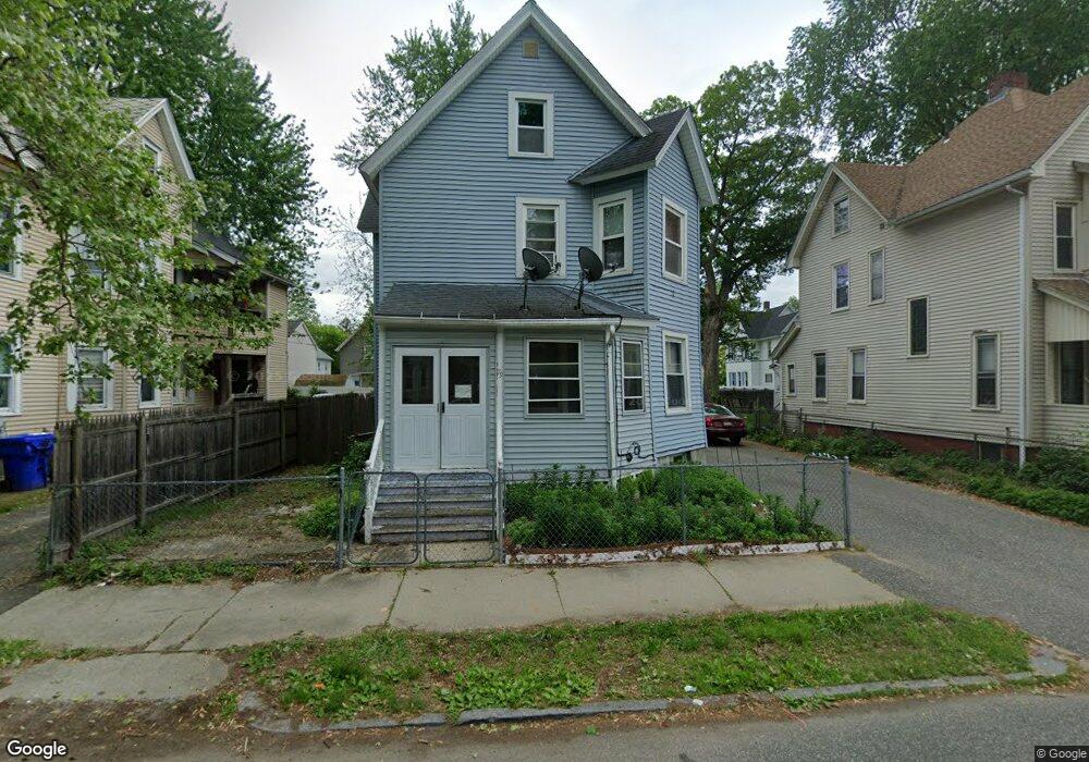
79 Euclid Ave Springfield, MA 01108
Forest Park NeighborhoodEstimated Value: $269,000 - $348,000
4
Beds
2
Baths
2,346
Sq Ft
$124/Sq Ft
Est. Value
About This Home
This home is located at 79 Euclid Ave, Springfield, MA 01108 and is currently estimated at $291,754, approximately $124 per square foot. 79 Euclid Ave is a home located in Hampden County with nearby schools including Sumner Avenue Elementary School, Forest Park Middle School, and High School Of Commerce.
Ownership History
Date
Name
Owned For
Owner Type
Purchase Details
Closed on
Jun 21, 2018
Sold by
Nhat-Do Jason
Bought by
Nhat-Do Jason and Nguyen Rosalie
Current Estimated Value
Purchase Details
Closed on
Oct 11, 2016
Sold by
Do Hiept and Nguyen Rosalie
Bought by
Do Jason N
Purchase Details
Closed on
Aug 27, 2010
Sold by
Do Hiep T
Bought by
Nguyen Hong T and Do Hiep T
Home Financials for this Owner
Home Financials are based on the most recent Mortgage that was taken out on this home.
Original Mortgage
$54,080
Interest Rate
4.78%
Mortgage Type
Purchase Money Mortgage
Purchase Details
Closed on
Jul 28, 2010
Sold by
Ruel Roland E and Ruel Bella T
Bought by
Do Hiep T
Home Financials for this Owner
Home Financials are based on the most recent Mortgage that was taken out on this home.
Original Mortgage
$54,080
Interest Rate
4.78%
Mortgage Type
Purchase Money Mortgage
Create a Home Valuation Report for This Property
The Home Valuation Report is an in-depth analysis detailing your home's value as well as a comparison with similar homes in the area
Home Values in the Area
Average Home Value in this Area
Purchase History
| Date | Buyer | Sale Price | Title Company |
|---|---|---|---|
| Nhat-Do Jason | -- | -- | |
| Do Jason N | -- | -- | |
| Nguyen Hong T | -- | -- | |
| Do Hiep T | $67,600 | -- |
Source: Public Records
Mortgage History
| Date | Status | Borrower | Loan Amount |
|---|---|---|---|
| Previous Owner | Do Hiep T | $54,080 |
Source: Public Records
Tax History
| Year | Tax Paid | Tax Assessment Tax Assessment Total Assessment is a certain percentage of the fair market value that is determined by local assessors to be the total taxable value of land and additions on the property. | Land | Improvement |
|---|---|---|---|---|
| 2025 | $3,025 | $192,900 | $24,700 | $168,200 |
| 2024 | $2,847 | $177,300 | $23,100 | $154,200 |
| 2023 | $3,025 | $177,400 | $22,000 | $155,400 |
| 2022 | $2,842 | $151,000 | $20,000 | $131,000 |
| 2021 | $2,466 | $130,500 | $18,200 | $112,300 |
| 2020 | $2,578 | $132,000 | $18,200 | $113,800 |
| 2019 | $2,210 | $112,300 | $18,200 | $94,100 |
| 2018 | $2,249 | $114,300 | $18,200 | $96,100 |
| 2017 | $2,208 | $112,300 | $14,600 | $97,700 |
| 2016 | $2,135 | $108,600 | $14,600 | $94,000 |
| 2015 | $2,156 | $109,600 | $14,600 | $95,000 |
Source: Public Records
Map
Nearby Homes
- 49 Euclid Ave
- 122 Bellevue Ave
- 7-9 Glendell Terrace
- 228 Belmont Ave
- 11-15 Belmont Place
- 202 Oakland St
- 172 Belmont Ave
- 15-19 Litchfield St
- 21 Mountainview St
- 21 Bloomfield St
- 33 Lansing Place
- 43-45 Leyfred Terrace
- 8 Wilmont St
- 88-90 Beaumont St
- 264 Sumner Ave
- 302 -306 Sumner Ave
- 243 Orange St
- 41 Belmont Ave
- 77 Fort Pleasant Ave
- 67 Fort Pleasant Ave
Your Personal Tour Guide
Ask me questions while you tour the home.