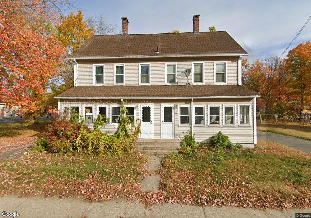
79 Ferry St Unit 81 Easthampton, MA 01027
Estimated Value: $392,336 - $452,000
6
Beds
4
Baths
2,286
Sq Ft
$187/Sq Ft
Est. Value
About This Home
This home is located at 79 Ferry St Unit 81, Easthampton, MA 01027 and is currently estimated at $426,834, approximately $186 per square foot. 79 Ferry St Unit 81 is a home located in Hampshire County with nearby schools including Easthampton High School, Hilltown Cooperative Charter Public School, and Tri-County Schools.
Ownership History
Date
Name
Owned For
Owner Type
Purchase Details
Closed on
Dec 11, 2008
Sold by
Laprade Michael L
Bought by
Laprade Gary A and Laprade Scott A
Current Estimated Value
Purchase Details
Closed on
Jan 18, 2005
Sold by
Laprade Lucien F
Bought by
Laprade Michael L
Create a Home Valuation Report for This Property
The Home Valuation Report is an in-depth analysis detailing your home's value as well as a comparison with similar homes in the area
Home Values in the Area
Average Home Value in this Area
Purchase History
| Date | Buyer | Sale Price | Title Company |
|---|---|---|---|
| Laprade Gary A | -- | -- | |
| Laprade Michael L | -- | -- |
Source: Public Records
Mortgage History
| Date | Status | Borrower | Loan Amount |
|---|---|---|---|
| Open | Laprade Michael L | $131,000 |
Source: Public Records
Tax History
| Year | Tax Paid | Tax Assessment Tax Assessment Total Assessment is a certain percentage of the fair market value that is determined by local assessors to be the total taxable value of land and additions on the property. | Land | Improvement |
|---|---|---|---|---|
| 2025 | $5,055 | $369,800 | $90,100 | $279,700 |
| 2024 | $4,868 | $359,000 | $87,300 | $271,700 |
| 2023 | $3,643 | $248,700 | $68,900 | $179,800 |
| 2022 | $4,111 | $248,700 | $68,900 | $179,800 |
| 2021 | $4,755 | $246,700 | $68,900 | $177,800 |
| 2020 | $4,417 | $248,700 | $68,900 | $179,800 |
| 2019 | $3,227 | $208,700 | $68,900 | $139,800 |
| 2018 | $3,155 | $197,200 | $65,300 | $131,900 |
| 2017 | $3,090 | $190,600 | $62,800 | $127,800 |
| 2016 | $3,065 | $196,600 | $62,800 | $133,800 |
| 2015 | $2,978 | $196,600 | $62,800 | $133,800 |
Source: Public Records
Map
Nearby Homes
- 29 Parsons St Unit 1
- 18-20 Oakdale Place
- 10 Glen Cove Place Unit A
- 12 Glen Cove Place Unit B
- 33 Knipfer Ave
- 2 Oak St
- 40 Clark St
- 7 Union Ct
- 19 Nicols Way Unit 19
- 4 Gaugh St
- 11 Dragon Cir
- 26 Winter St
- 296 Old Wilson Rd
- 6 Wilton Rd
- 967 Florence Rd
- M143 &152 Glendale St
- 385 Main St
- 131 West St Unit 131
- 41 South St Unit 11
- 336 Main St
- 78 Ferry St
- 82 Ferry St
- 76 Ferry St
- 84 Ferry St
- 87 Ferry St
- 89 Ferry St
- 69 Ferry St Unit 14
- 69 Ferry St Unit 16
- 69 Ferry St Unit 19
- 69 Ferry St Unit 18
- 69 Ferry St Unit 20
- 69 Ferry St Unit 17
- 69 Ferry St Unit 12
- 69 Ferry St Unit 11
- 69 Ferry St Unit 10
- 69 Ferry St Unit 9
- 69 Ferry St Unit 8
- 69 Ferry St Unit 7
- 69 Ferry St Unit 6
- 74 Ferry St
Your Personal Tour Guide
Ask me questions while you tour the home.