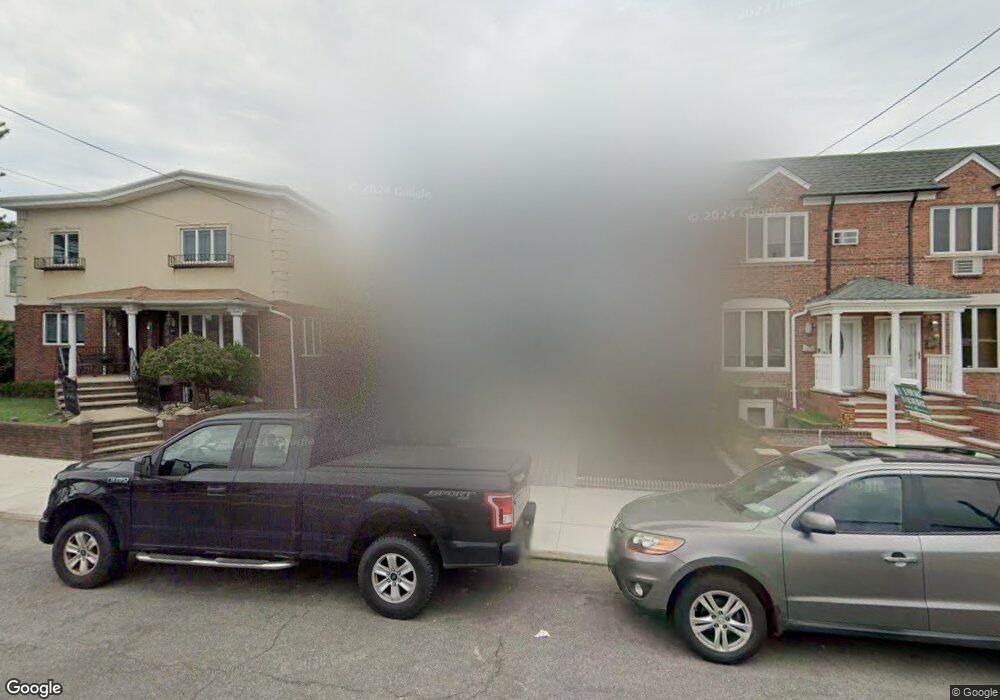
79 Gravesend Neck Rd Brooklyn, NY 11223
Gravesend NeighborhoodEstimated Value: $827,426 - $1,204,000
Studio
--
Bath
1,024
Sq Ft
$959/Sq Ft
Est. Value
About This Home
This home is located at 79 Gravesend Neck Rd, Brooklyn, NY 11223 and is currently estimated at $982,107, approximately $959 per square foot. 79 Gravesend Neck Rd is a home located in Kings County with nearby schools including P.S. 95 - The Gravesend, Is 228 David A Boody, and Abraham Lincoln High School.
Ownership History
Date
Name
Owned For
Owner Type
Purchase Details
Closed on
Apr 16, 2019
Sold by
Inytabi Dina
Bought by
Halabeih Eli
Current Estimated Value
Purchase Details
Closed on
Jan 4, 2005
Sold by
Ishay Adi
Bought by
Inytabi Dina
Purchase Details
Closed on
May 27, 2003
Sold by
Normandia Albert and Normandia Elizabeth
Bought by
Ishay Adi
Create a Home Valuation Report for This Property
The Home Valuation Report is an in-depth analysis detailing your home's value as well as a comparison with similar homes in the area
Home Values in the Area
Average Home Value in this Area
Purchase History
| Date | Buyer | Sale Price | Title Company |
|---|---|---|---|
| Halabeih Eli | $805,000 | -- | |
| Inytabi Dina | $425,500 | -- | |
| Ishay Adi | $395,000 | -- |
Source: Public Records
Mortgage History
| Date | Status | Borrower | Loan Amount |
|---|---|---|---|
| Closed | Ishay Adi | $0 |
Source: Public Records
Tax History
| Year | Tax Paid | Tax Assessment Tax Assessment Total Assessment is a certain percentage of the fair market value that is determined by local assessors to be the total taxable value of land and additions on the property. | Land | Improvement |
|---|---|---|---|---|
| 2025 | $6,757 | $60,060 | $11,760 | $48,300 |
| 2024 | $6,757 | $61,920 | $11,760 | $50,160 |
| 2023 | $6,832 | $63,900 | $11,760 | $52,140 |
| 2022 | $6,665 | $52,020 | $11,760 | $40,260 |
| 2021 | $6,628 | $48,480 | $11,760 | $36,720 |
| 2020 | $3,109 | $47,160 | $11,760 | $35,400 |
| 2019 | $5,864 | $47,160 | $11,760 | $35,400 |
| 2018 | $5,715 | $28,033 | $5,921 | $22,112 |
| 2017 | $5,671 | $27,821 | $7,232 | $20,589 |
| 2016 | $5,247 | $26,247 | $6,942 | $19,305 |
| 2015 | $3,166 | $24,762 | $9,537 | $15,225 |
| 2014 | $3,166 | $23,361 | $10,790 | $12,571 |
Source: Public Records
Map
Nearby Homes
- 2151 E 1st St
- 71 Village Rd N Unit 3E
- 104 Village Rd S
- 2159 E 2nd St
- 9 Corso Ct
- 2416 McDonald Ave
- 232 Avenue U
- 67 Stryker St
- 222 Avenue V
- 2196 McDonald Ave
- 2233 W 5th St
- 2113 W 5th St
- 462 Lake St
- 472 Lake St
- 231 Van Sicklen St
- 2215 W 6th St
- 480 Van Sicklen St
- 40 Southgate Ct
- 2369 West St
- 2039 W 5th St
- 81 Gravesend Neck Rd
- 83 Gravesend Neck Rd
- 69 Gravesend Neck Rd
- 85 Gravesend Neck Rd
- 87 Gravesend Neck Rd
- 89 Gravesend Neck Rd
- 91 Gravesend Neck Rd
- 34 Village Rd E
- 63 Gravesend Neck Rd
- 32 Village Rd E
- 93 Gravesend Neck Rd
- 28 Village Rd E
- 95 Gravesend Neck Rd
- 59 Gravesend Neck Rd
- 59 Gravesend Neck Rd Unit 1
- 26 Village Rd E
- 97 Gravesend Neck Rd
- 24 Village Rd E
- 22 Village Rd E
- 57 Gravesend Neck Rd
Your Personal Tour Guide
Ask me questions while you tour the home.