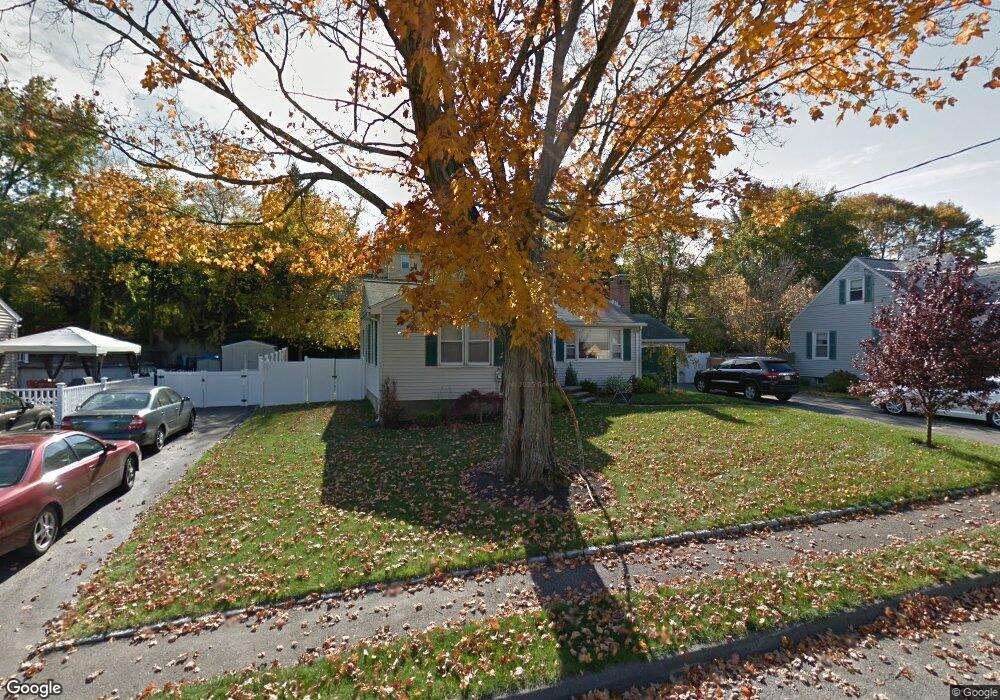
79 Greer St Waltham, MA 02452
North Waltham NeighborhoodEstimated Value: $913,000 - $1,020,000
3
Beds
3
Baths
2,322
Sq Ft
$409/Sq Ft
Est. Value
About This Home
This home is located at 79 Greer St, Waltham, MA 02452 and is currently estimated at $950,224, approximately $409 per square foot. 79 Greer St is a home located in Middlesex County with nearby schools including Northeast Elementary School, John F Kennedy Middle School, and Waltham Sr High School.
Ownership History
Date
Name
Owned For
Owner Type
Purchase Details
Closed on
Feb 22, 2016
Sold by
Foley Derek R
Bought by
Foley Derek R
Current Estimated Value
Home Financials for this Owner
Home Financials are based on the most recent Mortgage that was taken out on this home.
Original Mortgage
$280,000
Outstanding Balance
$223,356
Interest Rate
3.97%
Mortgage Type
New Conventional
Estimated Equity
$726,868
Purchase Details
Closed on
Nov 29, 2011
Sold by
Foley Derek R and Swain Kerri
Bought by
Foley Derek R
Purchase Details
Closed on
Jan 3, 2008
Sold by
Foley Ft
Bought by
Foley Derek R
Home Financials for this Owner
Home Financials are based on the most recent Mortgage that was taken out on this home.
Original Mortgage
$268,000
Interest Rate
6.27%
Mortgage Type
Purchase Money Mortgage
Purchase Details
Closed on
Jun 24, 2004
Sold by
Foley Virginia L
Bought by
Foley Ft
Create a Home Valuation Report for This Property
The Home Valuation Report is an in-depth analysis detailing your home's value as well as a comparison with similar homes in the area
Home Values in the Area
Average Home Value in this Area
Purchase History
| Date | Buyer | Sale Price | Title Company |
|---|---|---|---|
| Foley Derek R | -- | -- | |
| Foley Derek R | -- | -- | |
| Foley Derek R | $335,000 | -- | |
| Foley Ft | -- | -- |
Source: Public Records
Mortgage History
| Date | Status | Borrower | Loan Amount |
|---|---|---|---|
| Open | Foley Derek R | $280,000 | |
| Previous Owner | Foley Derek R | $268,000 |
Source: Public Records
Tax History Compared to Growth
Tax History
| Year | Tax Paid | Tax Assessment Tax Assessment Total Assessment is a certain percentage of the fair market value that is determined by local assessors to be the total taxable value of land and additions on the property. | Land | Improvement |
|---|---|---|---|---|
| 2025 | $7,505 | $764,300 | $438,400 | $325,900 |
| 2024 | $7,137 | $740,400 | $419,000 | $321,400 |
| 2023 | $7,083 | $686,300 | $380,200 | $306,100 |
| 2022 | $7,083 | $635,800 | $341,400 | $294,400 |
| 2021 | $4,610 | $525,700 | $341,400 | $184,300 |
| 2020 | $5,832 | $488,000 | $318,200 | $169,800 |
| 2019 | $5,845 | $461,700 | $314,300 | $147,400 |
| 2018 | $4,007 | $421,700 | $291,000 | $130,700 |
| 2017 | $4,955 | $394,500 | $263,800 | $130,700 |
| 2016 | $4,639 | $379,000 | $248,300 | $130,700 |
| 2015 | $4,467 | $340,200 | $217,300 | $122,900 |
Source: Public Records
Map
Nearby Homes
- 750 Trapelo Rd
- 170 Clocktower Dr Unit 5103
- 107 Clocktower Dr Unit 3302
- 87 Clocktower Dr Unit 2207
- 55 Circle Dr
- 65 Woburn St
- 23 Wight St
- 30 Jacqueline Rd Unit C
- 116 Raffaele Dr
- 1105 Lexington St Unit 102
- 70 Rosewood Dr
- 28 College Farm Rd Unit 2
- 30 Wampum Ave
- 311 Concord Ave
- 14 Piedmont Ave
- 129 Lake St
- 5 April Ln Unit 12
- 44 Sachem St
- 65 Montclair Ave
- 234 Lake St