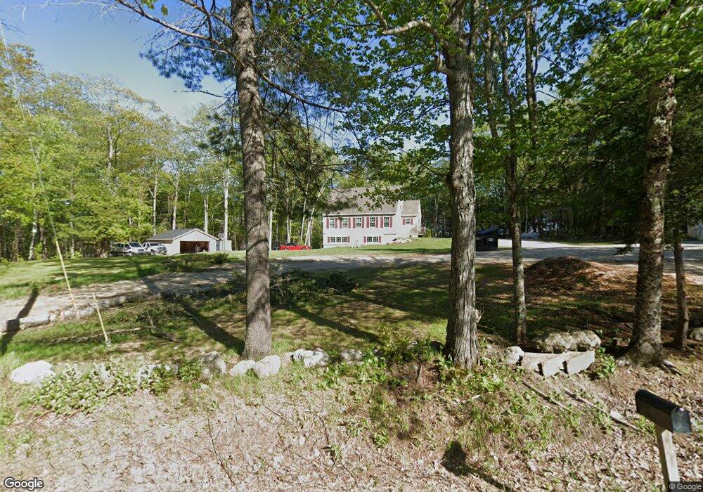
79 Hacker Rd Brunswick, ME 04011
Estimated Value: $725,114 - $859,000
3
Beds
4
Baths
2,170
Sq Ft
$373/Sq Ft
Est. Value
About This Home
This home is located at 79 Hacker Rd, Brunswick, ME 04011 and is currently estimated at $808,529, approximately $372 per square foot. 79 Hacker Rd is a home with nearby schools including Kate Furbish Elementary School, Brunswick Jr High School, and Brunswick High School.
Ownership History
Date
Name
Owned For
Owner Type
Purchase Details
Closed on
May 11, 2020
Sold by
Matthews Elliott and Matthews Jetta
Bought by
Matthews Jetta and Matthews Dennis
Current Estimated Value
Home Financials for this Owner
Home Financials are based on the most recent Mortgage that was taken out on this home.
Original Mortgage
$291,947
Outstanding Balance
$258,706
Interest Rate
3.3%
Mortgage Type
New Conventional
Estimated Equity
$549,823
Create a Home Valuation Report for This Property
The Home Valuation Report is an in-depth analysis detailing your home's value as well as a comparison with similar homes in the area
Home Values in the Area
Average Home Value in this Area
Purchase History
| Date | Buyer | Sale Price | Title Company |
|---|---|---|---|
| Matthews Jetta | -- | None Available |
Source: Public Records
Mortgage History
| Date | Status | Borrower | Loan Amount |
|---|---|---|---|
| Open | Matthews Jetta | $291,947 |
Source: Public Records
Tax History
| Year | Tax Paid | Tax Assessment Tax Assessment Total Assessment is a certain percentage of the fair market value that is determined by local assessors to be the total taxable value of land and additions on the property. | Land | Improvement |
|---|---|---|---|---|
| 2024 | $9,972 | $418,100 | $57,500 | $360,600 |
| 2023 | $9,679 | $415,600 | $57,500 | $358,100 |
| 2022 | $8,693 | $400,800 | $57,500 | $343,300 |
| 2021 | $8,246 | $395,300 | $57,500 | $337,800 |
| 2020 | $7,767 | $381,300 | $57,500 | $323,800 |
| 2019 | $7,026 | $356,300 | $57,500 | $298,800 |
| 2018 | $6,741 | $356,300 | $57,500 | $298,800 |
| 2017 | $6,545 | $356,300 | $57,500 | $298,800 |
| 2016 | $5,204 | $177,300 | $31,000 | $146,300 |
| 2015 | $2,879 | $101,500 | $31,000 | $70,500 |
| 2014 | $2,589 | $101,500 | $31,000 | $70,500 |
| 2013 | -- | $101,500 | $31,000 | $70,500 |
Source: Public Records
Map
Nearby Homes
- Lot 9 Little Fawn Ln
- 481 River Rd
- 146 Shiloh Rd
- 52 Shiloh Rd
- 0 Nyasa Ln
- 3 Haskell Cir
- 45 Ruby Ln
- 42 Greystone Ln
- 42 Greystone Ln
- 20 Sadler Dr
- 38 Marc Ave
- 34 Compass Ln
- 16 Piper Farm Rd
- 006-114 Old Brunswick Rd
- 32 Grant Rd
- 14 Goddard St
- 215 Ward Rd
- 23 Forest Glen Ln
- 19 Forest Glen Ln
- 43 Forest Glen Ln
- 80 Hacker Rd
- 67 Hacker Rd
- 60 Hacker Rd
- 45 Hacker Rd
- 35 Cornerstone Dr
- 23 Cornerstone Dr
- 31 Cornerstone Dr
- 15 Cornerstone Dr
- Lt13 Cornerstone Dr
- 11 Cornerstone Dr
- Lot 52 Cornerstone Dr
- 117 Hacker Rd
- 3 Cornerstone Dr
- Lt 13 Cornerstone Dr
- Lot 13 Cornerstone Dr
- Lot 7 Cornerstone Dr
- Lt3 Cornerstone Dr
- 36 Cornerstone Dr
- 30 Cornerstone Dr
- 14 Cornerstone Dr
Your Personal Tour Guide
Ask me questions while you tour the home.