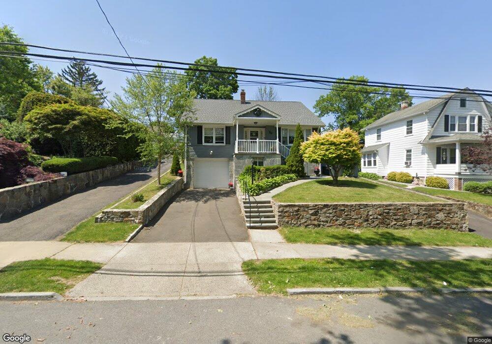
79 Halstead Ave Port Chester, NY 10573
Estimated Value: $868,382 - $961,000
6
Beds
4
Baths
1,974
Sq Ft
$461/Sq Ft
Est. Value
About This Home
This home is located at 79 Halstead Ave, Port Chester, NY 10573 and is currently estimated at $910,846, approximately $461 per square foot. 79 Halstead Ave is a home located in Westchester County with nearby schools including Port Chester Middle School, Port Chester Senior High School, and Corpus Christi Holy Rosary School.
Ownership History
Date
Name
Owned For
Owner Type
Purchase Details
Closed on
Jun 16, 2004
Sold by
Connolly Kevin W and Connolly Alexandra E
Bought by
Chica Edgar and Criollo Nancy Chica
Current Estimated Value
Purchase Details
Closed on
Jun 9, 1995
Sold by
Romanello Leonard and Romanello Denise
Bought by
Connolly Kevin W and Connolly Alexandria E
Create a Home Valuation Report for This Property
The Home Valuation Report is an in-depth analysis detailing your home's value as well as a comparison with similar homes in the area
Home Values in the Area
Average Home Value in this Area
Purchase History
| Date | Buyer | Sale Price | Title Company |
|---|---|---|---|
| Chica Edgar | $530,000 | Reliable Title Agency | |
| Connolly Kevin W | $220,000 | Stewart Title Insurance Co |
Source: Public Records
Tax History Compared to Growth
Tax History
| Year | Tax Paid | Tax Assessment Tax Assessment Total Assessment is a certain percentage of the fair market value that is determined by local assessors to be the total taxable value of land and additions on the property. | Land | Improvement |
|---|---|---|---|---|
| 2024 | $14,318 | $654,000 | $202,100 | $451,900 |
| 2023 | $13,099 | $628,800 | $192,500 | $436,300 |
| 2022 | $12,535 | $582,200 | $192,500 | $389,700 |
| 2021 | $13,438 | $554,500 | $192,500 | $362,000 |
| 2020 | $13,770 | $554,500 | $192,500 | $362,000 |
| 2019 | $15,919 | $512,500 | $176,500 | $336,000 |
| 2018 | $9,587 | $506,500 | $173,300 | $333,200 |
| 2017 | $2,124 | $497,800 | $171,800 | $326,000 |
| 2016 | $12,141 | $482,300 | $170,700 | $311,600 |
| 2015 | -- | $482,800 | $174,200 | $308,600 |
| 2014 | -- | $478,100 | $158,000 | $320,100 |
| 2013 | -- | $485,400 | $153,200 | $332,200 |
Source: Public Records
Map
Nearby Homes
- 28 1/2 Pilgrim Dr
- 238 Madison Ave
- 38 Riverdale Ave
- 531 1/2 Willett Ave
- 17 Austin Place
- 180 Madison Ave
- 70 Byram Terrace Dr
- 3 Green Ln
- 107 Pemberwick Rd
- 53 Linden St
- 563 King St
- 565 King St
- 340 Locust Ave
- 41 Chapel St
- 53 Upland St
- 8 Reynolds Place
- 40 Moshier St
- 263 N Regent St
- 14 Sherman Ave
- 106 Puritan Dr
- 75 Halstead Ave
- 83 Halstead Ave
- 73 Halstead Ave
- 85 Halstead Ave
- 71 Halstead Ave
- 1 Frank Place
- 155 Hobart Ave
- 151 Hobart Ave
- 159 Hobart Ave
- 165 Hobart Ave
- 147 Hobart Ave
- 67 Halstead Ave
- 80 Halstead Ave
- 76 Halstead Ave
- 84 Halstead Ave
- 169 Hobart Ave
- 145 Hobart Ave
- 86 Halstead Ave
- 74 Halstead Ave
- 63 Halstead Ave