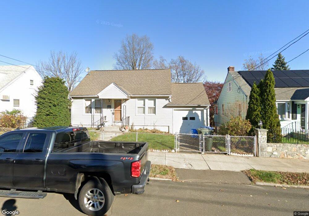
79 Harvey St Bridgeport, CT 06610
Boston Ave-Mill Hill NeighborhoodEstimated Value: $260,000 - $313,000
3
Beds
1
Bath
1,008
Sq Ft
$287/Sq Ft
Est. Value
About This Home
This home is located at 79 Harvey St, Bridgeport, CT 06610 and is currently estimated at $289,645, approximately $287 per square foot. 79 Harvey St is a home located in Fairfield County with nearby schools including Edison School and Harding High School.
Ownership History
Date
Name
Owned For
Owner Type
Purchase Details
Closed on
Apr 1, 1999
Sold by
Harris Helen
Bought by
House Willie L
Current Estimated Value
Home Financials for this Owner
Home Financials are based on the most recent Mortgage that was taken out on this home.
Original Mortgage
$76,800
Interest Rate
6.78%
Create a Home Valuation Report for This Property
The Home Valuation Report is an in-depth analysis detailing your home's value as well as a comparison with similar homes in the area
Home Values in the Area
Average Home Value in this Area
Purchase History
| Date | Buyer | Sale Price | Title Company |
|---|---|---|---|
| House Willie L | $76,800 | -- | |
| House Willie L | $76,800 | -- |
Source: Public Records
Mortgage History
| Date | Status | Borrower | Loan Amount |
|---|---|---|---|
| Open | House Willie L | $111,848 | |
| Closed | House Willie L | $100,000 | |
| Closed | House Willie L | $76,800 |
Source: Public Records
Tax History Compared to Growth
Tax History
| Year | Tax Paid | Tax Assessment Tax Assessment Total Assessment is a certain percentage of the fair market value that is determined by local assessors to be the total taxable value of land and additions on the property. | Land | Improvement |
|---|---|---|---|---|
| 2025 | $5,191 | $119,460 | $54,540 | $64,920 |
| 2024 | $5,191 | $119,460 | $54,540 | $64,920 |
| 2023 | $5,191 | $119,460 | $54,540 | $64,920 |
| 2022 | $5,191 | $119,460 | $54,540 | $64,920 |
| 2021 | $5,191 | $119,460 | $54,540 | $64,920 |
| 2020 | $4,125 | $76,410 | $25,570 | $50,840 |
| 2019 | $4,125 | $76,410 | $25,570 | $50,840 |
| 2018 | $4,154 | $76,410 | $25,570 | $50,840 |
| 2017 | $4,154 | $76,410 | $25,570 | $50,840 |
| 2016 | $4,154 | $76,410 | $25,570 | $50,840 |
| 2015 | $4,719 | $111,830 | $43,320 | $68,510 |
| 2014 | $4,719 | $111,830 | $43,320 | $68,510 |
Source: Public Records
Map
Nearby Homes
- 1575 Boston Ave Unit B2
- 37 Granfield Ave Unit 39
- 43 Granfield Ave Unit 45
- 33 Granfield Ave
- 5 Granfield Ave
- 332 Palisade Ave
- 302 Dover St
- 287 Dover St Unit 293
- 334 Dover St
- 357 Granfield Ave Unit B
- 0 63 Court A Bld 18 Ct Unit 24110827
- 361 Granfield Ave Unit Bldg 8, A
- 3 Granfield Ave
- 262 Pixlee Place
- 242 Pearl Harbor St
- 1922 Boston Ave Unit 1924
- 401 Granfield Ave Unit 2
- 215 Summerfield Ave
- 260 Success Ave Unit 21
- 14 Court a