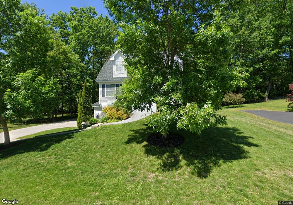
79 Hawthorne Cir Somersworth, NH 03878
Estimated Value: $447,000 - $552,000
3
Beds
2
Baths
1,547
Sq Ft
$323/Sq Ft
Est. Value
About This Home
This home is located at 79 Hawthorne Cir, Somersworth, NH 03878 and is currently estimated at $499,752, approximately $323 per square foot. 79 Hawthorne Cir is a home with nearby schools including Maple Wood Elementary School, Somersworth High School, and Tri-City Christian Academy.
Ownership History
Date
Name
Owned For
Owner Type
Purchase Details
Closed on
Dec 30, 2010
Sold by
Gerrish Park Llc
Bought by
Patterson Brieanna and Pettengill Edmund
Current Estimated Value
Home Financials for this Owner
Home Financials are based on the most recent Mortgage that was taken out on this home.
Original Mortgage
$212,175
Outstanding Balance
$141,789
Interest Rate
4.37%
Estimated Equity
$357,963
Create a Home Valuation Report for This Property
The Home Valuation Report is an in-depth analysis detailing your home's value as well as a comparison with similar homes in the area
Home Values in the Area
Average Home Value in this Area
Purchase History
| Date | Buyer | Sale Price | Title Company |
|---|---|---|---|
| Patterson Brieanna | $205,000 | -- | |
| Patterson Brieanna | $205,000 | -- |
Source: Public Records
Mortgage History
| Date | Status | Borrower | Loan Amount |
|---|---|---|---|
| Open | Patterson Brieanna | $212,175 | |
| Closed | Patterson Brieanna | $212,175 |
Source: Public Records
Tax History Compared to Growth
Tax History
| Year | Tax Paid | Tax Assessment Tax Assessment Total Assessment is a certain percentage of the fair market value that is determined by local assessors to be the total taxable value of land and additions on the property. | Land | Improvement |
|---|---|---|---|---|
| 2024 | $8,501 | $454,600 | $108,400 | $346,200 |
| 2023 | $7,451 | $254,300 | $40,600 | $213,700 |
| 2022 | $7,143 | $254,300 | $40,600 | $213,700 |
| 2021 | $7,001 | $254,300 | $40,600 | $213,700 |
| 2020 | $7,082 | $254,300 | $40,600 | $213,700 |
| 2019 | $6,937 | $254,300 | $40,600 | $213,700 |
| 2018 | $6,846 | $204,900 | $50,600 | $154,300 |
| 2017 | $6,777 | $204,800 | $50,600 | $154,200 |
| 2016 | $6,578 | $204,800 | $50,600 | $154,200 |
| 2015 | $6,544 | $202,900 | $50,600 | $152,300 |
| 2014 | $6,318 | $202,900 | $50,600 | $152,300 |
Source: Public Records
Map
Nearby Homes
- 159 W High St
- 395 Route 108
- 43 Otis Rd
- 203 New Hampshire 108
- 74 Crystal Springs Way
- 45 Crystal Springs Way
- 18 Lenox Dr Unit C
- 29 Chadwick Ln
- 301 Sherwood Glen
- 200 Sherwood Glen
- 229 Sherwood Glen
- 206 Sherwood Glen
- 163 Rochester St
- 187 Old Rochester Rd
- 19B Birch Hill Ln Unit 19B
- 23A Birch Hill Ln Unit 23A
- 23B Birch Hill Ln Unit 23B
- 19A Birch Hill Ln Unit 19A
- 27B Birch Hill Ln Unit 27B
- 22A Birch Hill Ln Unit 22A
- 77 Hawthorne Cir
- 10 Hawthorne Cir
- 16 Hawthorne Cir
- 8 Hawthorne Cir
- 190 W High St
- 24 Hawthorne Cir
- 73 Hawthorne Cir
- 15 Hawthorne Cir
- 2 Hawthorne Cir
- 188 W High St
- 11 Hawthorne Cir
- 25 Hawthorne Cir
- 70 Hawthorne Cir
- 9 Hawthorne Cir
- 9 Hawthorne Cir
- 67 Hawthorne Cir
- 184 W High St
- 29 Hawthorne Cir
- 7 Hawthorne Cir
- 28 Hawthorne Cir