79 Herman Savage Rd Lancaster, NH 03584
Estimated Value: $414,000 - $1,632,000
4
Beds
5
Baths
3,763
Sq Ft
$224/Sq Ft
Est. Value
About This Home
This home is located at 79 Herman Savage Rd, Lancaster, NH 03584 and is currently estimated at $842,687, approximately $223 per square foot. 79 Herman Savage Rd is a home with nearby schools including Groveton Elementary School and Groveton High School.
Ownership History
Date
Name
Owned For
Owner Type
Purchase Details
Closed on
May 2, 2016
Sold by
Melissa D H Keenan T
Bought by
Joseph T Keenan T
Current Estimated Value
Purchase Details
Closed on
Nov 13, 2006
Sold by
Mary E Sloat T
Bought by
Joseph T Keenan T
Home Financials for this Owner
Home Financials are based on the most recent Mortgage that was taken out on this home.
Original Mortgage
$680,000
Interest Rate
6.31%
Mortgage Type
Purchase Money Mortgage
Create a Home Valuation Report for This Property
The Home Valuation Report is an in-depth analysis detailing your home's value as well as a comparison with similar homes in the area
Home Values in the Area
Average Home Value in this Area
Purchase History
| Date | Buyer | Sale Price | Title Company |
|---|---|---|---|
| Joseph T Keenan T | -- | -- | |
| Joseph T Keenan T | $850,000 | -- |
Source: Public Records
Mortgage History
| Date | Status | Borrower | Loan Amount |
|---|---|---|---|
| Previous Owner | Joseph T Keenan T | $534,000 | |
| Previous Owner | Joseph T Keenan T | $620,000 | |
| Previous Owner | Joseph T Keenan T | $680,000 |
Source: Public Records
Tax History Compared to Growth
Tax History
| Year | Tax Paid | Tax Assessment Tax Assessment Total Assessment is a certain percentage of the fair market value that is determined by local assessors to be the total taxable value of land and additions on the property. | Land | Improvement |
|---|---|---|---|---|
| 2024 | $7,951 | $354,322 | $119,032 | $235,290 |
| 2023 | $7,582 | $354,638 | $119,348 | $235,290 |
| 2022 | $8,220 | $248,651 | $42,561 | $206,090 |
| 2021 | $8,832 | $250,128 | $44,038 | $206,090 |
| 2020 | $8,252 | $249,971 | $43,881 | $206,090 |
| 2019 | $8,121 | $250,347 | $44,257 | $206,090 |
| 2018 | $8,522 | $245,243 | $43,153 | $202,090 |
| 2016 | $8,870 | $241,041 | $34,741 | $206,300 |
| 2015 | $8,347 | $240,620 | $34,320 | $206,300 |
| 2013 | $8,189 | $244,601 | $33,301 | $211,300 |
Source: Public Records
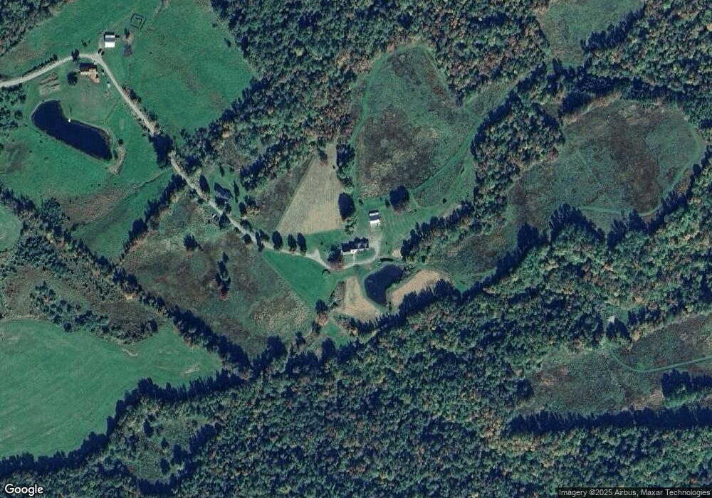
Map
Nearby Homes
- 98 Rowell Rd
- 19 Great Rock Rd
- 86 & 89 Garland Rd
- 0 Garland Rd Unit 38
- 36 Longview Dr
- 101 Page Hill Rd
- Lot 12 Page Hill Rd
- 86 & 90 Garland Rd
- Lots 7 & 8 Kelsea Dr
- Lot 5 Kelsea Ave
- 435 North Rd
- 140 Middle St
- 10 1st St
- 90 Bunker Hill St
- 8 Richardson St
- 95 Page Hill Rd
- Lot 82 Portland St
- Lot 2 Portland St
- 109 Dean Brook Dr
- 218 Portland St
- 55 Herman Savage Rd
- 26 Herman Savage Rd
- 134 Lost Nation Rd
- 158 Lost Nation Rd
- 20 Rae Dr
- 160 Lost Nation Rd
- Lot 1 Rae Rd
- 188 Lost Nation Rd
- 7 Rae Rd
- 0 Rae Road Lot 8 Unit 4450225
- 0 Rae Road Lot 8 Unit 4254822
- 6 Rae Rd
- 3 Rae Rd Off Lost Nation
- 4 Rae Rd
- 0 Rae Rd Unit Lot 2 4678725
- 0 Rae Road Lot 9 Unit 4254827
- 1 Rae Rd
- 2 Rae Rd
- 0 Rae Rd Unit 6 4254781
- 32 Rae Dr