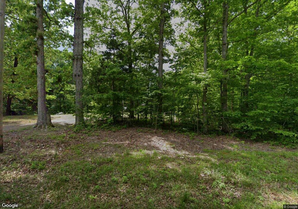
79 High Rd Camden, TN 38320
Estimated Value: $113,066 - $221,000
--
Bed
2
Baths
1,144
Sq Ft
$144/Sq Ft
Est. Value
About This Home
This home is located at 79 High Rd, Camden, TN 38320 and is currently estimated at $164,267, approximately $143 per square foot. 79 High Rd is a home located in Benton County with nearby schools including Camden Elementary School, Briarwood School, and Camden Junior High School.
Ownership History
Date
Name
Owned For
Owner Type
Purchase Details
Closed on
May 9, 2013
Sold by
Pafford Randy M
Bought by
Webb Pamela Machelle
Current Estimated Value
Purchase Details
Closed on
Jan 11, 2010
Sold by
Peck Glynda M
Bought by
Forguson Marvin
Home Financials for this Owner
Home Financials are based on the most recent Mortgage that was taken out on this home.
Original Mortgage
$11,050
Interest Rate
4.8%
Mortgage Type
Cash
Purchase Details
Closed on
Nov 23, 2005
Sold by
Not Provided
Bought by
Peck Glynda M
Purchase Details
Closed on
May 24, 2005
Sold by
Not Provided
Bought by
Not Provided
Purchase Details
Closed on
Sep 30, 1988
Bought by
Janachowski Michael T and Janachowski Mary L
Purchase Details
Closed on
Sep 30, 1977
Bought by
Harper James L and Harper Nancy D
Create a Home Valuation Report for This Property
The Home Valuation Report is an in-depth analysis detailing your home's value as well as a comparison with similar homes in the area
Home Values in the Area
Average Home Value in this Area
Purchase History
| Date | Buyer | Sale Price | Title Company |
|---|---|---|---|
| Webb Pamela Machelle | $58,500 | -- | |
| Forguson Marvin | $13,000 | -- | |
| Peck Glynda M | $90,000 | -- | |
| Not Provided | -- | -- | |
| Janachowski Michael T | $32,000 | -- | |
| Harper James L | -- | -- |
Source: Public Records
Mortgage History
| Date | Status | Borrower | Loan Amount |
|---|---|---|---|
| Previous Owner | Harper James L | $11,050 |
Source: Public Records
Tax History Compared to Growth
Tax History
| Year | Tax Paid | Tax Assessment Tax Assessment Total Assessment is a certain percentage of the fair market value that is determined by local assessors to be the total taxable value of land and additions on the property. | Land | Improvement |
|---|---|---|---|---|
| 2025 | $398 | $24,750 | $0 | $0 |
| 2024 | $398 | $14,575 | $3,325 | $11,250 |
| 2023 | $398 | $14,575 | $3,325 | $11,250 |
| 2022 | $398 | $14,575 | $3,325 | $11,250 |
| 2021 | $398 | $14,575 | $3,325 | $11,250 |
| 2020 | $398 | $14,575 | $3,325 | $11,250 |
| 2019 | $542 | $18,375 | $3,325 | $15,050 |
| 2018 | $542 | $18,375 | $3,325 | $15,050 |
| 2017 | $542 | $18,375 | $3,325 | $15,050 |
| 2016 | $542 | $18,375 | $3,325 | $15,050 |
| 2015 | $549 | $18,375 | $3,325 | $15,050 |
| 2014 | $523 | $18,375 | $3,325 | $15,050 |
| 2013 | $523 | $17,802 | $0 | $0 |
Source: Public Records
Map
Nearby Homes
- 3356 Eva Rd
- 45 Camelot Dr
- 5035 Eva Rd
- 317 Mcduff Ln
- 0 Chalk Hill Church Rd
- 00 Chalk Hill Church Rd
- 100 Camelot Dr
- 255 Hartley Rd
- 50 Dingus Ln
- 370 Alpine Rd
- 0 Chalk Hill Ch Rd Unit RTC2747118
- 0 Jeff Davis Dr
- 844 Stirling Rd
- 000 Kinnaird Access Rd
- 00 Cummins Rd Eva Harbor Rd
- 0 Cummins Rd Eva Harbor Rd
- 0 Cummins Rd Unit RTC2666481
- 0 Cummins Rd Unit RTC2666501
- 10 Eva Harbor Rd
- 0 Eva Harbor Rd
