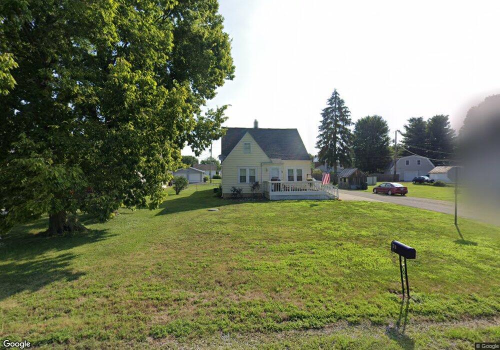
79 High St Carroll, OH 43112
Estimated Value: $173,000 - $311,000
3
Beds
1
Bath
1,198
Sq Ft
$203/Sq Ft
Est. Value
About This Home
This home is located at 79 High St, Carroll, OH 43112 and is currently estimated at $243,350, approximately $203 per square foot. 79 High St is a home located in Fairfield County with nearby schools including Bloom Carroll Primary School, Bloom Carroll Intermediate School, and Bloom-Carroll Middle School.
Ownership History
Date
Name
Owned For
Owner Type
Purchase Details
Closed on
Jan 3, 2013
Sold by
Stepp Brenda S and Pnc Bank N A
Bought by
J Johnson Investments Llc
Current Estimated Value
Purchase Details
Closed on
Apr 21, 1999
Sold by
Vannatta Michael A
Bought by
Stepp Brenda S
Home Financials for this Owner
Home Financials are based on the most recent Mortgage that was taken out on this home.
Original Mortgage
$63,600
Interest Rate
7.17%
Mortgage Type
New Conventional
Purchase Details
Closed on
Oct 31, 1991
Bought by
Secretary Of Housing & Urban
Purchase Details
Closed on
Jul 30, 1991
Sold by
Culp Jeffrey
Bought by
Secretary Of Housing & Urban
Create a Home Valuation Report for This Property
The Home Valuation Report is an in-depth analysis detailing your home's value as well as a comparison with similar homes in the area
Home Values in the Area
Average Home Value in this Area
Purchase History
| Date | Buyer | Sale Price | Title Company |
|---|---|---|---|
| J Johnson Investments Llc | $68,000 | None Available | |
| Stepp Brenda S | $79,500 | -- | |
| Secretary Of Housing & Urban | -- | -- | |
| Secretary Of Housing & Urban | -- | -- |
Source: Public Records
Mortgage History
| Date | Status | Borrower | Loan Amount |
|---|---|---|---|
| Previous Owner | Stepp Brenda S | $63,600 |
Source: Public Records
Tax History Compared to Growth
Tax History
| Year | Tax Paid | Tax Assessment Tax Assessment Total Assessment is a certain percentage of the fair market value that is determined by local assessors to be the total taxable value of land and additions on the property. | Land | Improvement |
|---|---|---|---|---|
| 2024 | $4,454 | $55,890 | $15,460 | $40,430 |
| 2023 | $2,470 | $55,890 | $15,460 | $40,430 |
| 2022 | $2,487 | $55,890 | $15,460 | $40,430 |
| 2021 | $1,736 | $38,310 | $12,890 | $25,420 |
| 2020 | $1,757 | $38,310 | $12,890 | $25,420 |
| 2019 | $1,764 | $38,310 | $12,890 | $25,420 |
| 2018 | $1,556 | $30,920 | $12,890 | $18,030 |
| 2017 | $1,461 | $34,710 | $12,890 | $21,820 |
| 2016 | $1,417 | $34,710 | $12,890 | $21,820 |
| 2015 | $1,335 | $31,840 | $12,890 | $18,950 |
| 2014 | $1,276 | $31,840 | $12,890 | $18,950 |
| 2013 | $1,276 | $30,300 | $12,890 | $17,410 |
Source: Public Records
Map
Nearby Homes
- 52 W Canal St
- 62 Oberle Ave
- 2155 Carroll-Southern Rd NW
- 5341 Carnes Rd
- 6920 Winchester Rd NW
- 4180 Stone Hill Drive East NW
- 4656 Meadow Grove Dr NW
- 4900 Pickerington Rd NW
- 3738 Arrowhead Dr NW
- 5726 Bish Rd
- 8322 Benson Rd
- 1975 Lamb Rd NW
- 2831 Sterling Dr NW
- 0 Pleasantville Rd NW Unit Lot 7
- 7936 Allen Rd
- 7985 Lithopolis Rd NW
- 5560 Amanda Northern Rd NW
- 7234 Pickerington Rd
- 4129 Brook Rd NW
- 3355 Old Columbus Rd NW