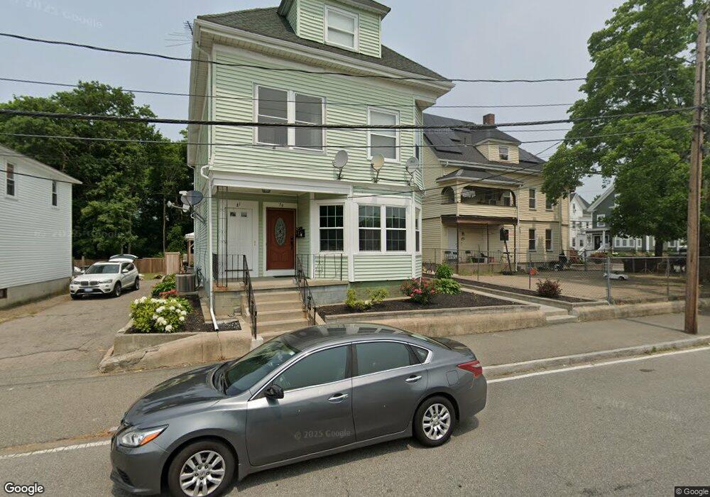
79 Keith Ave Brockton, MA 02301
Campello NeighborhoodEstimated Value: $717,000 - $899,089
5
Beds
3
Baths
3,095
Sq Ft
$268/Sq Ft
Est. Value
About This Home
This home is located at 79 Keith Ave, Brockton, MA 02301 and is currently estimated at $828,522, approximately $267 per square foot. 79 Keith Ave is a home located in Plymouth County with nearby schools including Davis K-8 School, John F. Kennedy Elementary School, and South Middle School.
Ownership History
Date
Name
Owned For
Owner Type
Purchase Details
Closed on
Feb 23, 2015
Sold by
Jcl Rt
Bought by
Barbosa Maria P and Pires Anacleto
Current Estimated Value
Home Financials for this Owner
Home Financials are based on the most recent Mortgage that was taken out on this home.
Original Mortgage
$287,375
Outstanding Balance
$219,945
Interest Rate
3.74%
Mortgage Type
New Conventional
Estimated Equity
$608,577
Purchase Details
Closed on
May 10, 1994
Sold by
Half & Half Inc
Bought by
Pina Peter E
Purchase Details
Closed on
Jan 20, 1994
Sold by
Ge Capital Mtg Svcs
Bought by
Lovetere Joseph
Home Financials for this Owner
Home Financials are based on the most recent Mortgage that was taken out on this home.
Original Mortgage
$45,000
Interest Rate
7.08%
Mortgage Type
Purchase Money Mortgage
Purchase Details
Closed on
Feb 19, 1993
Sold by
Pina Peter E and Shearson Lehman Mtg
Bought by
Shearson Lehman Hutton
Create a Home Valuation Report for This Property
The Home Valuation Report is an in-depth analysis detailing your home's value as well as a comparison with similar homes in the area
Home Values in the Area
Average Home Value in this Area
Purchase History
| Date | Buyer | Sale Price | Title Company |
|---|---|---|---|
| Barbosa Maria P | $302,500 | -- | |
| Pina Peter E | $219,000 | -- | |
| Lovetere Joseph | $11,000 | -- | |
| Shearson Lehman Hutton | $37,500 | -- |
Source: Public Records
Mortgage History
| Date | Status | Borrower | Loan Amount |
|---|---|---|---|
| Open | Barbosa Maria P | $287,375 | |
| Previous Owner | Shearson Lehman Hutton | $45,000 |
Source: Public Records
Tax History Compared to Growth
Tax History
| Year | Tax Paid | Tax Assessment Tax Assessment Total Assessment is a certain percentage of the fair market value that is determined by local assessors to be the total taxable value of land and additions on the property. | Land | Improvement |
|---|---|---|---|---|
| 2025 | $8,140 | $672,200 | $130,700 | $541,500 |
| 2024 | $7,782 | $647,400 | $130,700 | $516,700 |
| 2023 | $7,571 | $583,300 | $99,000 | $484,300 |
| 2022 | $7,396 | $529,400 | $89,500 | $439,900 |
| 2021 | $6,808 | $469,500 | $73,600 | $395,900 |
| 2020 | $4,744 | $396,200 | $70,000 | $326,200 |
| 2019 | $6,323 | $406,900 | $66,700 | $340,200 |
| 2018 | $5,520 | $343,700 | $66,700 | $277,000 |
| 2017 | $4,373 | $304,100 | $66,700 | $237,400 |
| 2016 | $4,389 | $252,800 | $64,600 | $188,200 |
| 2015 | $3,381 | $186,300 | $64,600 | $121,700 |
| 2014 | $3,312 | $182,700 | $64,600 | $118,100 |
Source: Public Records
Map
Nearby Homes
- 115 Market St
- 65 Tremont St
- 223 Clinton St Unit 10
- 223 Clinton St Unit 3
- 977 Warren Ave
- 936 Warren Ave
- 47 Southworth St
- 137 Channing Ave
- 103 Clinton St
- 35 Longworth Ave Unit 17
- 163 S Leyden St
- 15 Longworth Ave Unit 231
- 153 Bouve Ave
- 15 1st St
- 37 Menlo Ave
- 20 Custer St
- 176 Ettrick St
- 61 Myrtle St
- 222 Menlo St
- 358 Copeland St
- 1237 Warren Ave
- 87 Keith Ave
- 1233 Warren Ave
- 97 Keith Ave
- 1225 Warren Ave
- 1225 Warren Ave Unit 3
- 93 Keith Ave
- 67 Keith Ave
- 1238 Warren Ave
- 1213 Warren Ave
- 66 Keith Ave
- 1270 Warren Ave
- 1224 Warren Ave
- 1203 Warren Ave
- 57 Keith Ave
- 62 Keith Ave
- 1272 Warren Ave
- 1195 Warren Ave
- 1208 Warren Ave
- 1193 Warren Ave