79 Maclean Rd Alstead, NH 03602
Estimated Value: $298,000 - $748,000
2
Beds
1
Bath
1,361
Sq Ft
$327/Sq Ft
Est. Value
About This Home
This home is located at 79 Maclean Rd, Alstead, NH 03602 and is currently estimated at $445,584, approximately $327 per square foot. 79 Maclean Rd is a home located in Cheshire County with nearby schools including Alstead Primary School, Vilas Elementary School, and Fall Mountain Regional High School.
Create a Home Valuation Report for This Property
The Home Valuation Report is an in-depth analysis detailing your home's value as well as a comparison with similar homes in the area
Tax History
| Year | Tax Paid | Tax Assessment Tax Assessment Total Assessment is a certain percentage of the fair market value that is determined by local assessors to be the total taxable value of land and additions on the property. | Land | Improvement |
|---|---|---|---|---|
| 2024 | $5,010 | $185,700 | $74,400 | $111,300 |
| 2023 | $4,314 | $169,626 | $58,326 | $111,300 |
| 2022 | $4,180 | $169,626 | $58,326 | $111,300 |
| 2021 | $3,944 | $169,626 | $58,326 | $111,300 |
| 2020 | $4,142 | $169,621 | $58,321 | $111,300 |
| 2019 | $4,148 | $148,950 | $42,750 | $106,200 |
| 2018 | $4,030 | $148,997 | $42,797 | $106,200 |
| 2017 | $3,945 | $147,922 | $42,722 | $105,200 |
| 2016 | $3,980 | $147,882 | $42,682 | $105,200 |
Source: Public Records
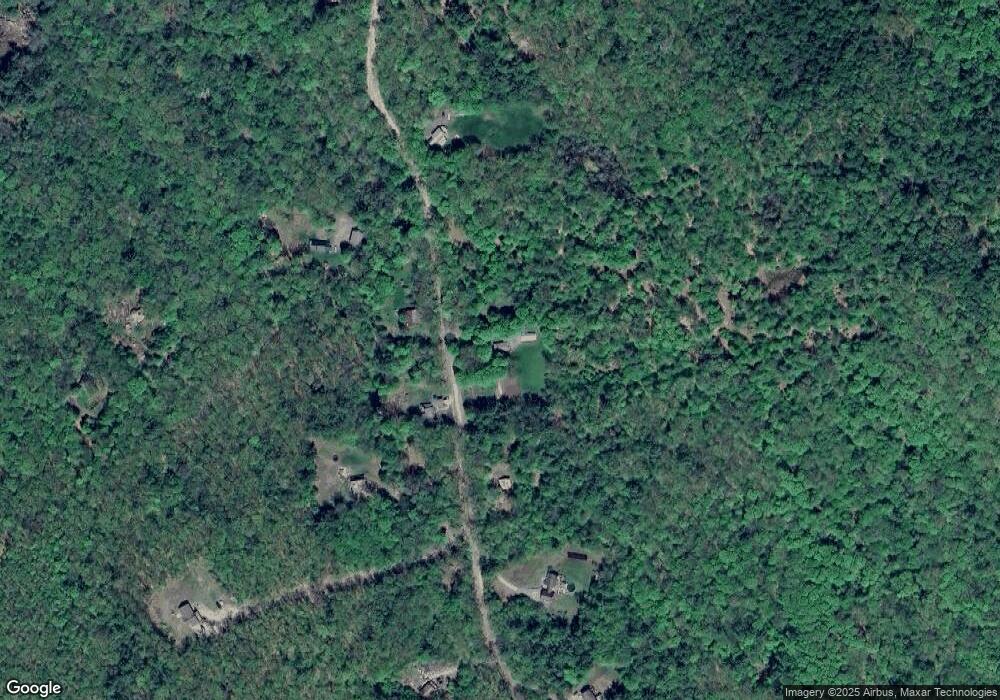
Map
Nearby Homes
- 33 Maclean Rd
- 861 Alstead Center Rd
- 540 Hill Rd
- 411 Alstead Center Rd
- 61 North Rd
- 26 Old North Main St
- 9 Rogers St
- 521 County Rd
- 31 Wentworth Rd
- 24 Westminster St
- 101 Wentworth Rd
- 34 Ford Ave
- 0 Old Gilsum Rd Unit 6
- 24 Village Rd
- 60 Dearborn Cir
- 00 New Hampshire 123
- 00 Cold River Rd Unit 3014.0
- 5362 Us Route 5
- 337 Old Keene Rd
- Lot 9-29 Murphy Hill Rd
- 78 Maclean Rd
- 88 Maclean Rd
- 88 Maclean Rd
- 95 Maclean Rd
- 53 Maclean Rd
- 12 Longacre Ln
- 105 Maclean Rd
- 118 Maclean Rd
- 102 Maclean Rd
- 32 Longacre Ln
- 34 Maclean Rd
- 33 Longacre Ln
- 28 Maclean Rd
- 244 Walpole Valley Rd
- 142 Maclean Rd
- 147 Maclean Rd
- 18 Maclean Rd
- 27 Maclean Rd
- 2 Maclean Rd
- 287 Walpole Valley Rd
Your Personal Tour Guide
Ask me questions while you tour the home.