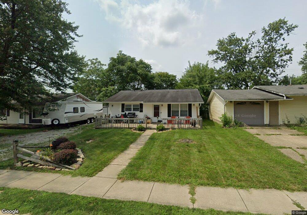
79 Meadow Ln Johnstown, OH 43031
Estimated Value: $209,000 - $245,000
3
Beds
1
Bath
928
Sq Ft
$242/Sq Ft
Est. Value
About This Home
This home is located at 79 Meadow Ln, Johnstown, OH 43031 and is currently estimated at $224,838, approximately $242 per square foot. 79 Meadow Ln is a home located in Licking County with nearby schools including Johnstown Middle School and Johnstown High School.
Ownership History
Date
Name
Owned For
Owner Type
Purchase Details
Closed on
Jul 1, 2015
Sold by
Anstaett Jeffrey L and Anstaett Kristy L
Bought by
Kajan Investments Llc
Current Estimated Value
Purchase Details
Closed on
Feb 16, 2001
Sold by
Carter Thomas D
Bought by
Anstaett Jeffrey L and Anstaett Kristy L
Purchase Details
Closed on
Apr 14, 2000
Sold by
Priest William S
Bought by
Carter Thomas D
Home Financials for this Owner
Home Financials are based on the most recent Mortgage that was taken out on this home.
Original Mortgage
$70,963
Interest Rate
8.29%
Mortgage Type
FHA
Purchase Details
Closed on
Aug 1, 1994
Sold by
Belt Donald W
Bought by
Priest William S and Priest Nannette F
Home Financials for this Owner
Home Financials are based on the most recent Mortgage that was taken out on this home.
Original Mortgage
$51,468
Interest Rate
8.41%
Mortgage Type
FHA
Create a Home Valuation Report for This Property
The Home Valuation Report is an in-depth analysis detailing your home's value as well as a comparison with similar homes in the area
Home Values in the Area
Average Home Value in this Area
Purchase History
| Date | Buyer | Sale Price | Title Company |
|---|---|---|---|
| Kajan Investments Llc | -- | Attorney | |
| Anstaett Jeffrey L | $78,000 | -- | |
| Carter Thomas D | $71,000 | -- | |
| Priest William S | $52,000 | -- |
Source: Public Records
Mortgage History
| Date | Status | Borrower | Loan Amount |
|---|---|---|---|
| Previous Owner | Carter Thomas D | $70,963 | |
| Previous Owner | Priest William S | $51,468 |
Source: Public Records
Tax History Compared to Growth
Tax History
| Year | Tax Paid | Tax Assessment Tax Assessment Total Assessment is a certain percentage of the fair market value that is determined by local assessors to be the total taxable value of land and additions on the property. | Land | Improvement |
|---|---|---|---|---|
| 2024 | $2,285 | $53,590 | $19,880 | $33,710 |
| 2023 | $2,303 | $53,590 | $19,880 | $33,710 |
| 2022 | $1,598 | $34,970 | $10,920 | $24,050 |
| 2021 | $1,672 | $34,970 | $10,920 | $24,050 |
| 2020 | $1,691 | $34,970 | $10,920 | $24,050 |
| 2019 | $1,427 | $27,130 | $9,940 | $17,190 |
| 2018 | $1,435 | $0 | $0 | $0 |
| 2017 | $1,416 | $0 | $0 | $0 |
| 2016 | $1,374 | $0 | $0 | $0 |
| 2015 | $1,398 | $0 | $0 | $0 |
| 2014 | $1,826 | $0 | $0 | $0 |
| 2013 | $603 | $0 | $0 | $0 |
Source: Public Records
Map
Nearby Homes
- 00- Johnstown Utica Rd
- Rte 62 Johnstown Utica Rd
- 163 Valleyview Dr
- 359 Buena Vista Dr
- 65 Benedict Dr
- 369 Hillview Dr
- 459 Sunset Dr
- 165 W Jersey St
- 93 W College Ave
- 137 S Oregon St
- 111 Edwards Rd
- 416 Fox Dr
- 500 Pheasant Ct
- 336 Raccoon Ave
- 198 Whitetail Trail
- 211 Whitetail Trail
- 216 N Main St
- 76 Yardner St
- 76 Yardner St Unit 21
- 201 Willow Trail Dr Unit 201