79 Michael Cir Lafayette, TN 37083
Estimated Value: $387,740 - $512,000
--
Bed
3
Baths
2,877
Sq Ft
$158/Sq Ft
Est. Value
About This Home
This home is located at 79 Michael Cir, Lafayette, TN 37083 and is currently estimated at $455,935, approximately $158 per square foot. 79 Michael Cir is a home located in Macon County with nearby schools including Macon Christian Academy and Lighthouse Academy.
Ownership History
Date
Name
Owned For
Owner Type
Purchase Details
Closed on
Aug 20, 2010
Sold by
Adams Charles B
Bought by
Carter Elizabeth A
Current Estimated Value
Purchase Details
Closed on
Aug 26, 2003
Sold by
Roger Russell
Bought by
Smith Marcus K
Purchase Details
Closed on
Jul 2, 2003
Sold by
Smith Marcus K
Bought by
Adams Charles B
Purchase Details
Closed on
Jul 24, 2002
Sold by
Roger Russell and Roger Karen
Bought by
Phillip Bransford
Purchase Details
Closed on
Apr 10, 2002
Sold by
Roger Russell and Roger Karen
Bought by
Nina Brooks
Create a Home Valuation Report for This Property
The Home Valuation Report is an in-depth analysis detailing your home's value as well as a comparison with similar homes in the area
Home Values in the Area
Average Home Value in this Area
Purchase History
| Date | Buyer | Sale Price | Title Company |
|---|---|---|---|
| Carter Elizabeth A | $225,000 | -- | |
| Smith Marcus K | $55,000 | -- | |
| Adams Charles B | $195,706 | -- | |
| Phillip Bransford | $27,000 | -- | |
| Nina Brooks | $22,500 | -- |
Source: Public Records
Tax History Compared to Growth
Tax History
| Year | Tax Paid | Tax Assessment Tax Assessment Total Assessment is a certain percentage of the fair market value that is determined by local assessors to be the total taxable value of land and additions on the property. | Land | Improvement |
|---|---|---|---|---|
| 2025 | $1,692 | $106,400 | $17,500 | $88,900 |
| 2024 | $2,000 | $106,400 | $17,500 | $88,900 |
| 2023 | $2,000 | $106,400 | $0 | $0 |
| 2022 | $1,975 | $62,725 | $9,375 | $53,350 |
| 2021 | $1,944 | $62,725 | $9,375 | $53,350 |
| 2020 | $1,944 | $62,725 | $9,375 | $53,350 |
| 2019 | $1,944 | $62,725 | $9,375 | $53,350 |
| 2018 | $1,797 | $62,725 | $9,375 | $53,350 |
| 2017 | $1,773 | $54,225 | $6,250 | $47,975 |
| 2016 | $1,708 | $54,225 | $6,250 | $47,975 |
| 2015 | $1,708 | $54,225 | $6,250 | $47,975 |
| 2014 | $1,708 | $54,218 | $0 | $0 |
Source: Public Records
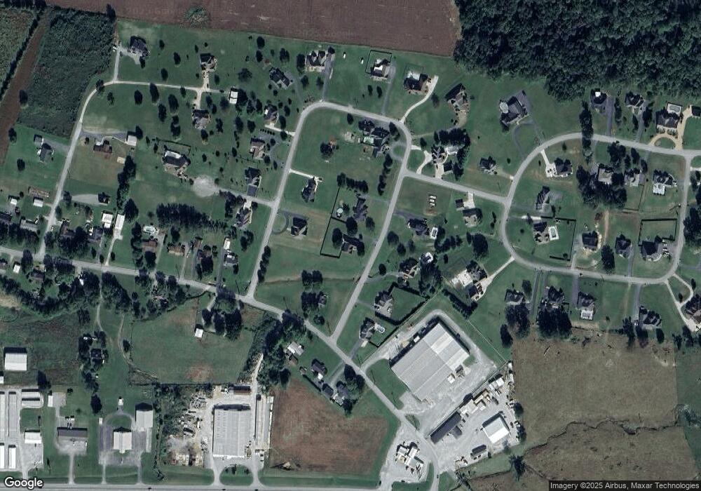
Map
Nearby Homes
- 351 Michael Cir
- 195 Froedge Dr
- 315 Froedge Dr
- 495 Froedge Dr
- 5142 Highway 52 W
- 90 Long Creek Rd
- 10 Mcnabb Ln
- 1401 Ellington Dr
- 1400 Dogwood Ln
- 1021 Maple Grove Rd
- 414 Meador Dr
- 412 Meador Dr
- 100 Ourtown Ct
- 1305 Scottsville Rd
- 1212 Hollis Ln
- 1414 Hillwood Cir
- 130 Mazie Dr
- - Key Rd
- 1403 Flippin Dr
- 306 Cassie Dr
- 111 Michael Cir
- 0 Michael Cir
- 371 Michael Cir
- 184 Brattontown Cir
- 84 Michael Cir
- 114 Michael Cir
- 50 Michael Cir
- 2 Michael Cir
- 20 Michael Cir
- 173 Michael Cir
- 382 Michael Cir
- 187 Brattontown Cir
- 350 Michael Cir
- 266 Brattontown Cir
- 9 Froedge Dr
- 80 Froedge Dr
- 27 Froedge Dr
- 159 Brattontown Cir
- 328 Michael Cir
- 40 William Cir