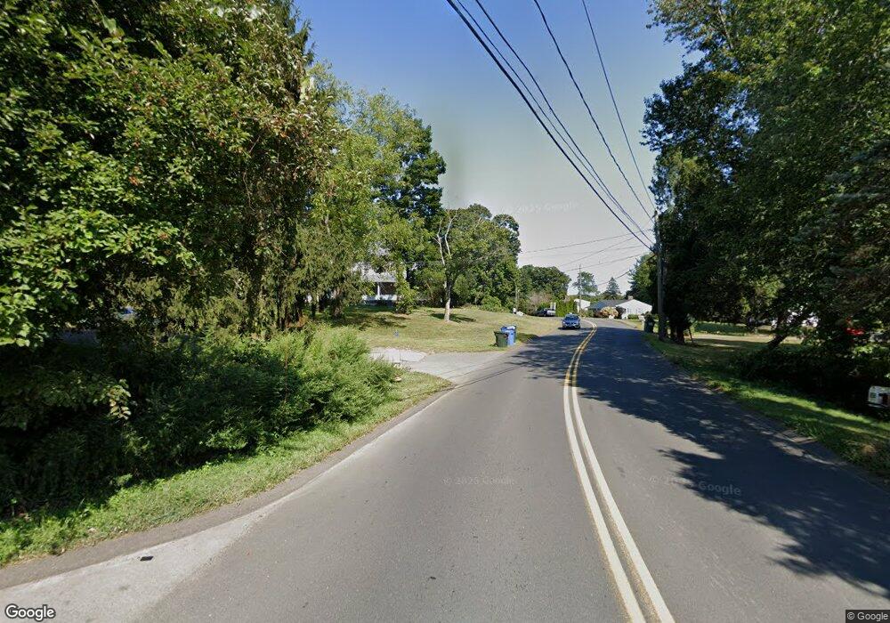
79 N High St Clinton, CT 06413
Estimated Value: $615,792 - $802,000
6
Beds
2
Baths
2,404
Sq Ft
$286/Sq Ft
Est. Value
About This Home
This home is located at 79 N High St, Clinton, CT 06413 and is currently estimated at $686,698, approximately $285 per square foot. 79 N High St is a home located in Middlesex County with nearby schools including Lewin G. Joel Jr. School, The Morgan School, and Grove School.
Create a Home Valuation Report for This Property
The Home Valuation Report is an in-depth analysis detailing your home's value as well as a comparison with similar homes in the area
Home Values in the Area
Average Home Value in this Area
Tax History Compared to Growth
Tax History
| Year | Tax Paid | Tax Assessment Tax Assessment Total Assessment is a certain percentage of the fair market value that is determined by local assessors to be the total taxable value of land and additions on the property. | Land | Improvement |
|---|---|---|---|---|
| 2025 | $7,860 | $252,400 | $90,400 | $162,000 |
| 2024 | $7,638 | $252,400 | $90,400 | $162,000 |
| 2023 | $7,529 | $252,400 | $90,400 | $162,000 |
| 2022 | $7,529 | $252,400 | $90,400 | $162,000 |
| 2021 | $7,586 | $254,300 | $90,400 | $163,900 |
| 2020 | $7,947 | $254,300 | $90,400 | $163,900 |
| 2019 | $7,947 | $254,300 | $90,400 | $163,900 |
| 2018 | $7,766 | $254,300 | $90,400 | $163,900 |
| 2017 | $7,606 | $254,300 | $90,400 | $163,900 |
| 2016 | $6,902 | $254,300 | $90,400 | $163,900 |
| 2015 | $7,014 | $262,000 | $104,600 | $157,400 |
| 2014 | $6,883 | $262,000 | $104,600 | $157,400 |
Source: Public Records
Map
Nearby Homes
- 82 N High St
- 52 High St
- 64 W Main St
- 0 Cow Hill Rd
- 133 W Main St Unit TRLR A9
- 133 W Main St Unit MV1
- 133 W Main St Unit TRLR C6
- 129 W Main St
- 28 Maple Ave
- 26 Cedar Island Ave
- 0 Fairy Dell Rd
- 13 Waterside Ln
- 26 Longate Rd
- 27 Maplewood Dr
- 14 Blaine Ave
- 76 Fairy Dell Rd
- 72 Long Hill Rd
- 62 Cedar Island Ave
- 19 Riverside Dr
- 15 Alden Dr
