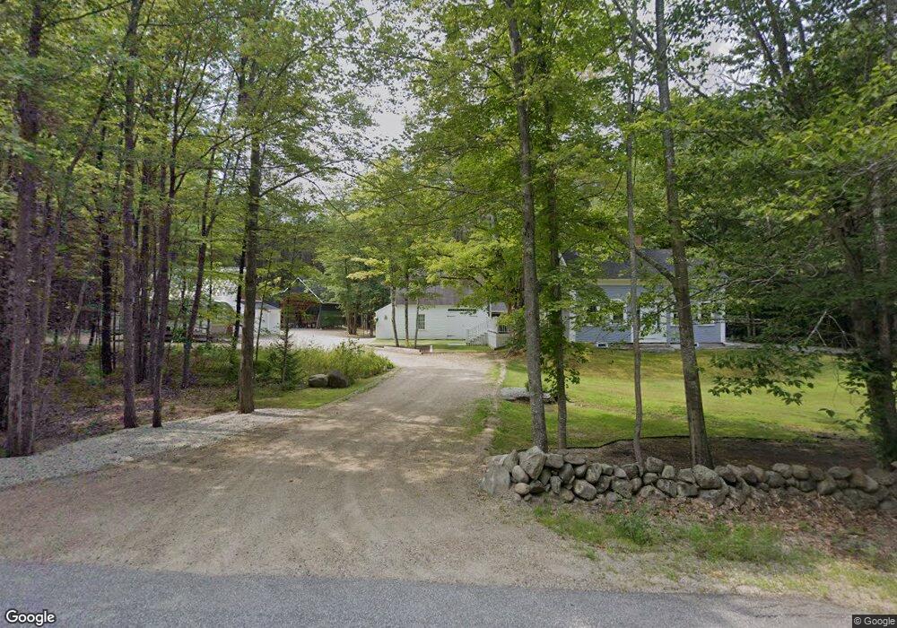
79 N Wolfeboro Rd Wolfeboro, NH 03894
Estimated Value: $532,437 - $634,000
3
Beds
2
Baths
2,110
Sq Ft
$283/Sq Ft
Est. Value
About This Home
This home is located at 79 N Wolfeboro Rd, Wolfeboro, NH 03894 and is currently estimated at $597,609, approximately $283 per square foot. 79 N Wolfeboro Rd is a home located in Carroll County with nearby schools including Carpenter Elementary School, Crescent Lake School, and Kingswood Regional Middle School.
Ownership History
Date
Name
Owned For
Owner Type
Purchase Details
Closed on
Nov 18, 2015
Sold by
Dubuc Jeffrey A
Bought by
Dubuc Ret Jeffrey A and Dubuc Jeffrey A
Current Estimated Value
Purchase Details
Closed on
Dec 11, 2009
Sold by
Heidebrink Kenneth J and Heidebrink Karen K
Bought by
Dubuc Jeffrey A
Home Financials for this Owner
Home Financials are based on the most recent Mortgage that was taken out on this home.
Original Mortgage
$200,000
Interest Rate
5.02%
Mortgage Type
Purchase Money Mortgage
Create a Home Valuation Report for This Property
The Home Valuation Report is an in-depth analysis detailing your home's value as well as a comparison with similar homes in the area
Home Values in the Area
Average Home Value in this Area
Purchase History
| Date | Buyer | Sale Price | Title Company |
|---|---|---|---|
| Dubuc Ret Jeffrey A | -- | -- | |
| Dubuc Jeffrey A | $250,000 | -- |
Source: Public Records
Mortgage History
| Date | Status | Borrower | Loan Amount |
|---|---|---|---|
| Previous Owner | Dubuc Jeffrey A | $200,000 |
Source: Public Records
Tax History
| Year | Tax Paid | Tax Assessment Tax Assessment Total Assessment is a certain percentage of the fair market value that is determined by local assessors to be the total taxable value of land and additions on the property. | Land | Improvement |
|---|---|---|---|---|
| 2024 | $5,222 | $328,400 | $75,700 | $252,700 |
| 2023 | $4,824 | $328,400 | $75,700 | $252,700 |
| 2022 | $4,341 | $328,400 | $75,700 | $252,700 |
| 2021 | $4,212 | $308,100 | $75,700 | $232,400 |
| 2020 | $4,008 | $308,100 | $75,700 | $232,400 |
| 2019 | $4,327 | $273,200 | $68,400 | $204,800 |
| 2018 | $4,285 | $271,200 | $68,400 | $202,800 |
| 2017 | $4,063 | $271,200 | $68,400 | $202,800 |
| 2016 | $3,968 | $271,200 | $68,400 | $202,800 |
| 2015 | $3,376 | $242,000 | $68,400 | $173,600 |
| 2014 | $3,102 | $238,400 | $73,500 | $164,900 |
| 2013 | $3,059 | $238,400 | $73,500 | $164,900 |
Source: Public Records
Map
Nearby Homes
- 33 Sky Ln
- Map 25-6 Upper Trask Mountain Rd
- Map 86 L 5 Haines Hill Rd
- 45 Old Granite Rd
- Map 102 L 4 Center St
- 20 Alberg Rd
- 11 Wellington Ct
- 6 Wellington Ct
- 11 N Line Rd
- 16 Pollys Crossing Rd
- 954 Route 16
- 829 Route 16
- 408 Governor Wentworth Hwy Unit 44
- 35 Margarets Way
- 0 Village Corner Rd Unit 15
- 0 Camp Rd Unit 14
- 19 Cotton Mountain Rd
- 179 Chickville Rd
- Lot 5A Phineas Graves Rd
- Lot 5C Phineas Graves Rd
- 79 N Wolfeborough Rd
- 88 N Wolfeboro Rd
- 72 N Wolfeboro Rd
- 101 N Wolfeboro Rd
- 45 N Wolfeboro Rd
- 17 N Wolfeboro Rd
- 1445 Center St
- 0 Old Route 28 Unit 2769315
- 139 N Wolfeboro Rd
- 33 Sky Ln
- 152 N Wolfeboro Rd
- 16 N Wolfeboro Rd
- 37 Johnson Rd
- 40 Old Route 28
- Lot 4 Old Route 28
- 157 N Wolfeboro Rd
- 160 N Wolfeboro Rd
- 34 Trask Mountain Rd
- 12 Johnson Rd
- 21 Penn Air Rd
Your Personal Tour Guide
Ask me questions while you tour the home.