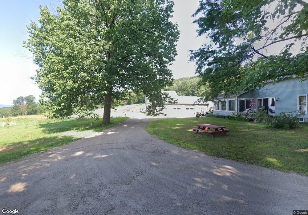
79 Old Manning Hill Rd Winchester, NH 03470
Estimated Value: $403,000 - $624,589
3
Beds
1
Bath
2,195
Sq Ft
$228/Sq Ft
Est. Value
About This Home
This home is located at 79 Old Manning Hill Rd, Winchester, NH 03470 and is currently estimated at $499,647, approximately $227 per square foot. 79 Old Manning Hill Rd is a home located in Cheshire County with nearby schools including Winchester School, Mayland Early College High School, and Keene High School.
Ownership History
Date
Name
Owned For
Owner Type
Purchase Details
Closed on
Dec 5, 2005
Sold by
Amann Denise M
Bought by
Canonica Samuel J
Current Estimated Value
Home Financials for this Owner
Home Financials are based on the most recent Mortgage that was taken out on this home.
Original Mortgage
$225,000
Outstanding Balance
$124,765
Interest Rate
6.14%
Mortgage Type
Purchase Money Mortgage
Estimated Equity
$374,882
Purchase Details
Closed on
Apr 16, 2003
Sold by
Eastham Sharon M
Bought by
Amann Denise M
Home Financials for this Owner
Home Financials are based on the most recent Mortgage that was taken out on this home.
Original Mortgage
$322,700
Interest Rate
5.75%
Create a Home Valuation Report for This Property
The Home Valuation Report is an in-depth analysis detailing your home's value as well as a comparison with similar homes in the area
Home Values in the Area
Average Home Value in this Area
Purchase History
| Date | Buyer | Sale Price | Title Company |
|---|---|---|---|
| Canonica Samuel J | $425,000 | -- | |
| Amann Denise M | $415,000 | -- |
Source: Public Records
Mortgage History
| Date | Status | Borrower | Loan Amount |
|---|---|---|---|
| Open | Amann Denise M | $80,000 | |
| Open | Amann Denise M | $225,000 | |
| Previous Owner | Amann Denise M | $322,700 |
Source: Public Records
Tax History Compared to Growth
Tax History
| Year | Tax Paid | Tax Assessment Tax Assessment Total Assessment is a certain percentage of the fair market value that is determined by local assessors to be the total taxable value of land and additions on the property. | Land | Improvement |
|---|---|---|---|---|
| 2024 | $10,568 | $361,290 | $70,790 | $290,500 |
| 2023 | $11,470 | $362,048 | $71,548 | $290,500 |
| 2022 | $10,425 | $363,234 | $72,734 | $290,500 |
| 2021 | $9,817 | $308,802 | $74,102 | $234,700 |
| 2020 | $8,882 | $308,715 | $74,015 | $234,700 |
| 2019 | $10,912 | $306,175 | $72,375 | $233,800 |
| 2018 | $10,633 | $306,148 | $72,348 | $233,800 |
| 2016 | $8,471 | $277,463 | $77,063 | $200,400 |
| 2015 | $8,456 | $276,531 | $76,131 | $200,400 |
| 2014 | $9,398 | $307,316 | $97,416 | $209,900 |
| 2013 | $9,518 | $309,739 | $172,039 | $137,700 |
Source: Public Records
Map
Nearby Homes
- 0 Old Tipping Rock Rd Unit 34
- 339 Burt Hill Rd
- 14 Wood Way
- 153 Back Ashuelot Rd
- 111 Warwick Rd
- 19 Back Ashuelot Rd
- 181 Main St
- 56 Ashuelot St
- 719 Mount Hermon Station Rd
- 50 Parker St
- 100 Main St
- 143 Richmond Rd
- Map 6 Lot 15-1 Off Opportunity Dr Unit 15-1
- Map 6 Lot 15-5 Off Opportunity Dr
- 406 Back Ashuelot Rd
- 0, Lot 2 Flower Hill Rd
- 0, Lot 1 Flower Hill Rd
- 49 Scotland Rd
- 9 Scotland Rd
- 9 Scotland Rd
- 58 Old Manning Hill Rd
- 59 Old Manning Hill Rd
- 3 Old Manning Hill Rd
- 0 Manning Hill Rd
- Lot #69 Manning Hill Rd
- 470 Burt Hill Rd
- 384 Manning Hill Rd
- 484 Burt Hill Rd
- 430 Burt Hill Rd
- 420 Burt Hill Rd
- 410 Burt Hill Rd
- 369 Manning Hill Rd
- 505 Burt Hill Rd
- 469 Burt Hill Rd
- 370 Manning Hill Rd
- 405 Burt Hill Rd
- 515 Burt Hill Rd
- 523 Burt Hill Rd
- 342 Manning Hill Rd
- 529 Burt Hill Rd