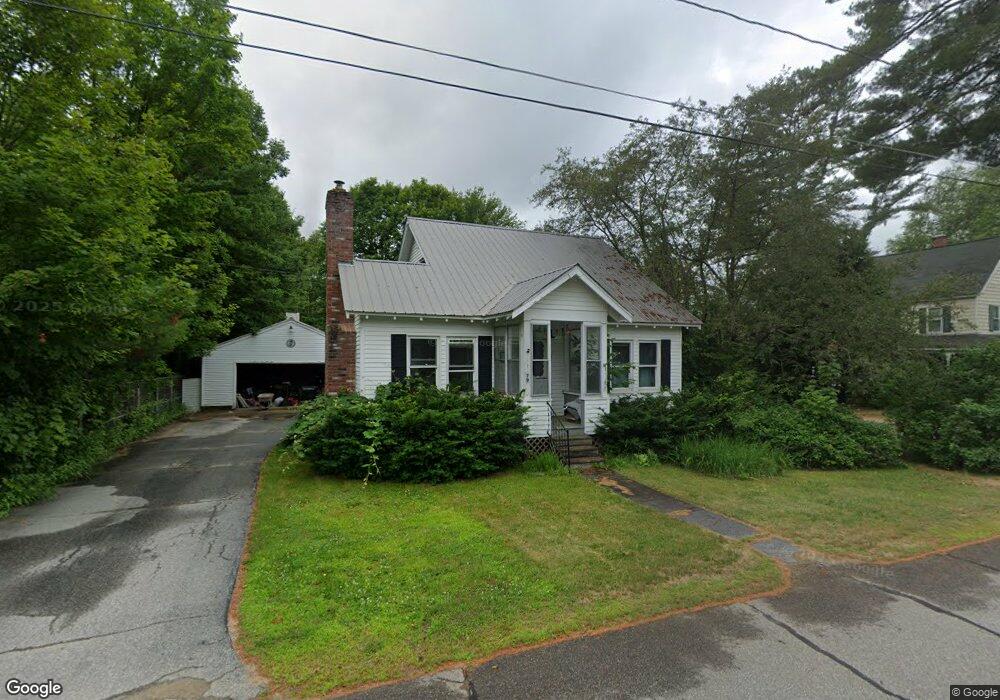
79 Paradise Rd North Woodstock, NH 03262
Estimated Value: $347,942 - $505,000
3
Beds
1
Bath
1,152
Sq Ft
$372/Sq Ft
Est. Value
About This Home
This home is located at 79 Paradise Rd, North Woodstock, NH 03262 and is currently estimated at $428,986, approximately $372 per square foot. 79 Paradise Rd is a home located in Grafton County with nearby schools including Lin-Wood Public Elementary School.
Ownership History
Date
Name
Owned For
Owner Type
Purchase Details
Closed on
Oct 13, 2011
Sold by
Frances A Howland Ret
Bought by
Marion Ralph S and Smith Michelle M
Current Estimated Value
Home Financials for this Owner
Home Financials are based on the most recent Mortgage that was taken out on this home.
Original Mortgage
$174,611
Outstanding Balance
$119,950
Interest Rate
4.25%
Mortgage Type
Purchase Money Mortgage
Estimated Equity
$309,036
Create a Home Valuation Report for This Property
The Home Valuation Report is an in-depth analysis detailing your home's value as well as a comparison with similar homes in the area
Home Values in the Area
Average Home Value in this Area
Purchase History
| Date | Buyer | Sale Price | Title Company |
|---|---|---|---|
| Marion Ralph S | $168,500 | -- |
Source: Public Records
Mortgage History
| Date | Status | Borrower | Loan Amount |
|---|---|---|---|
| Open | Marion Ralph S | $174,611 |
Source: Public Records
Tax History Compared to Growth
Tax History
| Year | Tax Paid | Tax Assessment Tax Assessment Total Assessment is a certain percentage of the fair market value that is determined by local assessors to be the total taxable value of land and additions on the property. | Land | Improvement |
|---|---|---|---|---|
| 2024 | $3,678 | $180,990 | $72,200 | $108,790 |
| 2023 | $3,518 | $180,990 | $72,200 | $108,790 |
| 2022 | $3,327 | $180,990 | $72,200 | $108,790 |
| 2021 | $3,439 | $180,990 | $72,200 | $108,790 |
| 2020 | $3,611 | $180,990 | $72,200 | $108,790 |
| 2019 | $3,306 | $152,420 | $65,700 | $86,720 |
| 2018 | $3,312 | $152,420 | $65,700 | $86,720 |
| 2016 | $3,032 | $152,420 | $65,700 | $86,720 |
| 2015 | $2,885 | $152,420 | $65,700 | $86,720 |
| 2014 | $2,900 | $153,540 | $63,800 | $89,740 |
| 2012 | $2,814 | $157,390 | $65,840 | $91,550 |
Source: Public Records
Map
Nearby Homes
- 23 Oakes St
- 14 Monroe Dr Unit 92
- 6 Monroe Dr Unit 111
- 17 Ridge Dr Unit A-14
- 11 Cascade Dr Unit 288
- 65 Riverfront Dr Unit 217
- 45 Riverfront Dr Unit 242
- 16 Riverfront Dr Unit 293
- 16 Riverfront Dr Unit 292
- 164 Deer Park Dr Unit 160D
- 164 Deer Park Dr Unit 161D
- 164 Deer Park Dr Unit 168D
- 156 Deer Park Dr Unit 135 A
- 206-011 Lost River Rd
- 56 Kancamagus Hwy
- 252-254 Lost River Rd
- 25 Main St
- 9 Moose Ln
- 34 Franklin St
- 5 Robin Rd Unit 1