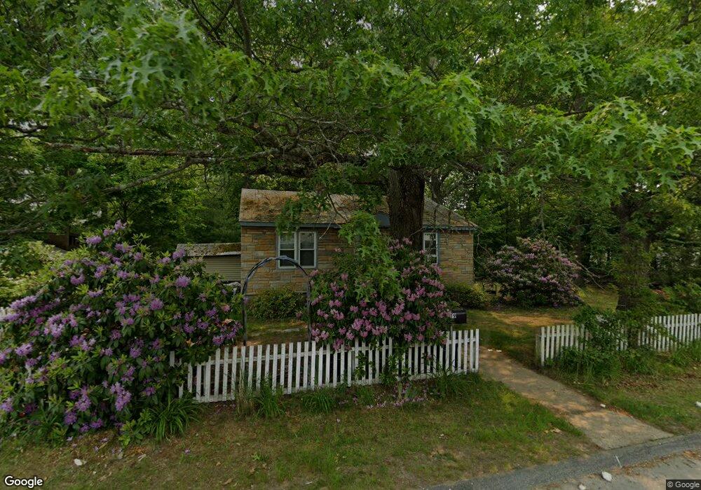
79 Progressive St Worcester, MA 01604
Grafton Hill NeighborhoodEstimated Value: $300,000 - $368,000
2
Beds
3
Baths
1,039
Sq Ft
$326/Sq Ft
Est. Value
About This Home
This home is located at 79 Progressive St, Worcester, MA 01604 and is currently estimated at $338,221, approximately $325 per square foot. 79 Progressive St is a home located in Worcester County with nearby schools including Roosevelt Elementary School, Jacob Hiatt Magnet School, and Chandler Magnet.
Ownership History
Date
Name
Owned For
Owner Type
Purchase Details
Closed on
Aug 13, 2015
Sold by
Roccanti Edward J
Bought by
Roccanti Joseph and Roccanti Stacie
Current Estimated Value
Home Financials for this Owner
Home Financials are based on the most recent Mortgage that was taken out on this home.
Original Mortgage
$152,192
Outstanding Balance
$121,773
Interest Rate
4.87%
Mortgage Type
FHA
Estimated Equity
$216,448
Create a Home Valuation Report for This Property
The Home Valuation Report is an in-depth analysis detailing your home's value as well as a comparison with similar homes in the area
Home Values in the Area
Average Home Value in this Area
Purchase History
| Date | Buyer | Sale Price | Title Company |
|---|---|---|---|
| Roccanti Joseph | $155,000 | -- |
Source: Public Records
Mortgage History
| Date | Status | Borrower | Loan Amount |
|---|---|---|---|
| Open | Roccanti Joseph | $152,192 |
Source: Public Records
Tax History
| Year | Tax Paid | Tax Assessment Tax Assessment Total Assessment is a certain percentage of the fair market value that is determined by local assessors to be the total taxable value of land and additions on the property. | Land | Improvement |
|---|---|---|---|---|
| 2025 | $3,333 | $252,700 | $118,800 | $133,900 |
| 2024 | $3,317 | $241,200 | $118,800 | $122,400 |
| 2023 | $3,165 | $220,700 | $103,300 | $117,400 |
| 2022 | $2,790 | $183,400 | $82,600 | $100,800 |
| 2021 | $2,805 | $172,300 | $66,100 | $106,200 |
| 2020 | $2,831 | $166,500 | $66,100 | $100,400 |
| 2019 | $2,774 | $154,100 | $59,600 | $94,500 |
| 2018 | $2,729 | $144,300 | $59,600 | $84,700 |
| 2017 | $2,754 | $143,300 | $59,600 | $83,700 |
| 2016 | $2,669 | $129,500 | $43,900 | $85,600 |
| 2015 | $2,599 | $129,500 | $43,900 | $85,600 |
| 2014 | $2,530 | $129,500 | $43,900 | $85,600 |
Source: Public Records
Map
Nearby Homes
- 143 Commonwealth Ave
- 12 Benham St
- 16 Arborwood Dr
- 53 Denver Terrace
- 25 Stoneham Rd
- 340 Sunderland Rd Unit 28
- 330 Sunderland Rd Unit 80
- 259 Massasoit Rd
- 256 Massasoit Rd
- 266 Massasoit Rd
- 16 Vincent Cir
- 62 Allston Ave
- 41 Modoc St
- 21 Middlesex Ave Unit 102
- 83 Massasoit Rd
- 20 Brightwood Ave
- 143 Dorcester
- Lot B Crawford St
- 9 Marissa Cir
- 19 Middlesex Ave
- 77 Progressive St
- 88 Progressive St
- 82 Progressive St
- 0 Lachapelle St
- 75 Progressive St
- 21 Lachapelle St
- 80 Progressive St
- 179 Sunderland Rd
- 181 Sunderland Rd
- 181 Sunderland Rd Unit 1
- 181 Sunderland Rd Unit 2
- 181 Sunderland Rd
- 5 Freeman St
- 5 Benoit St
- 28 Lachapelle St
- 183 Sunderland Rd
- 78 Progressive St
- 73 Progressive St
- 73 Progressive St
- 41 County St
Your Personal Tour Guide
Ask me questions while you tour the home.