79 Ridge Farm Rd Strafford, NH 03884
Estimated Value: $500,000 - $577,000
3
Beds
2
Baths
2,100
Sq Ft
$260/Sq Ft
Est. Value
About This Home
This home is located at 79 Ridge Farm Rd, Strafford, NH 03884 and is currently estimated at $546,254, approximately $260 per square foot. 79 Ridge Farm Rd is a home with nearby schools including Strafford School and Coe-Brown Northwood Academy.
Ownership History
Date
Name
Owned For
Owner Type
Purchase Details
Closed on
Aug 9, 2022
Sold by
Prevatt Terry
Bought by
Prevatt Terry and Prevatt Catherine
Current Estimated Value
Purchase Details
Closed on
Jan 21, 2021
Sold by
Chase-Prevatt Janet L
Bought by
Prevatt Terry
Home Financials for this Owner
Home Financials are based on the most recent Mortgage that was taken out on this home.
Original Mortgage
$183,000
Interest Rate
2.9%
Mortgage Type
Stand Alone Refi Refinance Of Original Loan
Create a Home Valuation Report for This Property
The Home Valuation Report is an in-depth analysis detailing your home's value as well as a comparison with similar homes in the area
Home Values in the Area
Average Home Value in this Area
Purchase History
| Date | Buyer | Sale Price | Title Company |
|---|---|---|---|
| Prevatt Terry | -- | None Available | |
| Prevatt Terry | -- | None Available | |
| Prevatt Terry | -- | None Available | |
| Prevatt Terry | -- | None Available | |
| Prevatt Terry | -- | None Available | |
| Prevatt Terry | -- | None Available |
Source: Public Records
Mortgage History
| Date | Status | Borrower | Loan Amount |
|---|---|---|---|
| Previous Owner | Prevatt Terry | $183,000 |
Source: Public Records
Tax History Compared to Growth
Tax History
| Year | Tax Paid | Tax Assessment Tax Assessment Total Assessment is a certain percentage of the fair market value that is determined by local assessors to be the total taxable value of land and additions on the property. | Land | Improvement |
|---|---|---|---|---|
| 2024 | $6,752 | $341,700 | $63,700 | $278,000 |
| 2023 | $6,369 | $341,700 | $63,700 | $278,000 |
| 2022 | $5,858 | $342,000 | $64,000 | $278,000 |
| 2021 | $6,563 | $355,600 | $64,100 | $291,500 |
| 2020 | $7,092 | $276,500 | $59,700 | $216,800 |
| 2019 | $6,487 | $276,400 | $59,600 | $216,800 |
| 2018 | $4,567 | $276,100 | $59,600 | $216,500 |
| 2016 | $5,871 | $276,300 | $59,800 | $216,500 |
| 2015 | $5,354 | $245,500 | $69,800 | $175,700 |
| 2014 | $5,686 | $245,500 | $69,800 | $175,700 |
| 2013 | $5,570 | $245,600 | $69,900 | $175,700 |
| 2012 | $5,499 | $245,700 | $70,000 | $175,700 |
Source: Public Records
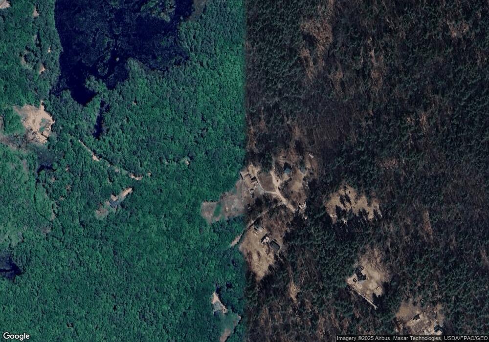
Map
Nearby Homes
- 83 Sloper Rd
- 0 Sloper Rd Unit 6
- 1226 First Crown Point Rd
- 948 Strafford Rd
- 345 Dry Hill Rd
- 243 Second Crown Point Rd
- M37 L40 Beaver Rd
- 86 Long Shores Dr
- 68 Berry River Rd
- 0 Long Shores Dr Unit 5057687
- 38 Strafford Rd
- 00 Squire Rd
- 30 Avalon Rd
- 28-1 Range Rd
- 11 Drake Hill Rd
- 268 Province Rd
- Map 220 Lot 16 Four Rod Rd
- 22 Stonewall Dr
- 3 Fire Rd Unit 151
- 272 Walnut St
- 80 Ridge Farm Rd
- 65 Ridge Farm Rd
- 62 Ridge Farm Rd
- 73 Ridge Farm Rd
- 117 Ridge Farm Rd
- 50 Ridge Farm Rd
- 26 Ridge Farm Rd
- 139 Ridge Farm Rd
- 15 Ridge Farm Rd
- 181 Ridge Farm Rd
- 208 Cross Rd
- 178 Cross Rd
- 226 Cross Rd
- 196 Cross Rd
- 210 Cross Rd
- 218 Cross Rd
- 953 2nd Crown Point Rd
- 12 Mohawk Trail Way
- 225 Cross Rd
- 239 Cross Rd