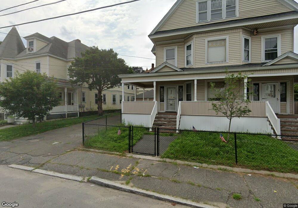
79 Saunders St Unit 81 Lawrence, MA 01841
Arlington NeighborhoodEstimated Value: $803,000 - $926,000
6
Beds
2
Baths
4,140
Sq Ft
$209/Sq Ft
Est. Value
About This Home
This home is located at 79 Saunders St Unit 81, Lawrence, MA 01841 and is currently estimated at $867,197, approximately $209 per square foot. 79 Saunders St Unit 81 is a home located in Essex County with nearby schools including Olive Branch Elementary School, School For Exceptional Studies, and Community Day Charter Public School - Gateway.
Ownership History
Date
Name
Owned For
Owner Type
Purchase Details
Closed on
Jul 26, 2004
Sold by
Gallo Josephine Ann and Gallo Vincent
Bought by
Gallo Josephine Ann and Gallo Kara
Current Estimated Value
Purchase Details
Closed on
Sep 4, 1980
Bought by
Gallo Vincent
Create a Home Valuation Report for This Property
The Home Valuation Report is an in-depth analysis detailing your home's value as well as a comparison with similar homes in the area
Home Values in the Area
Average Home Value in this Area
Purchase History
| Date | Buyer | Sale Price | Title Company |
|---|---|---|---|
| Gallo Josephine Ann | -- | -- | |
| Gallo Vincent | -- | -- |
Source: Public Records
Tax History Compared to Growth
Tax History
| Year | Tax Paid | Tax Assessment Tax Assessment Total Assessment is a certain percentage of the fair market value that is determined by local assessors to be the total taxable value of land and additions on the property. | Land | Improvement |
|---|---|---|---|---|
| 2025 | $7,503 | $852,600 | $151,600 | $701,000 |
| 2024 | $6,907 | $746,700 | $112,100 | $634,600 |
| 2023 | $7,285 | $717,000 | $109,400 | $607,600 |
| 2022 | $6,906 | $603,700 | $109,400 | $494,300 |
| 2021 | $7,209 | $587,500 | $109,400 | $478,100 |
| 2020 | $7,126 | $573,300 | $98,300 | $475,000 |
| 2019 | $6,521 | $476,700 | $88,300 | $388,400 |
| 2018 | $5,974 | $417,200 | $76,000 | $341,200 |
| 2017 | $5,653 | $368,500 | $75,100 | $293,400 |
| 2016 | $5,290 | $341,100 | $54,800 | $286,300 |
| 2015 | $4,870 | $322,100 | $54,800 | $267,300 |
Source: Public Records
Map
Nearby Homes
- 129-131 Lexington St
- 20 Knox St Unit 43
- 20 Knox St Unit 23
- 100-102 E Haverhill St
- 169 Berkeley St
- 6 Longwood Dr
- 131A Lawrence St Unit 40
- 183 Berkeley St
- 24 Bennington St
- 192 Union St
- 65 Brook St
- 35 Kendall St
- 7 Magnolia Rd
- 32 Alma St Unit 32
- 24 Boylston St
- 5 Arlington Terrace
- 167 Ferry 53 Mann St Unit 2,5,6
- 434-438 Hampshire St
- 6 Brook St
- 9 Boylston St
- 75-77-77 Saunders St Unit B
- 75-77-77 Saunders St Unit B
- 75 Saunders St Unit 77
- 84-86 Knox St
- 84 Knox St Unit 86
- 82 Knox St
- 88 Knox St
- 90 Saunders St
- 106 Berkeley St
- 106 Berkeley St Unit 1
- 96 Saunders St
- 80 Knox St
- 71 Saunders St
- 93 Saunders St
- 74 Saunders St
- 74 Saunders St Unit 2
- 100 Saunders St
- 90 Knox St
- 87 Knox St
- 70 Saunders St