79 Shearer Rd Washington, CT 06793
Estimated Value: $986,919 - $1,120,000
3
Beds
3
Baths
2,472
Sq Ft
$423/Sq Ft
Est. Value
About This Home
This home is located at 79 Shearer Rd, Washington, CT 06793 and is currently estimated at $1,045,973, approximately $423 per square foot. 79 Shearer Rd is a home located in Litchfield County with nearby schools including Shepaug Valley School, Rumsey Hall School, and The Glenholme School.
Ownership History
Date
Name
Owned For
Owner Type
Purchase Details
Closed on
Mar 18, 2014
Sold by
Arturi Peter
Bought by
Arturi Denise
Current Estimated Value
Purchase Details
Closed on
Apr 8, 2013
Sold by
Arture Denise
Bought by
Arture 2Nd Peter
Home Financials for this Owner
Home Financials are based on the most recent Mortgage that was taken out on this home.
Original Mortgage
$180,000
Interest Rate
3.58%
Mortgage Type
New Conventional
Create a Home Valuation Report for This Property
The Home Valuation Report is an in-depth analysis detailing your home's value as well as a comparison with similar homes in the area
Home Values in the Area
Average Home Value in this Area
Purchase History
| Date | Buyer | Sale Price | Title Company |
|---|---|---|---|
| Arturi Denise | -- | -- | |
| Arturi Denise | -- | -- | |
| Arture 2Nd Peter | -- | -- | |
| Arture 2Nd Peter | -- | -- |
Source: Public Records
Mortgage History
| Date | Status | Borrower | Loan Amount |
|---|---|---|---|
| Open | Arture 2Nd Peter | $238,000 | |
| Previous Owner | Arture 2Nd Peter | $180,000 |
Source: Public Records
Tax History Compared to Growth
Tax History
| Year | Tax Paid | Tax Assessment Tax Assessment Total Assessment is a certain percentage of the fair market value that is determined by local assessors to be the total taxable value of land and additions on the property. | Land | Improvement |
|---|---|---|---|---|
| 2025 | $5,678 | $523,320 | $113,960 | $409,360 |
| 2024 | $5,678 | $523,320 | $113,960 | $409,360 |
| 2023 | $4,495 | $315,410 | $114,870 | $200,540 |
| 2022 | $4,495 | $315,410 | $114,870 | $200,540 |
| 2021 | $4,495 | $315,410 | $114,870 | $200,540 |
| 2020 | $4,495 | $315,410 | $114,870 | $200,540 |
| 2019 | $4,495 | $315,410 | $114,870 | $200,540 |
| 2018 | $4,546 | $319,010 | $123,970 | $195,040 |
| 2017 | $4,546 | $319,010 | $123,970 | $195,040 |
| 2016 | $4,544 | $318,900 | $123,970 | $194,930 |
| 2015 | $4,385 | $318,900 | $123,970 | $194,930 |
| 2014 | $4,275 | $316,650 | $123,970 | $192,680 |
Source: Public Records
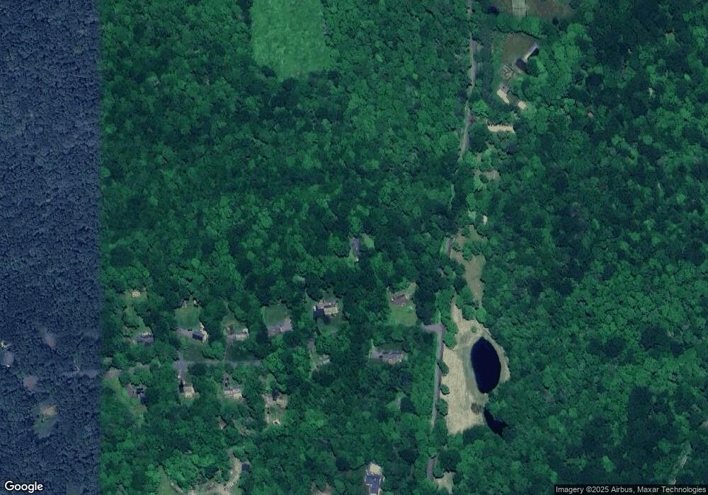
Map
Nearby Homes
- 298 Kenyon Rd
- 45 Sunny Ridge Rd
- 28 Sunny Ridge Rd
- 124 Auncient Oak Rd
- 23 Kenyon Rd
- 337 Romford Rd
- 181 Stoddard Rd
- 165 Stoddard Rd
- 187 Stoddard Rd
- 262 Stoddard Rd
- 44 Bantam Lake Heights
- 10 Gate Post Ln
- 102 Wykeham Rd
- 21 Long Meadow Rd
- 107 Island Trail
- 98 Island Trail
- 169 E Shore Rd
- 208 Wood Creek Rd
- 1 Sabbaday Ln
- 114 Carmel Hill Rd N