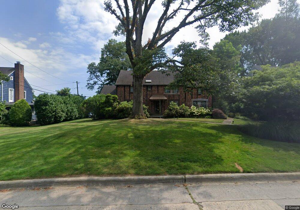
79 Summit Rd Port Washington, NY 11050
Estimated Value: $1,707,218 - $2,042,000
5
Beds
3
Baths
2,476
Sq Ft
$757/Sq Ft
Est. Value
About This Home
This home is located at 79 Summit Rd, Port Washington, NY 11050 and is currently estimated at $1,874,609, approximately $757 per square foot. 79 Summit Rd is a home located in Nassau County with nearby schools including John J. Daly Elementary School, Carrie Palmer Weber Middle School, and Paul D. Schreiber Senior High School.
Ownership History
Date
Name
Owned For
Owner Type
Purchase Details
Closed on
Aug 25, 2009
Sold by
Torelli Joseph and Torelli Janna Honig
Bought by
Nash Jamie and Nash Amy
Current Estimated Value
Home Financials for this Owner
Home Financials are based on the most recent Mortgage that was taken out on this home.
Original Mortgage
$185,000
Outstanding Balance
$94,063
Interest Rate
5.36%
Mortgage Type
Credit Line Revolving
Estimated Equity
$1,780,546
Purchase Details
Closed on
Jul 12, 2001
Sold by
Hansen Gregoryand Douaine
Bought by
Torelli Joseph and Torelli Janna Honig
Create a Home Valuation Report for This Property
The Home Valuation Report is an in-depth analysis detailing your home's value as well as a comparison with similar homes in the area
Home Values in the Area
Average Home Value in this Area
Purchase History
| Date | Buyer | Sale Price | Title Company |
|---|---|---|---|
| Nash Jamie | $617,500 | -- | |
| Torelli Joseph | $900,000 | William J Zaccaria |
Source: Public Records
Mortgage History
| Date | Status | Borrower | Loan Amount |
|---|---|---|---|
| Open | Nash Jamie | $185,000 | |
| Closed | Nash Jamie | $104,000 |
Source: Public Records
Tax History Compared to Growth
Tax History
| Year | Tax Paid | Tax Assessment Tax Assessment Total Assessment is a certain percentage of the fair market value that is determined by local assessors to be the total taxable value of land and additions on the property. | Land | Improvement |
|---|---|---|---|---|
| 2025 | $23,147 | $985 | $406 | $579 |
| 2024 | $6,738 | $968 | $399 | $569 |
| 2023 | $20,353 | $1,010 | $416 | $594 |
| 2022 | $20,353 | $1,010 | $416 | $594 |
| 2021 | $19,234 | $1,010 | $416 | $594 |
| 2020 | $18,176 | $1,669 | $1,668 | $1 |
| 2019 | $23,309 | $1,669 | $1,668 | $1 |
| 2018 | $21,884 | $1,669 | $0 | $0 |
| 2017 | $13,577 | $1,773 | $1,363 | $410 |
| 2016 | $20,917 | $1,877 | $1,443 | $434 |
| 2015 | $9,138 | $2,325 | $1,787 | $538 |
| 2014 | $9,138 | $2,325 | $1,787 | $538 |
| 2013 | $8,580 | $2,325 | $1,787 | $538 |
Source: Public Records
Map
Nearby Homes
- 57 Beacon Hill Rd
- 1 Hillcrest Rd
- 262 Harbor Acres Rd
- 11 Middle Rd
- 270 Harbor Acres Rd
- 100 Harbor View Dr Unit 423
- 100 Harbor View Dr Unit 439
- 108 Highland Ave
- 92 W Overlook
- 22 N Maryland Ave
- 70 Highland Ave
- 6 Jeannette Dr
- 155 Eagle Crest
- 39 Annette Dr
- 11 Park Ave
- 13 Linda Rd
- 25 Wood Rd
- 32 Herbert Ave
- 32 Fairview Ave
- 8 Fairview Ave