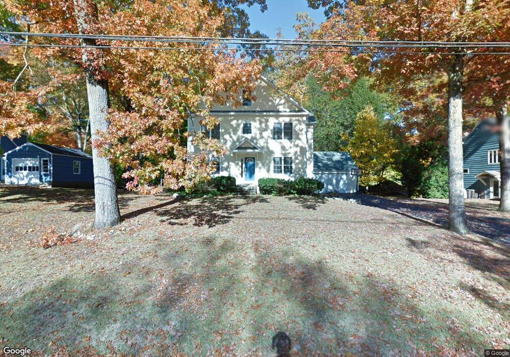
79 Wampus Way Fairfield, CT 06825
Lake Mohegan Hills NeighborhoodEstimated Value: $779,000 - $1,203,393
3
Beds
3
Baths
2,945
Sq Ft
$329/Sq Ft
Est. Value
About This Home
This home is located at 79 Wampus Way, Fairfield, CT 06825 and is currently estimated at $969,098, approximately $329 per square foot. 79 Wampus Way is a home located in Fairfield County with nearby schools including North Stratfield Elementary School, Fairfield Woods Middle School, and Fairfield Warde High School.
Ownership History
Date
Name
Owned For
Owner Type
Purchase Details
Closed on
Jul 2, 2002
Sold by
Oakes William F and Oakes Susan R
Bought by
Hugan Philip C and Hugan Margaret M
Current Estimated Value
Home Financials for this Owner
Home Financials are based on the most recent Mortgage that was taken out on this home.
Original Mortgage
$115,000
Interest Rate
6.92%
Create a Home Valuation Report for This Property
The Home Valuation Report is an in-depth analysis detailing your home's value as well as a comparison with similar homes in the area
Home Values in the Area
Average Home Value in this Area
Purchase History
| Date | Buyer | Sale Price | Title Company |
|---|---|---|---|
| Hugan Philip C | $360,000 | -- | |
| Hugan Philip C | $360,000 | -- |
Source: Public Records
Mortgage History
| Date | Status | Borrower | Loan Amount |
|---|---|---|---|
| Open | Hugan Philip C | $120,000 | |
| Open | Hugan Philip C | $244,833 | |
| Closed | Hugan Philip C | $115,000 |
Source: Public Records
Tax History Compared to Growth
Tax History
| Year | Tax Paid | Tax Assessment Tax Assessment Total Assessment is a certain percentage of the fair market value that is determined by local assessors to be the total taxable value of land and additions on the property. | Land | Improvement |
|---|---|---|---|---|
| 2025 | $14,295 | $503,510 | $241,430 | $262,080 |
| 2024 | $14,048 | $503,510 | $241,430 | $262,080 |
| 2023 | $13,852 | $503,510 | $241,430 | $262,080 |
| 2022 | $13,716 | $503,510 | $241,430 | $262,080 |
| 2021 | $13,585 | $503,510 | $241,430 | $262,080 |
| 2020 | $12,467 | $465,360 | $207,480 | $257,880 |
| 2019 | $12,467 | $465,360 | $207,480 | $257,880 |
| 2018 | $12,267 | $465,360 | $207,480 | $257,880 |
| 2017 | $12,016 | $465,360 | $207,480 | $257,880 |
| 2016 | $11,843 | $465,360 | $207,480 | $257,880 |
| 2015 | $11,155 | $449,960 | $218,400 | $231,560 |
| 2014 | $10,979 | $449,960 | $218,400 | $231,560 |
Source: Public Records
Map
Nearby Homes
- 251 Winnepoge Dr
- 31 High Ridge Rd
- 947 Galloping Hill Rd
- 109 Buckboard Ln
- 357 Harvester Rd
- 264 Harvester Rd
- 2492 Congress St
- 273 Wheeler Park Ave
- 750 Burr St
- 1748 Stratfield Rd
- 342 Fairfield Woods Rd
- 210 Pansy Rd
- 71 Schiller Rd
- 2959 Congress St
- 893 Church Hill Rd
- 160 Fairfield Woods Rd Unit 35
- 28 Stillson Place
- 99 Old Academy Rd
- 66 Wynn Wood Dr
- 706 Judd St
- 97 Wampus Way
- 57 Wampus Way
- 62 Wampus Way
- 39 Wampus Way
- 117 Wampus Way
- 12 Romanock Rd
- 14 Romanock Rd
- 104 Wampus Way
- 122 Wampus Way
- 42 Wampus Way
- 139 Wampus Way
- 53 Siacus Place
- 32 Romanock Rd
- 43 Siacus Place
- 242 Winnepoge Dr
- 264 Winnepoge Dr
- 142 Wampus Way
- 11 Romanock Rd
- 690 Winnepoge Dr
- 658 Winnepoge Dr