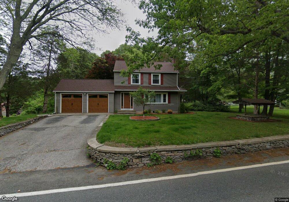
79 Winsor Ave Johnston, RI 02919
Bishop Heights NeighborhoodEstimated Value: $473,195 - $679,000
4
Beds
2
Baths
1,976
Sq Ft
$283/Sq Ft
Est. Value
About This Home
This home is located at 79 Winsor Ave, Johnston, RI 02919 and is currently estimated at $558,799, approximately $282 per square foot. 79 Winsor Ave is a home located in Providence County with nearby schools including Johnston Senior High School, Saint Philip School, and Overbrook Academy.
Ownership History
Date
Name
Owned For
Owner Type
Purchase Details
Closed on
Apr 28, 2011
Sold by
Kozlik Jeffrey J and Kozlik Anna A
Bought by
Dieringer Thor and Dieringer Kristina
Current Estimated Value
Home Financials for this Owner
Home Financials are based on the most recent Mortgage that was taken out on this home.
Original Mortgage
$205,030
Outstanding Balance
$139,649
Interest Rate
4.76%
Mortgage Type
Purchase Money Mortgage
Estimated Equity
$419,150
Create a Home Valuation Report for This Property
The Home Valuation Report is an in-depth analysis detailing your home's value as well as a comparison with similar homes in the area
Home Values in the Area
Average Home Value in this Area
Purchase History
| Date | Buyer | Sale Price | Title Company |
|---|---|---|---|
| Dieringer Thor | $203,000 | -- | |
| Dieringer Thor | $203,000 | -- |
Source: Public Records
Mortgage History
| Date | Status | Borrower | Loan Amount |
|---|---|---|---|
| Open | Dieringer Thor | $205,030 | |
| Closed | Dieringer Thor | $205,030 | |
| Previous Owner | Dieringer Thor | $100,000 |
Source: Public Records
Tax History
| Year | Tax Paid | Tax Assessment Tax Assessment Total Assessment is a certain percentage of the fair market value that is determined by local assessors to be the total taxable value of land and additions on the property. | Land | Improvement |
|---|---|---|---|---|
| 2025 | $5,098 | $326,400 | $90,400 | $236,000 |
| 2024 | $4,994 | $326,400 | $90,400 | $236,000 |
| 2023 | $4,994 | $326,400 | $90,400 | $236,000 |
| 2022 | $4,042 | $217,400 | $66,900 | $150,500 |
| 2021 | $5,052 | $217,400 | $66,900 | $150,500 |
| 2018 | $5,212 | $189,600 | $49,800 | $139,800 |
| 2016 | $6,896 | $189,600 | $49,800 | $139,800 |
| 2015 | $4,772 | $164,600 | $50,300 | $114,300 |
| 2014 | $3,786 | $164,600 | $50,300 | $114,300 |
| 2013 | $4,732 | $164,600 | $50,300 | $114,300 |
Source: Public Records
Map
Nearby Homes
- 112 Winsor Ave
- 49 Orchard Ave
- 70 Orchard Ave
- 10 Helena Way
- 85 Hopkins Ave
- 18 Orchard Ave
- 6 Christopher Dr
- 5 Orchard Ave
- 1 Winston Way Unit 1
- 30 Lakeview Dr
- 15 Chiswick Rd
- 2 Sturbridge Ave
- 22 Angell Rd
- 35 Elmdale Ave
- 3 W Prospect St
- 108 Moswansicut Lake Dr
- 7 Earhart St
- 14 Douglas Cir
- 13 Willow Rd
- 42 Belfield Dr
Your Personal Tour Guide
Ask me questions while you tour the home.