790 Daniel Rd Demorest, GA 30535
Estimated Value: $342,721 - $440,000
3
Beds
2
Baths
1,482
Sq Ft
$260/Sq Ft
Est. Value
About This Home
This home is located at 790 Daniel Rd, Demorest, GA 30535 and is currently estimated at $384,930, approximately $259 per square foot. 790 Daniel Rd is a home located in Habersham County with nearby schools including Fairview Elementary School, North Habersham Middle School, and Habersham Success Academy.
Ownership History
Date
Name
Owned For
Owner Type
Purchase Details
Closed on
Dec 21, 2017
Sold by
Miller Donna Kaye
Bought by
Miller Donna Kaye and Miller Donald G
Current Estimated Value
Home Financials for this Owner
Home Financials are based on the most recent Mortgage that was taken out on this home.
Original Mortgage
$133,000
Outstanding Balance
$34,615
Interest Rate
3.92%
Mortgage Type
New Conventional
Estimated Equity
$350,315
Create a Home Valuation Report for This Property
The Home Valuation Report is an in-depth analysis detailing your home's value as well as a comparison with similar homes in the area
Home Values in the Area
Average Home Value in this Area
Purchase History
| Date | Buyer | Sale Price | Title Company |
|---|---|---|---|
| Miller Donna Kaye | -- | -- | |
| Miller Donna Kaye | -- | -- |
Source: Public Records
Mortgage History
| Date | Status | Borrower | Loan Amount |
|---|---|---|---|
| Open | Miller Donna Kaye | $133,000 |
Source: Public Records
Tax History
| Year | Tax Paid | Tax Assessment Tax Assessment Total Assessment is a certain percentage of the fair market value that is determined by local assessors to be the total taxable value of land and additions on the property. | Land | Improvement |
|---|---|---|---|---|
| 2025 | $2,378 | $137,724 | $13,300 | $124,424 |
| 2024 | -- | $140,284 | $11,272 | $129,012 |
| 2023 | $1,776 | $118,052 | $11,272 | $106,780 |
| 2022 | $2,099 | $99,548 | $7,840 | $91,708 |
| 2021 | $1,988 | $89,360 | $7,840 | $81,520 |
| 2020 | $1,886 | $76,596 | $6,372 | $70,224 |
| 2019 | $1,888 | $76,596 | $6,372 | $70,224 |
| 2018 | $1,876 | $76,596 | $6,372 | $70,224 |
| 2017 | $1,777 | $68,980 | $4,900 | $64,080 |
| 2016 | $1,723 | $172,450 | $4,900 | $64,080 |
| 2015 | $1,703 | $172,450 | $4,900 | $64,080 |
| 2014 | $1,707 | $167,620 | $4,900 | $62,148 |
| 2013 | -- | $67,048 | $4,900 | $62,148 |
Source: Public Records
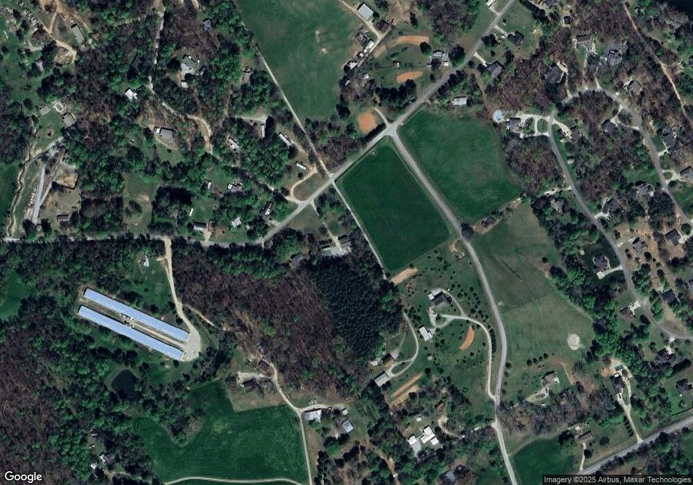
Map
Nearby Homes
- 0 Highway 115 Unit 10689122
- 350 Kitty Hawk Ln
- 385 Amys Rd
- 234 Dh Green Rd
- 415 Pardue Mill Rd
- 355 Zeb Bryson Rd
- 316 Bar Rod Rd
- 1361 Soque Ridge Cir
- 3039 Georgia 17
- 147 Crest Winds Dr
- 187 Poplar Springs Dr
- LOT 36 Habersham Mills Complex
- 110 Corbett York Rd
- 291 Tranquility Dr
- 0 St Augustine Ct Unit 7658117
- 0 Peaceful Waters Ln Unit 10683927
- 1616 St Augustine Ct
- 0 Wheeler Rd Unit 22579726
- 0 Shoals View
- 206 Shoals Way
- 768 Daniel Rd
- 309 Poplar Creek Trail
- 8 Daniel Rd
- 10 Daniel Rd
- LOT 10 Daniel Rd
- LOT 9 Daniel Rd
- LOT 5 Daniel Rd
- LOT 3 Daniel Rd
- LOT 2 Daniel Rd
- LOT 1 Daniel Rd
- LOT 8 Daniel Rd
- LOT 11 Daniel Rd
- LOT 4 Daniel Rd
- 117 Poplar Creek Trail
- 773 Daniel Rd
- 727 Daniel Rd
- 119 Poplar Creek Trail
- 800 Daniel Rd
- 126 Poplar Creek Trail
- 201 Poplar Creek Trail
Your Personal Tour Guide
Ask me questions while you tour the home.