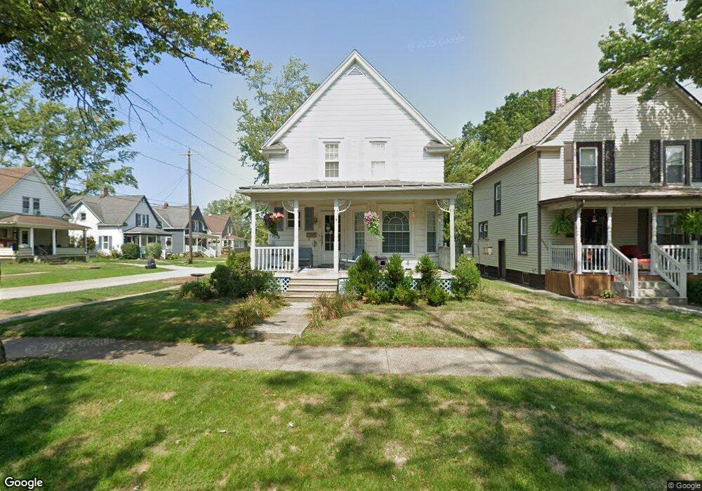
790 Maple Ave Conneaut, OH 44030
Estimated Value: $69,000 - $128,000
2
Beds
1
Bath
1,086
Sq Ft
$94/Sq Ft
Est. Value
About This Home
This home is located at 790 Maple Ave, Conneaut, OH 44030 and is currently estimated at $102,495, approximately $94 per square foot. 790 Maple Ave is a home located in Ashtabula County with nearby schools including Lakeshore Primary Elementary School, Gateway Elementary School, and Conneaut Middle School.
Ownership History
Date
Name
Owned For
Owner Type
Purchase Details
Closed on
Sep 6, 2023
Sold by
Root Theodore J and Root Emily J
Bought by
Root Theodore J and Root Emily J
Current Estimated Value
Purchase Details
Closed on
Jul 15, 2003
Sold by
Root Carrie M
Bought by
Root Theodore J
Purchase Details
Closed on
Sep 30, 1999
Sold by
Est Ethel Kovacic
Bought by
Root Theodore J
Home Financials for this Owner
Home Financials are based on the most recent Mortgage that was taken out on this home.
Original Mortgage
$48,000
Interest Rate
7.93%
Mortgage Type
New Conventional
Create a Home Valuation Report for This Property
The Home Valuation Report is an in-depth analysis detailing your home's value as well as a comparison with similar homes in the area
Home Values in the Area
Average Home Value in this Area
Purchase History
| Date | Buyer | Sale Price | Title Company |
|---|---|---|---|
| Root Theodore J | -- | None Listed On Document | |
| Root Theodore J | -- | None Listed On Document | |
| Root Theodore J | -- | -- | |
| Root Theodore J | $55,000 | -- |
Source: Public Records
Mortgage History
| Date | Status | Borrower | Loan Amount |
|---|---|---|---|
| Previous Owner | Root Theodore J | $48,000 |
Source: Public Records
Tax History
| Year | Tax Paid | Tax Assessment Tax Assessment Total Assessment is a certain percentage of the fair market value that is determined by local assessors to be the total taxable value of land and additions on the property. | Land | Improvement |
|---|---|---|---|---|
| 2024 | $1,211 | $16,560 | $1,610 | $14,950 |
| 2023 | $775 | $16,560 | $1,610 | $14,950 |
| 2022 | $676 | $12,710 | $1,230 | $11,480 |
| 2021 | $688 | $12,710 | $1,230 | $11,480 |
| 2020 | $688 | $12,710 | $1,230 | $11,480 |
| 2019 | $589 | $10,680 | $840 | $9,840 |
| 2018 | $562 | $10,680 | $840 | $9,840 |
| 2017 | $657 | $10,680 | $840 | $9,840 |
| 2016 | $744 | $15,550 | $1,230 | $14,320 |
| 2015 | $752 | $15,550 | $1,230 | $14,320 |
| 2014 | $662 | $15,550 | $1,230 | $14,320 |
| 2013 | $730 | $17,650 | $1,160 | $16,490 |
Source: Public Records
Map
Nearby Homes
- 238 Whitney St
- 745 Maple Ave
- 681 Madison St
- 855 Spring St Unit S9
- 536 Madison St
- 110 Edgewood Dr
- 474 Sherman St
- 475 State St
- 18 Hillcrest Ct
- 210 W Main Rd
- 202 W Main Rd Unit 132
- 375 Bliss Ave
- 555 Wrights Ave
- 450 Buffalo St
- 386 Washington St
- VL Center Rd
- 716 Chestnut St
- 1145 Lake Rd
- 166 Welton Rd
- 404 Viaduct St
- 786 Maple Ave
- 782 Maple Ave
- 256 Center St
- 271 Center St
- 265 Center St
- 275 Center St
- VL Center State Rd 7 Rd
- 781 Maple Ave
- 259 Whitney St
- 267 Whitney St
- 279 Center St
- 280 Center St
- 271 Whitney St
- 252 Center St
- 257 Center St
- 275 Whitney St
- 249 Whitney St
- 281 Center St
- 248 Center St
- 290 Center St Unit 292
Your Personal Tour Guide
Ask me questions while you tour the home.