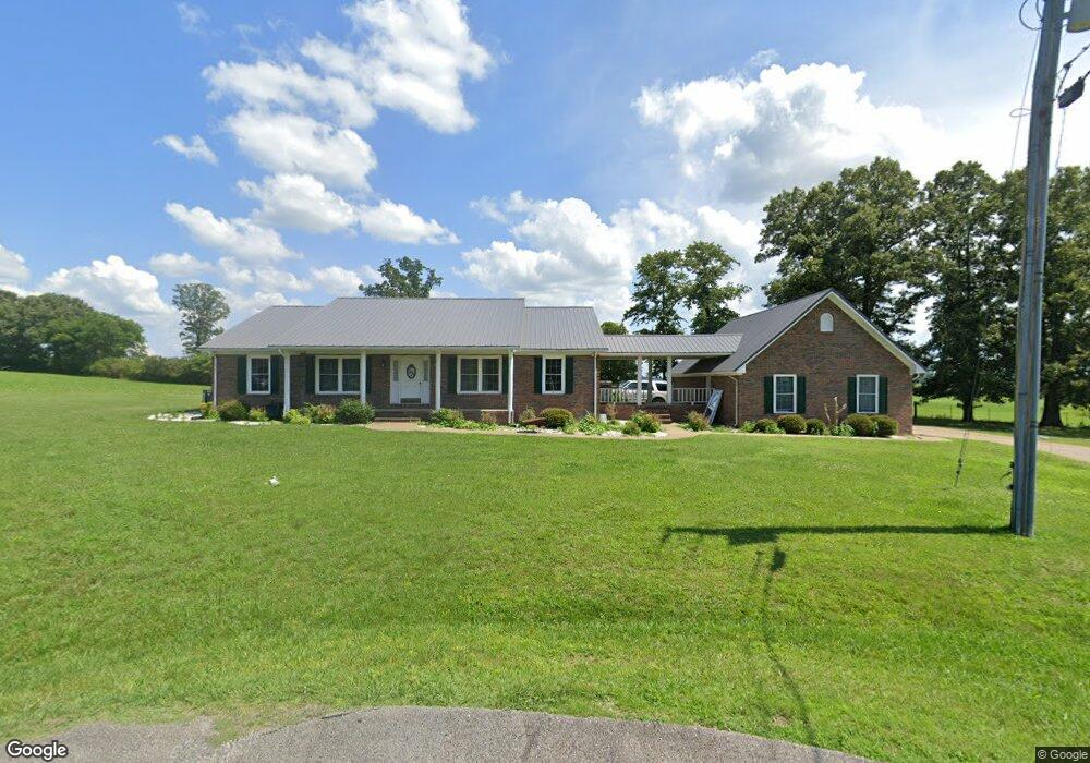
790 Michael Terrace Lawrenceburg, TN 38464
Estimated Value: $352,485 - $429,000
--
Bed
2
Baths
2,745
Sq Ft
$141/Sq Ft
Est. Value
About This Home
This home is located at 790 Michael Terrace, Lawrenceburg, TN 38464 and is currently estimated at $388,121, approximately $141 per square foot. 790 Michael Terrace is a home located in Lawrence County with nearby schools including Ingram Sowell Elementary School, Lawrenceburg Public Elementary School, and David Crockett Elementary School.
Ownership History
Date
Name
Owned For
Owner Type
Purchase Details
Closed on
Jan 11, 2007
Bought by
Walker William F and Walker April Ann
Current Estimated Value
Purchase Details
Closed on
Mar 17, 2006
Sold by
Mcmackins Robert F
Bought by
Walker Willia F
Purchase Details
Closed on
Jan 30, 2004
Bought by
Watson William M and Mcmackins Alice L %Robert
Purchase Details
Closed on
May 21, 1985
Bought by
Watson William M and Wife Alice L
Create a Home Valuation Report for This Property
The Home Valuation Report is an in-depth analysis detailing your home's value as well as a comparison with similar homes in the area
Home Values in the Area
Average Home Value in this Area
Purchase History
| Date | Buyer | Sale Price | Title Company |
|---|---|---|---|
| Walker William F | $185,000 | -- | |
| Walker Willia F | $185,000 | -- | |
| Watson William M | $149,500 | -- | |
| Watson William M | -- | -- |
Source: Public Records
Tax History Compared to Growth
Tax History
| Year | Tax Paid | Tax Assessment Tax Assessment Total Assessment is a certain percentage of the fair market value that is determined by local assessors to be the total taxable value of land and additions on the property. | Land | Improvement |
|---|---|---|---|---|
| 2025 | $1,498 | $74,525 | $0 | $0 |
| 2024 | $1,498 | $74,525 | $6,500 | $68,025 |
| 2023 | $1,498 | $74,525 | $6,500 | $68,025 |
| 2022 | $1,498 | $74,525 | $6,500 | $68,025 |
| 2021 | $1,317 | $44,525 | $2,950 | $41,575 |
| 2020 | $1,317 | $44,525 | $2,950 | $41,575 |
| 2019 | $1,317 | $44,525 | $2,950 | $41,575 |
| 2018 | $1,317 | $44,525 | $2,950 | $41,575 |
| 2017 | $1,317 | $44,525 | $2,950 | $41,575 |
| 2016 | $1,317 | $44,525 | $2,950 | $41,575 |
| 2015 | $1,219 | $44,525 | $2,950 | $41,575 |
| 2014 | $1,144 | $41,775 | $2,125 | $39,650 |
Source: Public Records
Map
Nearby Homes
- 114 Hummingbird Ln
- 132 Sundance Dr
- 52 Beuerlein Cir
- 31 Community Rd
- 14 Delana Ave
- 729 Weakley Creek Rd
- 970 9th St
- 975 Weakley Creek Rd
- 4000 Weakley Creek Rd
- 4951 Weakley Creek Rd
- 111 Grandview Dr
- 1050 Baylee Cir
- 801 Douglas Dr
- 1280 E Gaines St
- 2600 Clanton Rd
- 1303 5th Ave
- 0 Woodland Cir Unit RTC3033314
- 48 Woodland Cir
- 1083 Mattox Town Rd
- 206 State Ave
- 790 Michael Terrace
- 792 Michael Terrace
- 796 Michael Terrace
- 1619 Lance Dr
- 1621 Lance Dr
- 1658 Lance Dr
- 1550 Branch Dr
- 1620 Lance Dr
- 1560 Branch Dr
- 1656 Lance Dr
- 1565 Branch Dr
- 1699 Lance Dr
- 2120 Stacy Ln
- 1575 Branch Dr
- 2136 Stacy Ln
- 1751 Lance Dr
- 2140 Stacy Ln
- 1585 Branch Dr
- 1580 Branch Dr
- 1710 Lance Dr