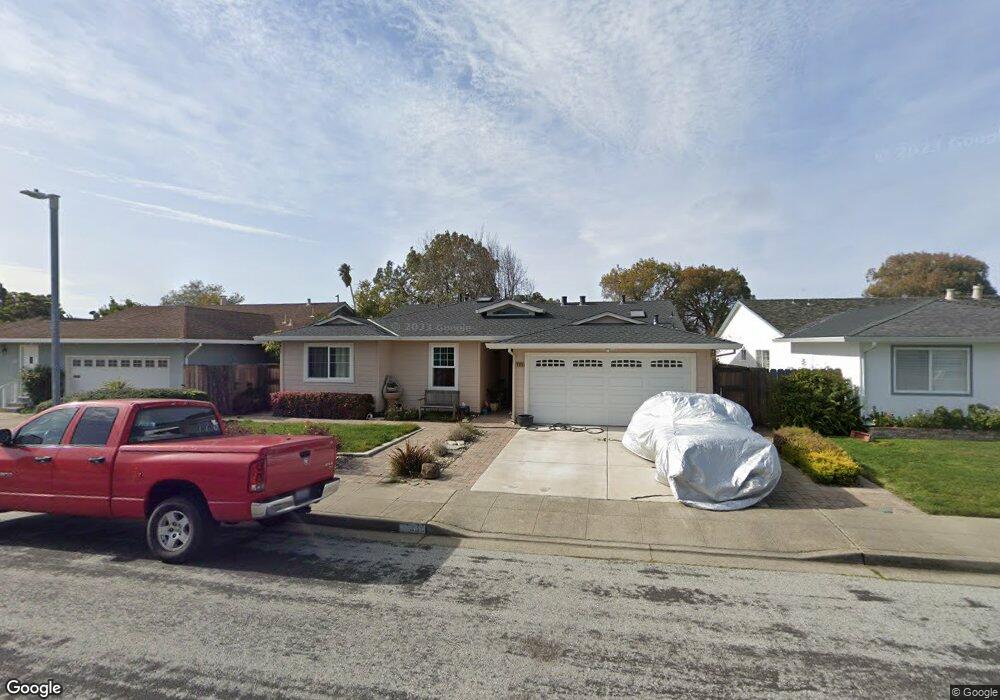
790 Niantic Dr Foster City, CA 94404
Treasure Isle NeighborhoodEstimated Value: $1,937,506 - $2,148,000
3
Beds
2
Baths
1,887
Sq Ft
$1,064/Sq Ft
Est. Value
About This Home
This home is located at 790 Niantic Dr, Foster City, CA 94404 and is currently estimated at $2,008,377, approximately $1,064 per square foot. 790 Niantic Dr is a home located in San Mateo County with nearby schools including Brewer Island Elementary School, Bowditch Middle School, and San Mateo High School.
Ownership History
Date
Name
Owned For
Owner Type
Purchase Details
Closed on
Jan 25, 2003
Sold by
Cossins Jeffrey R and Cossins Mindy L
Bought by
Cossins Jeffrey R and Cossins Mindy L
Current Estimated Value
Purchase Details
Closed on
Jan 28, 1999
Sold by
Cossins Robert R and Cossins Susan G
Bought by
Cossins Jeffrey R and Cossins Mindy L
Home Financials for this Owner
Home Financials are based on the most recent Mortgage that was taken out on this home.
Original Mortgage
$228,100
Interest Rate
6.63%
Purchase Details
Closed on
Sep 30, 1994
Sold by
Cossins Robert R and Cossins Susan G
Bought by
Cossins Robert R and Cossins Susan G
Create a Home Valuation Report for This Property
The Home Valuation Report is an in-depth analysis detailing your home's value as well as a comparison with similar homes in the area
Home Values in the Area
Average Home Value in this Area
Purchase History
| Date | Buyer | Sale Price | Title Company |
|---|---|---|---|
| Cossins Jeffrey R | -- | -- | |
| Cossins Jeffrey R | $338,500 | First American Title Co | |
| Cossins Robert R | -- | -- | |
| Cossins Robert R | -- | -- |
Source: Public Records
Mortgage History
| Date | Status | Borrower | Loan Amount |
|---|---|---|---|
| Previous Owner | Cossins Jeffrey R | $228,100 |
Source: Public Records
Tax History Compared to Growth
Tax History
| Year | Tax Paid | Tax Assessment Tax Assessment Total Assessment is a certain percentage of the fair market value that is determined by local assessors to be the total taxable value of land and additions on the property. | Land | Improvement |
|---|---|---|---|---|
| 2025 | $2,783 | $208,479 | $29,398 | $179,081 |
| 2023 | $2,783 | $200,386 | $28,257 | $172,129 |
| 2022 | $2,672 | $196,458 | $27,703 | $168,755 |
| 2021 | $2,626 | $192,607 | $27,160 | $165,447 |
| 2020 | $2,556 | $190,634 | $26,882 | $163,752 |
| 2019 | $2,447 | $186,897 | $26,355 | $160,542 |
| 2018 | $2,170 | $183,234 | $25,839 | $157,395 |
| 2017 | $2,145 | $179,643 | $25,333 | $154,310 |
| 2016 | $2,299 | $176,122 | $24,837 | $151,285 |
| 2015 | $2,244 | $173,478 | $24,464 | $149,014 |
| 2014 | $2,187 | $170,081 | $23,985 | $146,096 |
Source: Public Records
Map
Nearby Homes
- 650 Pilgrim Dr
- 1074 Eagle Ln
- 1336 Marlin Ave
- 1351 Marlin Ave
- 3206 Admiralty Ln
- 1102 Admiralty Ln
- 224 Loon Ct
- 748 Gull Ave
- 591 Pilgrim Dr
- 708 Thayer Ln Unit 404
- 769 Eppleton Ln Unit 302
- 1028 Foster Square Ln Unit 305
- 241 Bonita Ln
- 708 Eppleton Ln Unit 204
- 718 Eppleton Ln Unit 303
- 275 Puffin Ct
- 926 Lido Ln
- 1018 Lido Ln
- 825 Cortez Ln
- 822 Magellan Ln
- 786 Niantic Dr
- 796 Niantic Dr
- 778 Niantic Dr
- 793 Niantic Dr
- 789 Niantic Dr
- 795 Niantic Dr
- 783 Niantic Dr
- 774 Niantic Dr
- 1174 Polynesia Dr
- 1178 Polynesia Dr
- 777 Niantic Dr
- 1170 Polynesia Dr
- 1184 Polynesia Dr
- 770 Niantic Dr
- 786 Lurline Dr
- 784 Lurline Dr
- 788 Lurline Dr
- 773 Niantic Dr
- 780 Lurline Dr
- 1192 Polynesia Dr