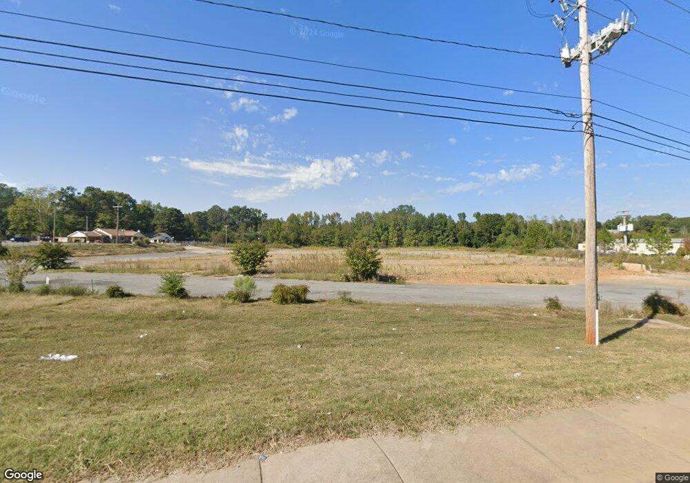
7900 Colonel Glenn Rd Little Rock, AR 72204
John Barrow NeighborhoodEstimated Value: $1,057,861
--
Bed
--
Bath
54,855
Sq Ft
$19/Sq Ft
Est. Value
About This Home
This home is located at 7900 Colonel Glenn Rd, Little Rock, AR 72204 and is currently estimated at $1,057,861, approximately $19 per square foot. 7900 Colonel Glenn Rd is a home located in Pulaski County with nearby schools including Western Hills Elementary School, J.A. Fair K8 Preparatory School, and Henderson Middle School.
Ownership History
Date
Name
Owned For
Owner Type
Purchase Details
Closed on
Feb 24, 1998
Sold by
Milk Products Llc
Bought by
Oxford Properties Llc
Current Estimated Value
Home Financials for this Owner
Home Financials are based on the most recent Mortgage that was taken out on this home.
Original Mortgage
$155,000
Interest Rate
9%
Mortgage Type
Purchase Money Mortgage
Purchase Details
Closed on
Sep 3, 1997
Sold by
Borden Meadow Gold Dairies Inc
Bought by
Milk Products Llc
Create a Home Valuation Report for This Property
The Home Valuation Report is an in-depth analysis detailing your home's value as well as a comparison with similar homes in the area
Home Values in the Area
Average Home Value in this Area
Purchase History
| Date | Buyer | Sale Price | Title Company |
|---|---|---|---|
| Oxford Properties Llc | $150,000 | -- | |
| Milk Products Llc | $150,000 | -- |
Source: Public Records
Mortgage History
| Date | Status | Borrower | Loan Amount |
|---|---|---|---|
| Closed | Oxford Properties Llc | $155,000 |
Source: Public Records
Tax History Compared to Growth
Tax History
| Year | Tax Paid | Tax Assessment Tax Assessment Total Assessment is a certain percentage of the fair market value that is determined by local assessors to be the total taxable value of land and additions on the property. | Land | Improvement |
|---|---|---|---|---|
| 2025 | $6,111 | $87,303 | $87,303 | -- |
| 2024 | $6,111 | $87,303 | $87,303 | -- |
| 2023 | $6,111 | $87,303 | $87,303 | $0 |
| 2022 | $12,560 | $179,432 | $87,303 | $92,129 |
| 2021 | $6,327 | $179,890 | $76,710 | $103,180 |
| 2020 | $5,864 | $179,890 | $76,710 | $103,180 |
| 2019 | $5,445 | $179,890 | $76,710 | $103,180 |
| 2018 | $5,026 | $179,890 | $76,710 | $103,180 |
| 2017 | $4,608 | $179,890 | $76,710 | $103,180 |
| 2016 | $4,189 | $209,330 | $122,730 | $86,600 |
| 2015 | $3,915 | $122,730 | $122,730 | $0 |
| 2014 | $3,915 | $122,730 | $122,730 | $0 |
Source: Public Records
Map
Nearby Homes
- 7707 W 45th St
- 0000 Stannus St
- 8219 W 39th St
- 4705 Elmwood Dr
- 000 Potter St
- 3613 Boyd St
- 8414 W 36th St
- 4814 Manor Ave
- 8200 W 34th St
- 8307 Ascension Rd
- 3215 Katherine St
- 3316 Zion St
- 3224 Wynne St
- 4500 Ludwig St
- 803 Oak Park Dr
- 3214 Zion St
- 4110 Malloy St
- 4020 Malloy St
- 4412 Malloy St
- 4623 Malloy St