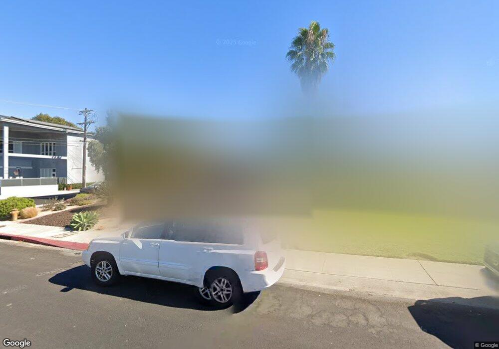
7900 Flight Ave Los Angeles, CA 90045
Westchester NeighborhoodEstimated Value: $1,266,000 - $1,636,000
About This Home
This home is located at 7900 Flight Ave, Los Angeles, CA 90045 and is currently estimated at $1,410,350, approximately $859 per square foot. 7900 Flight Ave is a home located in Los Angeles County with nearby schools including Westport Heights Elementary, Wright Middle School STEAM Magnet, and Westchester Enriched Sciences Magnets.
Ownership History
We collect this data history from publicly available records. To have your information removed, we recommend requesting removal directly through your county’s website.
Purchase Details
Purchase Details
Home Financials for this Owner
Home Financials are based on the most recent Mortgage that was taken out on this home.Purchase Details
Home Financials for this Owner
Home Financials are based on the most recent Mortgage that was taken out on this home.Home Values in the Area
Average Home Value in this Area
Purchase History
We collect this data history from publicly available records. To have your information removed, we recommend requesting removal directly through your county’s website.
| Date | Buyer | Sale Price | Title Company |
|---|---|---|---|
| -- | None Listed On Document | ||
| -- | None Listed On Document | ||
| $545,000 | Fidelity National Title Co | ||
| $245,000 | Equity Title |
Mortgage History
We collect this data history from publicly available records. To have your information removed, we recommend requesting removal directly through your county’s website.
| Date | Status | Borrower | Loan Amount |
|---|---|---|---|
| Previous Owner | $436,000 | ||
| Previous Owner | $183,750 | ||
| Closed | $81,750 |
Tax History
We collect this data history from publicly available records. To have your information removed, we recommend requesting removal directly through your county’s website.
| Year | Tax Paid | Tax Assessment Tax Assessment Total Assessment is a certain percentage of the fair market value that is determined by local assessors to be the total taxable value of land and additions on the property. | Land | Improvement |
|---|---|---|---|---|
| 2025 | $9,379 | $774,995 | $620,031 | $154,964 |
| 2024 | $9,273 | $759,800 | $607,874 | $151,926 |
| 2023 | $9,095 | $744,903 | $595,955 | $148,948 |
| 2022 | $8,675 | $730,298 | $584,270 | $146,028 |
| 2021 | $8,564 | $715,979 | $572,814 | $143,165 |
| 2019 | $8,307 | $694,745 | $555,825 | $138,920 |
| 2018 | $8,225 | $681,124 | $544,927 | $136,197 |
Map
- 8331 Kittyhawk Ave
- 8309 Barnsley Ave
- 8324 Barnsley Ave
- 8418 Belford Ave
- 8430 Wiley Post Ave
- 5824 Compass Dr
- 7881 Airlane Ave
- 5900 W 85th Place
- 5956 W 85th Place
- 8421 Airlane Ave
- 8130 Grimsby Ave
- 7870 Truxton Ave
- 8620 Belford Ave Unit 106
- 5571 W 82nd St
- 8650 Belford Ave Unit 119A
- 7907 Vicksburg Ave
- 6200 W 77th St
- 5567 W 79th St
- 6058 W 76th St
- 8831 Glider Ave
- 7906 Flight Ave
- 7912 Flight Ave
- 7916 Flight Ave
- 7901 Flight Ave
- 7907 Flight Ave
- 7911 Flight Ave
- 7922 Flight Ave
- 7926 Flight Ave
- 7921 Flight Ave
- 7900 Flight Place
- 7906 Flight Place
- 8205 Kittyhawk Ave
- 5935 W 79th St
- 7910 Flight Place
- 7932 Flight Ave
- 7918 Flight Place
- 7922 Flight Place
- 8203 Kittyhawk Ave
- 7934 Flight Ave Unit 7934
- 8209 Kittyhawk Ave
Ask me questions while you tour the home.