7900 Texas Canyon Rd E Placerville, CA 95667
Estimated Value: $594,000 - $750,000
3
Beds
2
Baths
1,973
Sq Ft
$327/Sq Ft
Est. Value
About This Home
This home is located at 7900 Texas Canyon Rd E, Placerville, CA 95667 and is currently estimated at $644,827, approximately $326 per square foot. 7900 Texas Canyon Rd E is a home located in El Dorado County with nearby schools including Georgetown Elementary School and Golden Sierra Junior Senior High.
Ownership History
Date
Name
Owned For
Owner Type
Purchase Details
Closed on
Mar 28, 2002
Sold by
Marzec Richard T
Bought by
Perez Luis David and Perez Susan M
Current Estimated Value
Home Financials for this Owner
Home Financials are based on the most recent Mortgage that was taken out on this home.
Original Mortgage
$184,000
Outstanding Balance
$76,440
Interest Rate
6.84%
Estimated Equity
$568,387
Create a Home Valuation Report for This Property
The Home Valuation Report is an in-depth analysis detailing your home's value as well as a comparison with similar homes in the area
Home Values in the Area
Average Home Value in this Area
Purchase History
| Date | Buyer | Sale Price | Title Company |
|---|---|---|---|
| Perez Luis David | $275,000 | Inter County Title Co |
Source: Public Records
Mortgage History
| Date | Status | Borrower | Loan Amount |
|---|---|---|---|
| Open | Perez Luis David | $184,000 |
Source: Public Records
Tax History
| Year | Tax Paid | Tax Assessment Tax Assessment Total Assessment is a certain percentage of the fair market value that is determined by local assessors to be the total taxable value of land and additions on the property. | Land | Improvement |
|---|---|---|---|---|
| 2025 | $4,282 | $406,228 | $125,554 | $280,674 |
| 2024 | $4,282 | $398,264 | $123,093 | $275,171 |
| 2023 | $4,198 | $390,456 | $120,680 | $269,776 |
| 2022 | $4,133 | $382,801 | $118,314 | $264,487 |
| 2021 | $4,047 | $375,296 | $115,995 | $259,301 |
| 2020 | $4,012 | $371,449 | $114,806 | $256,643 |
| 2019 | $3,940 | $364,166 | $112,555 | $251,611 |
| 2018 | $3,825 | $357,027 | $110,349 | $246,678 |
| 2017 | $3,701 | $345,000 | $106,500 | $238,500 |
| 2016 | $3,814 | $330,000 | $102,000 | $228,000 |
| 2015 | $3,499 | $301,500 | $93,000 | $208,500 |
| 2014 | $3,499 | $301,500 | $93,000 | $208,500 |
Source: Public Records
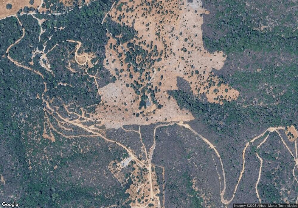
Map
Nearby Homes
- 6741 Big Sandy Ln
- 9220 Mule Skinner Rd
- 9803 State Highway 193
- 0 Holland Dr Unit 226014695
- 6545 Kelsey Rd
- 6533 Shoo Fly Rd
- 9620 State Highway 193
- 7155 Stewart Mine Rd
- 7411 Riverbend Dr
- 1495 Miners Spring Rd
- 9461 State Highway 193 Unit 26
- 2000 Bear Rock Rd
- 10180 Rock Creek Rd
- 2095 Wild Goose Canyon Rd
- 4717 Lobo Trail
- 1110 Madrone Ln
- 6421 Garden Valley Rd
- 9001 Riverwood Dr
- 1049 Kimi Way
- 3000 Gravel Ct
- 7820 Texas Canyon Rd E
- 7879 Texas Canyon Rd
- 7000 Shoo Fly Rd
- 7740 Texas Canyon Rd
- 10101 State Highway 193
- 10180 State Highway 193
- 10180 State Highway 193
- 6850 Shoo Fly Rd
- 0 Texas Canyon Rd Unit 16041295
- 0 Texas Canyon Rd Unit 16068221
- 0 Texas Canyon Rd Unit 17033099
- 0 Texas Canyon Rd Unit 50014399
- 6831 Shoo Fly Rd
- 7600 Texas Canyon Rd E
- 9970 State Highway 193
- 10021 State Highway 193
- 9950 State Highway 193
- 9981 State Highway 193
- 6761 Shoo Fly Rd
- 6700 Big Sandy Ln
Your Personal Tour Guide
Ask me questions while you tour the home.