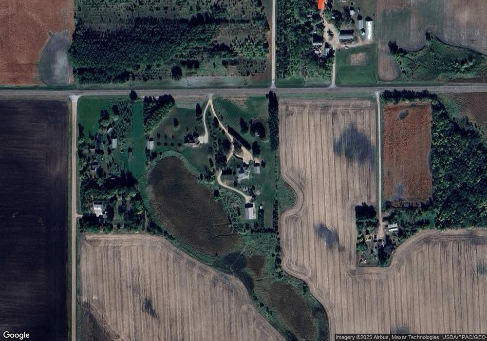
7901 155th St Glencoe, MN 55336
Estimated Value: $330,000 - $578,032
3
Beds
3
Baths
2,554
Sq Ft
$181/Sq Ft
Est. Value
About This Home
This home is located at 7901 155th St, Glencoe, MN 55336 and is currently estimated at $461,011, approximately $180 per square foot. 7901 155th St is a home located in McLeod County with nearby schools including Lincoln Elementary School, Lakeside Elementary School, and Glencoe-Silver Lake Jr. High School.
Ownership History
Date
Name
Owned For
Owner Type
Purchase Details
Closed on
Oct 18, 2016
Sold by
Zerwas Larry Larry
Bought by
Gueningsman Mark Mark
Current Estimated Value
Home Financials for this Owner
Home Financials are based on the most recent Mortgage that was taken out on this home.
Original Mortgage
$272,000
Outstanding Balance
$214,586
Interest Rate
3.47%
Estimated Equity
$246,425
Create a Home Valuation Report for This Property
The Home Valuation Report is an in-depth analysis detailing your home's value as well as a comparison with similar homes in the area
Purchase History
| Date | Buyer | Sale Price | Title Company |
|---|---|---|---|
| Gueningsman Mark Mark | $340,000 | -- |
Source: Public Records
Mortgage History
| Date | Status | Borrower | Loan Amount |
|---|---|---|---|
| Open | Gueningsman Mark Mark | $272,000 |
Source: Public Records
Tax History
| Year | Tax Paid | Tax Assessment Tax Assessment Total Assessment is a certain percentage of the fair market value that is determined by local assessors to be the total taxable value of land and additions on the property. | Land | Improvement |
|---|---|---|---|---|
| 2025 | $3,966 | $524,600 | $166,100 | $358,500 |
| 2024 | $3,884 | $509,600 | $151,100 | $358,500 |
| 2023 | $3,884 | $505,200 | $151,100 | $354,100 |
| 2022 | $3,116 | $504,000 | $151,100 | $352,900 |
| 2021 | $3,148 | $330,600 | $105,300 | $225,300 |
| 2020 | $3,146 | $330,600 | $105,300 | $225,300 |
| 2019 | $2,926 | $321,800 | $95,700 | $226,100 |
| 2018 | $2,722 | $0 | $0 | $0 |
| 2017 | $2,360 | $0 | $0 | $0 |
| 2016 | $2,186 | $0 | $0 | $0 |
| 2015 | $1,834 | $0 | $0 | $0 |
| 2014 | -- | $0 | $0 | $0 |
Source: Public Records
Map
Nearby Homes
- 401 20th St W
- 1610 Knight Ave N
- 10703 187th St
- 1606 Greeley Ave N
- 1513 Armstrong Ave N
- 1512 Ranger Dr N
- 1515 Ranger Dr
- 2600 14th St E
- 1519 Ranger Dr N
- 1423 Prairie Ave
- 1523 Ranger Dr N
- 1412 Elsie Dr N
- 1028 13th St E
- 1801 Pryor Ave N
- 1227 11th St E
- 211 Century Ln
- 526 8th St E
- 316 Lake Ave N
- 707 Ford Ave N
- XXXX Route 7
Your Personal Tour Guide
Ask me questions while you tour the home.