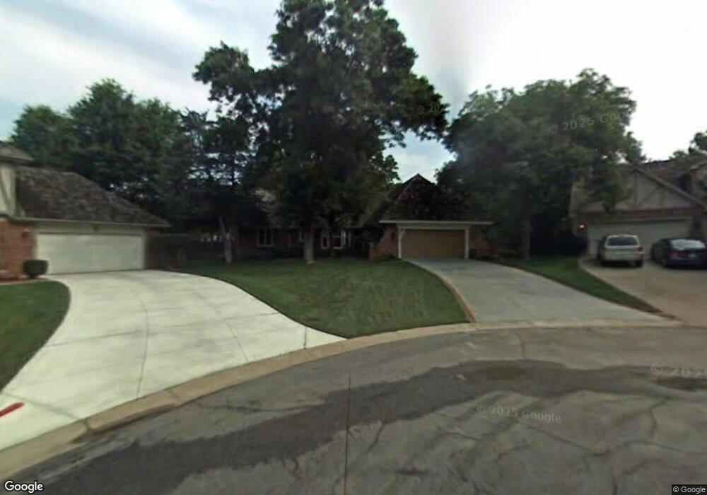
7902 Westgate Dr Lenexa, KS 66215
Estimated Value: $443,223 - $476,000
4
Beds
3
Baths
2,449
Sq Ft
$186/Sq Ft
Est. Value
About This Home
This home is located at 7902 Westgate Dr, Lenexa, KS 66215 and is currently estimated at $455,556, approximately $186 per square foot. 7902 Westgate Dr is a home located in Johnson County with nearby schools including Mill Creek Elementary School, Trailridge Middle School, and Shawnee Mission Northwest High School.
Ownership History
Date
Name
Owned For
Owner Type
Purchase Details
Closed on
Oct 8, 2002
Sold by
Raffety Marilyn S and Stowers David T
Bought by
Stowers David T and Stowers Marilyn S
Current Estimated Value
Home Financials for this Owner
Home Financials are based on the most recent Mortgage that was taken out on this home.
Original Mortgage
$125,600
Interest Rate
6.2%
Create a Home Valuation Report for This Property
The Home Valuation Report is an in-depth analysis detailing your home's value as well as a comparison with similar homes in the area
Home Values in the Area
Average Home Value in this Area
Purchase History
| Date | Buyer | Sale Price | Title Company |
|---|---|---|---|
| Stowers David T | -- | Gold Title Agency Llc |
Source: Public Records
Mortgage History
| Date | Status | Borrower | Loan Amount |
|---|---|---|---|
| Closed | Stowers David T | $125,600 |
Source: Public Records
Tax History
| Year | Tax Paid | Tax Assessment Tax Assessment Total Assessment is a certain percentage of the fair market value that is determined by local assessors to be the total taxable value of land and additions on the property. | Land | Improvement |
|---|---|---|---|---|
| 2025 | $4,995 | $46,012 | $8,547 | $37,465 |
| 2024 | $4,995 | $45,149 | $7,773 | $37,376 |
| 2023 | $4,949 | $43,965 | $7,406 | $36,559 |
| 2022 | $4,546 | $40,354 | $6,731 | $33,623 |
| 2021 | $3,986 | $33,545 | $6,121 | $27,424 |
| 2020 | $3,860 | $32,154 | $6,121 | $26,033 |
| 2019 | $3,692 | $30,728 | $5,106 | $25,622 |
| 2018 | $3,785 | $31,246 | $5,106 | $26,140 |
| 2017 | $3,496 | $27,945 | $4,640 | $23,305 |
| 2016 | $3,461 | $27,324 | $4,442 | $22,882 |
| 2015 | $3,240 | $25,737 | $4,442 | $21,295 |
| 2013 | -- | $23,195 | $4,442 | $18,753 |
Source: Public Records
Map
Nearby Homes
- 12212 W 79th Terrace
- 12201 W 79th Terrace
- 13001 W 78th Terrace
- 7920 Gillette St
- 8058 Colony Ln
- 13408 W 78th Terrace
- 13403 W 78th Place
- 12100 W 82nd Terrace
- 7908 Park St
- 13212 W 84th St
- 12908 W 84th St
- 7330 Long Ave
- 12525 W 85th Terrace
- 13204 W 85th Ct
- 12310 W 73rd Terrace
- 8545 Westgate St
- 7212 Richards Dr
- 13105 W 72nd St
- 12811 W 71st St
- 7105 Richards Dr
- 7906 Westgate Dr
- 7905 Westgate Dr
- 7903 Rosehill Rd
- 12702 W 79th St
- 7910 Westgate Dr
- 7909 Westgate Dr
- 7907 Rosehill Rd
- 7826 Westgate Dr
- 7900 Westgate Ct
- 7913 Westgate Dr
- 7911 Rosehill Rd
- 7853 Rosehill Rd
- 7914 Westgate Dr
- 7904 Westgate Ct
- 7822 Westgate Dr
- 7908 Westgate Ct
- 7915 Rosehill Rd
- 7920 Westgate Dr
- 7845 Rosehill Rd
- 7912 Westgate Ct
Your Personal Tour Guide
Ask me questions while you tour the home.