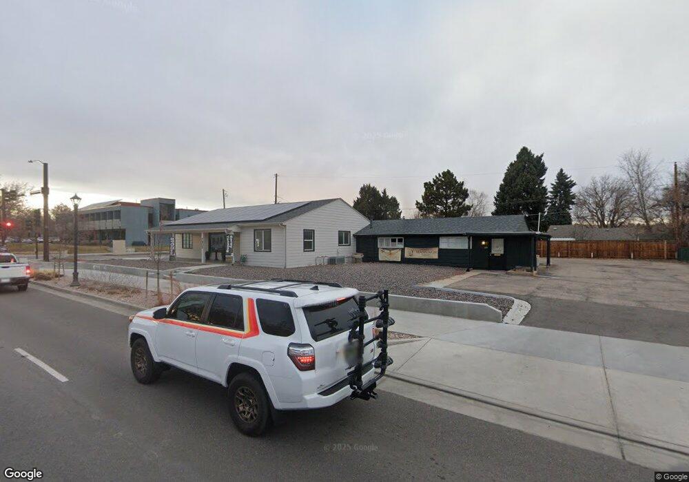
7905 Ralston Rd Arvada, CO 80002
Olde Town Arvada NeighborhoodEstimated Value: $797,460
--
Bed
--
Bath
3,325
Sq Ft
$240/Sq Ft
Est. Value
About This Home
This home is located at 7905 Ralston Rd, Arvada, CO 80002 and is currently estimated at $797,460, approximately $239 per square foot. 7905 Ralston Rd is a home located in Jefferson County with nearby schools including Lawrence Elementary School, Arvada K-8, and North Arvada Middle School.
Ownership History
Date
Name
Owned For
Owner Type
Purchase Details
Closed on
Aug 26, 2021
Sold by
C & A Group Llc
Bought by
City Of Arvada
Current Estimated Value
Purchase Details
Closed on
Jan 2, 2014
Sold by
Brandt Deloris H and Brandt Gary E
Bought by
C & A Group Llc
Home Financials for this Owner
Home Financials are based on the most recent Mortgage that was taken out on this home.
Original Mortgage
$320,000
Interest Rate
4.34%
Mortgage Type
Commercial
Purchase Details
Closed on
May 12, 1997
Sold by
Gibson Don E
Bought by
Brandt Deloris H and Brandt Gary E
Home Financials for this Owner
Home Financials are based on the most recent Mortgage that was taken out on this home.
Original Mortgage
$140,000
Interest Rate
9%
Mortgage Type
Seller Take Back
Create a Home Valuation Report for This Property
The Home Valuation Report is an in-depth analysis detailing your home's value as well as a comparison with similar homes in the area
Home Values in the Area
Average Home Value in this Area
Purchase History
| Date | Buyer | Sale Price | Title Company |
|---|---|---|---|
| City Of Arvada | -- | None Available | |
| C & A Group Llc | $342,500 | Fidelity National Title Ins | |
| Brandt Deloris H | $165,000 | -- |
Source: Public Records
Mortgage History
| Date | Status | Borrower | Loan Amount |
|---|---|---|---|
| Previous Owner | C & A Group Llc | $320,000 | |
| Previous Owner | Brandt Deloris H | $140,000 |
Source: Public Records
Tax History Compared to Growth
Tax History
| Year | Tax Paid | Tax Assessment Tax Assessment Total Assessment is a certain percentage of the fair market value that is determined by local assessors to be the total taxable value of land and additions on the property. | Land | Improvement |
|---|---|---|---|---|
| 2024 | $21,941 | $226,209 | $66,182 | $160,027 |
| 2023 | $21,941 | $226,209 | $66,182 | $160,027 |
| 2022 | $14,209 | $145,567 | $59,161 | $86,406 |
| 2021 | $14,209 | $146,839 | $60,433 | $86,406 |
| 2020 | $13,411 | $138,974 | $60,433 | $78,541 |
| 2019 | $13,230 | $138,974 | $60,433 | $78,541 |
| 2018 | $10,053 | $102,674 | $54,811 | $47,863 |
| 2017 | $9,203 | $102,674 | $54,811 | $47,863 |
| 2016 | $8,717 | $91,611 | $22,910 | $68,701 |
| 2015 | $15,459 | $91,611 | $22,910 | $68,701 |
| 2014 | $15,459 | $152,685 | $38,164 | $114,521 |
Source: Public Records
Map
Nearby Homes
- 7707 Ralston Rd
- 0000S Balsam St Unit 1
- 0000N Balsam St Unit 1
- 7931 W 55th Ave Unit 308
- 6009 Yarrow St Unit K
- 6007 Yarrow St Unit D
- 5465 Zephyr St Unit 201
- 5409 Zephyr Ct Unit 5409
- 5600 Dover St
- 5419 Allison St Unit G
- 6176 Ammons St
- 6055 Cody St
- 6164 Brentwood St
- 6150 Carr St
- 8680 Calvin Dr
- 7303 W 59th Ave
- 8237 W 54th Ave Unit 2
- 5396 Balsam St
- 5402 Carr St Unit 102
- 7011 Grandview Ave
- 7903 Ralston Rd
- 7980 Robinson Way
- 7950 Robinson Way
- 7940 Robinson Way
- 7900 Ralston Rd
- 7901 Ralston Rd
- 7900 Robinson Way
- 5721 Zephyr St
- 5718 Allison St
- 5727 Allison St
- 5719 Zephyr St
- 7806 Robinson Way
- 7955 Robinson Way
- 7981 Robinson Way
- 7815 Robinson Way
- 5716 Allison St
- 5717 Zephyr St
- 5723 Allison St
- 7805 Ralston Rd
- 7884 Ralston Rd