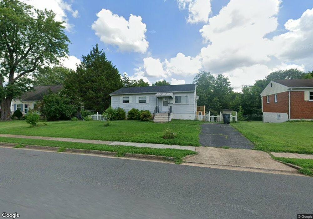
7907 Appomattox Ave Manassas, VA 20111
Estimated Value: $409,197 - $539,000
3
Beds
2
Baths
912
Sq Ft
$495/Sq Ft
Est. Value
About This Home
This home is located at 7907 Appomattox Ave, Manassas, VA 20111 and is currently estimated at $451,549, approximately $495 per square foot. 7907 Appomattox Ave is a home located in Prince William County with nearby schools including Loch Lomond Elementary School, Parkside Middle School, and Osbourn Park High School.
Ownership History
Date
Name
Owned For
Owner Type
Purchase Details
Closed on
May 17, 2024
Sold by
Viol Jennifer Corinne and Viol Harry V
Bought by
Viol Jennifer Corinne
Current Estimated Value
Home Financials for this Owner
Home Financials are based on the most recent Mortgage that was taken out on this home.
Original Mortgage
$40,000
Outstanding Balance
$39,439
Interest Rate
6.88%
Mortgage Type
Credit Line Revolving
Estimated Equity
$412,110
Purchase Details
Closed on
May 3, 2011
Sold by
Zagoric Edward L and Zagoric Betty
Bought by
Viol Harry V
Create a Home Valuation Report for This Property
The Home Valuation Report is an in-depth analysis detailing your home's value as well as a comparison with similar homes in the area
Home Values in the Area
Average Home Value in this Area
Purchase History
| Date | Buyer | Sale Price | Title Company |
|---|---|---|---|
| Viol Jennifer Corinne | $362,000 | Champion Title & Settlements | |
| Viol Harry V | -- | None Available |
Source: Public Records
Mortgage History
| Date | Status | Borrower | Loan Amount |
|---|---|---|---|
| Open | Viol Jennifer Corinne | $40,000 |
Source: Public Records
Tax History
| Year | Tax Paid | Tax Assessment Tax Assessment Total Assessment is a certain percentage of the fair market value that is determined by local assessors to be the total taxable value of land and additions on the property. | Land | Improvement |
|---|---|---|---|---|
| 2025 | $3,600 | $377,300 | $140,300 | $237,000 |
| 2024 | $3,600 | $362,000 | $129,900 | $232,100 |
| 2023 | $3,535 | $339,700 | $110,100 | $229,600 |
| 2022 | $3,578 | $323,100 | $110,100 | $213,000 |
| 2021 | $3,661 | $302,400 | $98,100 | $204,300 |
| 2020 | $4,329 | $279,300 | $98,100 | $181,200 |
| 2019 | $4,069 | $262,500 | $98,100 | $164,400 |
| 2018 | $3,014 | $249,600 | $98,100 | $151,500 |
| 2017 | $39 | $239,700 | $87,700 | $152,000 |
| 2016 | $39 | $213,500 | $87,700 | $125,800 |
| 2015 | $38 | $208,400 | $85,700 | $122,700 |
| 2014 | $38 | $174,700 | $70,400 | $104,300 |
Source: Public Records
Map
Nearby Homes
- 7817 Appomattox Ave
- 124 Baker St
- 7726 Amherst Dr
- 89 Meeker Ct
- 9503 Damascus Dr
- 9282 Bayberry Ave
- 9501 Westmoreland Ave
- 186 Lambert Dr
- 7555 Alleghany Rd
- 232 Cabbel Dr
- 9632 Lafayette Ave
- 8392 Shady Grove Cir
- 250 Manassas Dr
- 7711 Woodstock St
- 8341 Tillett Loop
- 8584 Liberia Ave
- 105 Kirby St
- 124 Polk Dr
- 9212 Landgreen St
- 8317 Sunset Dr
- 7909 Appomattox Ave
- 7905 Appomattox Ave
- 123 Baker St
- 7911 Appomattox Ave
- 7903 Appomattox Ave
- 121 Baker St
- 125 Baker St
- 119 Baker St
- 127 Baker St
- 7906 Appomattox Ave
- 7913 Appomattox Ave
- 7819 Appomattox Ave
- 7908 Appomattox Ave
- 117 Baker St
- 7902 Appomattox Ave
- 7910 Appomattox Ave
- 7820 Appomattox Ave
- 115 Baker St
- 7915 Appomattox Ave
- 131 Baker St
Your Personal Tour Guide
Ask me questions while you tour the home.