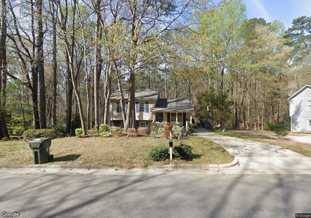
7907 Brandyapple Dr Raleigh, NC 27615
Six Forks NeighborhoodEstimated Value: $339,955 - $418,000
3
Beds
2
Baths
1,514
Sq Ft
$253/Sq Ft
Est. Value
About This Home
This home is located at 7907 Brandyapple Dr, Raleigh, NC 27615 and is currently estimated at $383,489, approximately $253 per square foot. 7907 Brandyapple Dr is a home located in Wake County with nearby schools including Pleasant Union Elementary School, West Millbrook Middle School, and Sanderson High School.
Ownership History
Date
Name
Owned For
Owner Type
Purchase Details
Closed on
Apr 29, 1999
Sold by
Varnhold Manfred G
Bought by
Holman Bennie Odell and Holman Susan Perras
Current Estimated Value
Home Financials for this Owner
Home Financials are based on the most recent Mortgage that was taken out on this home.
Original Mortgage
$112,475
Outstanding Balance
$29,110
Interest Rate
7.06%
Mortgage Type
FHA
Estimated Equity
$354,379
Create a Home Valuation Report for This Property
The Home Valuation Report is an in-depth analysis detailing your home's value as well as a comparison with similar homes in the area
Home Values in the Area
Average Home Value in this Area
Purchase History
| Date | Buyer | Sale Price | Title Company |
|---|---|---|---|
| Holman Bennie Odell | $120,000 | -- |
Source: Public Records
Mortgage History
| Date | Status | Borrower | Loan Amount |
|---|---|---|---|
| Open | Holman Bennie Odell | $112,475 |
Source: Public Records
Tax History
| Year | Tax Paid | Tax Assessment Tax Assessment Total Assessment is a certain percentage of the fair market value that is determined by local assessors to be the total taxable value of land and additions on the property. | Land | Improvement |
|---|---|---|---|---|
| 2025 | $2,674 | $304,320 | $175,000 | $129,320 |
| 2024 | $2,663 | $304,320 | $175,000 | $129,320 |
Source: Public Records
Map
Nearby Homes
- 320 Penn Oak Cir
- 7804 Brandyapple Dr
- 132 Yorkchester Way
- 705 Tanglebrook Way
- 721 Tan Tara Square
- 717 Tanglebrook Way
- 8015 Brown Bark Place
- 7739 Ohmann Ct
- 8004 Thrush Ridge Ln
- 206 Nouveau Ave
- 807 Swan Neck Ln
- 7918 Wood Cove Ct
- 8021 Thrush Ridge Ln
- 8031 Grey Oak Dr
- 512 Smokeridge Ln
- 110 Bon Marche Ln
- 7729 Bernadette Ln Unit 322B
- 804 Plentywood Ct
- 8119 Lloyd Allyns Way
- 800 Plentywood Ct
- 7909 Brandyapple Dr
- 7903 Brandyapple Dr
- 7904 Brandyapple Dr
- 7913 Brandyapple Dr
- 7901 Brandyapple Dr
- 7912 Brandyapple Dr Unit ID1059266P
- 7912 Brandyapple Dr Unit ID1048821P
- 7912 Brandyapple Dr
- 7900 Brandyapple Dr
- 7833 Brandyapple Dr
- 317 Penn Oak Cir
- 7917 Brandyapple Dr
- 316 Penn Oak Cir
- 313 Penn Oak Cir
- 7916 Brandyapple Dr
- 7921 Brandyapple Dr
- 7829 Brandyapple Dr
- 7836 Hemlock Ct
- 7825 Hemlock Ct
- 312 Penn Oak Cir
Your Personal Tour Guide
Ask me questions while you tour the home.