791 Manning Bridge Rd Suffolk, VA 23434
Holy Neck NeighborhoodEstimated Value: $338,136 - $378,000
3
Beds
2
Baths
1,384
Sq Ft
$262/Sq Ft
Est. Value
About This Home
This home is located at 791 Manning Bridge Rd, Suffolk, VA 23434 and is currently estimated at $362,784, approximately $262 per square foot. 791 Manning Bridge Rd is a home located in Suffolk City with nearby schools including Southwestern Elementary School, Forest Glen Middle School, and Lakeland High School.
Ownership History
Date
Name
Owned For
Owner Type
Purchase Details
Closed on
Mar 31, 2023
Sold by
Hallstead Land Llc
Bought by
Lakin Harold and Lakin Patricia
Current Estimated Value
Purchase Details
Closed on
Dec 23, 2014
Sold by
Gleason Harold and Gleason Kathy
Bought by
Gleason Harold and Gleason Kathy
Home Financials for this Owner
Home Financials are based on the most recent Mortgage that was taken out on this home.
Original Mortgage
$223,735
Interest Rate
4.02%
Mortgage Type
VA
Create a Home Valuation Report for This Property
The Home Valuation Report is an in-depth analysis detailing your home's value as well as a comparison with similar homes in the area
Home Values in the Area
Average Home Value in this Area
Purchase History
| Date | Buyer | Sale Price | Title Company |
|---|---|---|---|
| Lakin Harold | $462,265 | First American Title | |
| Gleason Harold | -- | -- |
Source: Public Records
Mortgage History
| Date | Status | Borrower | Loan Amount |
|---|---|---|---|
| Previous Owner | Gleason Harold | $223,735 |
Source: Public Records
Tax History Compared to Growth
Tax History
| Year | Tax Paid | Tax Assessment Tax Assessment Total Assessment is a certain percentage of the fair market value that is determined by local assessors to be the total taxable value of land and additions on the property. | Land | Improvement |
|---|---|---|---|---|
| 2024 | $450 | $305,000 | $86,700 | $218,300 |
| 2023 | $393 | $296,000 | $86,700 | $209,300 |
| 2022 | $2,878 | $264,000 | $86,700 | $177,300 |
| 2021 | $2,773 | $249,800 | $86,700 | $163,100 |
| 2020 | $2,648 | $238,600 | $86,700 | $151,900 |
| 2019 | $2,648 | $238,600 | $86,700 | $151,900 |
| 2018 | $135 | $223,700 | $72,300 | $151,400 |
| 2017 | $2,334 | $218,100 | $72,300 | $145,800 |
| 2016 | $2,274 | $212,500 | $72,300 | $140,200 |
| 2015 | $136 | $212,500 | $72,300 | $140,200 |
| 2014 | $136 | $212,500 | $72,300 | $140,200 |
Source: Public Records
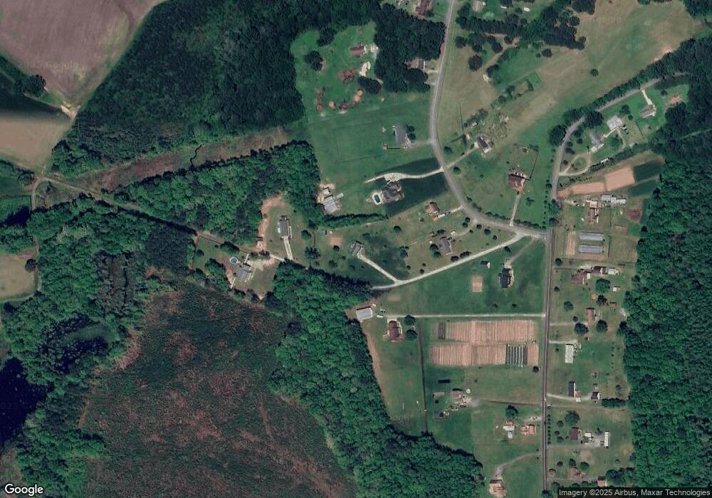
Map
Nearby Homes
- 2101 Manning Rd
- 2313 Manning Rd
- .51ac Holland Rd
- 138 Beechwood Dr
- 3240 Holland Rd
- 3316 Holland Rd
- 3320 Holland Rd
- 216 Tracy Dr
- 212 Tracy Dr
- 2028 Holland Rd
- 3999 Jackson Rd
- 2022 Holland Rd
- 113 Fairfield Ave
- 300 Lummis Rd
- 300 Lummis Rd Unit D
- 104 Springfield Terrace
- .26+AC Lummis Rd
- 404 Great Oak Ct
- 305 Autumn Cir
- 1925 Copeland Rd
- 771 Manning Bridge Rd
- 781 Manning Bridge Rd
- 1563 Manning Rd
- 789 Manning Bridge Rd
- 809 Manning Bridge Rd
- 765 Manning Bridge Rd
- 1543 Manning Rd
- 823 Manning Bridge Rd
- 778 Manning Bridge Rd
- 796 Manning Bridge Rd
- 1565 Manning Rd
- 130 Corcoran Ln
- 122 Corcoran Ln
- 113 Terry Ln
- 220 Peck Ln
- 222 Peck Ln
- 128 Corcoran Ln
- 134 Corcoran Ln
- 219 Peck Ln
- 217 Peck Ln