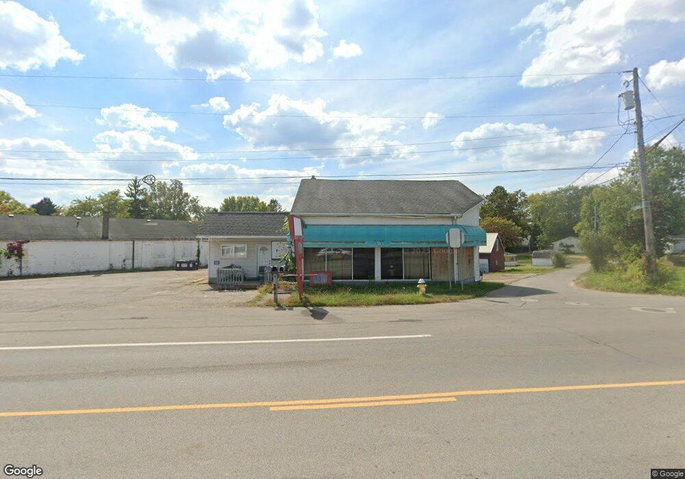
791 Springmill St Mansfield, OH 44903
Estimated Value: $76,734
Studio
--
Bath
5,632
Sq Ft
$14/Sq Ft
Est. Value
About This Home
This home is located at 791 Springmill St, Mansfield, OH 44903 and is currently estimated at $76,734, approximately $13 per square foot. 791 Springmill St is a home located in Richland County with nearby schools including Foundation Academy, Mansfield Elective Academy, and Interactive Media & Construction (IMAC) Academy.
Ownership History
Date
Name
Owned For
Owner Type
Purchase Details
Closed on
Sep 25, 2023
Sold by
Solis Ignacio Gaytan
Bought by
Three Sis Llc
Current Estimated Value
Purchase Details
Closed on
Feb 14, 2019
Sold by
Kovacs Rebecca M
Bought by
Solis Ignacio Gayton
Purchase Details
Closed on
Jul 15, 2014
Sold by
Wu Richard and Wu Becky
Bought by
Kovacs Rebecca M
Purchase Details
Closed on
Dec 13, 1999
Sold by
Reece Raymond J
Bought by
Wu Richard and Wu Becky
Purchase Details
Closed on
Jan 22, 1993
Sold by
Baker Donald E
Bought by
Reece Raymond J
Create a Home Valuation Report for This Property
The Home Valuation Report is an in-depth analysis detailing your home's value as well as a comparison with similar homes in the area
Home Values in the Area
Average Home Value in this Area
Purchase History
| Date | Buyer | Sale Price | Title Company |
|---|---|---|---|
| Three Sis Llc | -- | None Listed On Document | |
| Solis Ignacio Gayton | $40,000 | Hawkins Title Research | |
| Kovacs Rebecca M | $62,500 | Attorney | |
| Wu Richard | $48,000 | -- | |
| Reece Raymond J | -- | -- |
Source: Public Records
Tax History
| Year | Tax Paid | Tax Assessment Tax Assessment Total Assessment is a certain percentage of the fair market value that is determined by local assessors to be the total taxable value of land and additions on the property. | Land | Improvement |
|---|---|---|---|---|
| 2024 | $1,505 | $21,120 | $4,230 | $16,890 |
| 2023 | $1,501 | $21,120 | $4,230 | $16,890 |
| 2022 | $1,382 | $17,200 | $3,850 | $13,350 |
| 2021 | $1,388 | $17,200 | $3,850 | $13,350 |
| 2020 | $1,409 | $17,200 | $3,850 | $13,350 |
| 2019 | $1,687 | $19,680 | $3,850 | $15,830 |
| 2018 | $1,679 | $19,680 | $3,850 | $15,830 |
| 2017 | $884 | $19,680 | $3,850 | $15,830 |
| 2016 | $1,597 | $18,740 | $3,850 | $14,890 |
| 2015 | $1,534 | $18,740 | $3,850 | $14,890 |
| 2014 | $1,517 | $18,740 | $3,850 | $14,890 |
| 2012 | $1,452 | $18,740 | $3,850 | $14,890 |
Source: Public Records
Map
Nearby Homes
- 701 Springmill St
- 0 Highway 30
- 480 Mcpherson St
- 572 France St
- 492 Stark St
- 0 State Route 314 Unit 9069650
- 0 Voegele Ave Unit Lot 6048, 6049, 6
- 688 Mcpherson St
- 0 Lemley Ave Unit 9070540
- 362-364 W 6th St
- 524 Lida St
- 368 W 6th St
- 739 Armstrong St
- 230 Rae Ave
- 212 Penn Ave
- 580 N Mulberry St
- 118 Raymond Ave
- 641 Averill Ave
- 458 W West Dickson Ave
- 81 Penn Ave
Your Personal Tour Guide
Ask me questions while you tour the home.