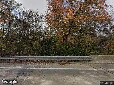
7911 State Route 127 Carlyle, IL 62231
Estimated Value: $126,000 - $193,000
4
Beds
1
Bath
1,624
Sq Ft
$100/Sq Ft
Est. Value
About This Home
This home is located at 7911 State Route 127, Carlyle, IL 62231 and is currently estimated at $161,942, approximately $99 per square foot. 7911 State Route 127 is a home located in Clinton County with nearby schools including Carlyle Elementary School, Carlyle Junior High School, and Carlyle High School.
Ownership History
Date
Name
Owned For
Owner Type
Purchase Details
Closed on
Oct 12, 2006
Sold by
Jordon Jeremiah W
Bought by
Jordon Jeremiah W and Jordon Amanda
Current Estimated Value
Home Financials for this Owner
Home Financials are based on the most recent Mortgage that was taken out on this home.
Original Mortgage
$16,500
Interest Rate
6.5%
Mortgage Type
Stand Alone Second
Create a Home Valuation Report for This Property
The Home Valuation Report is an in-depth analysis detailing your home's value as well as a comparison with similar homes in the area
Home Values in the Area
Average Home Value in this Area
Purchase History
| Date | Buyer | Sale Price | Title Company |
|---|---|---|---|
| Jordon Jeremiah W | -- | None Available |
Source: Public Records
Mortgage History
| Date | Status | Borrower | Loan Amount |
|---|---|---|---|
| Open | Jordan Jeremiah W | $50,000 | |
| Closed | Jordan Jeremiah W | $15,000 | |
| Closed | Jordan Jeremiah W | $120,000 | |
| Closed | Jordon Jeremiah W | $16,500 | |
| Closed | Jordon Jeremiah W | $88,000 |
Source: Public Records
Tax History Compared to Growth
Tax History
| Year | Tax Paid | Tax Assessment Tax Assessment Total Assessment is a certain percentage of the fair market value that is determined by local assessors to be the total taxable value of land and additions on the property. | Land | Improvement |
|---|---|---|---|---|
| 2023 | $2,139 | $41,100 | $4,500 | $36,600 |
| 2022 | $2,139 | $36,340 | $4,680 | $31,660 |
| 2021 | $1,813 | $34,940 | $4,500 | $30,440 |
| 2020 | $1,829 | $34,940 | $4,500 | $30,440 |
| 2019 | $1,810 | $34,940 | $4,500 | $30,440 |
| 2018 | $1,593 | $29,830 | $4,330 | $25,500 |
| 2017 | $1,613 | $29,830 | $4,330 | $25,500 |
| 2016 | $1,608 | $29,830 | $4,330 | $25,500 |
| 2015 | -- | $29,830 | $4,330 | $25,500 |
| 2013 | -- | $26,020 | $4,330 | $21,690 |
Source: Public Records
Map
Nearby Homes
- 6908 Bassen Rd
- 22000 East Rd
- 210 N Cherry St
- 1011 Franklin St
- 000 Magnolia Rd
- 1551 Fairfax St
- 1451 Jefferson St
- 830 Wayne St
- 900 Deer Circle Dr
- 16743 Ashland Ct
- 16731 Ashland Ct
- 1102 Cherry St
- 291 Old Us Hwy 50 E
- 403 Eagle Dr
- 620 N Main St
- 000 Sassafras Rd
- 000 Grand Point Rd
- 2 S Circle Dr
- 18445 Oak Dr
- 3 Lakeview Dr
- 7911 State Route 127
- 7993 State Route 127
- 7907 State Route 127
- 7996 State Route 127
- 7996 State Route 127
- 7996 State Route 127
- 7996 Illinois 127
- 203 Crocker Rd
- 215 Crocker Rd
- 200 Posey Rd
- 18731 State Route 161
- 219 Crocker Rd
- 214 Posey Rd
- 218 Posey Rd
- 305 Crocker Rd
- 7989 Posey Rd
- 222 Posey Rd
- 306 Kathy Ln
- 309 Crocker Rd
- 309 Crocker Rd
