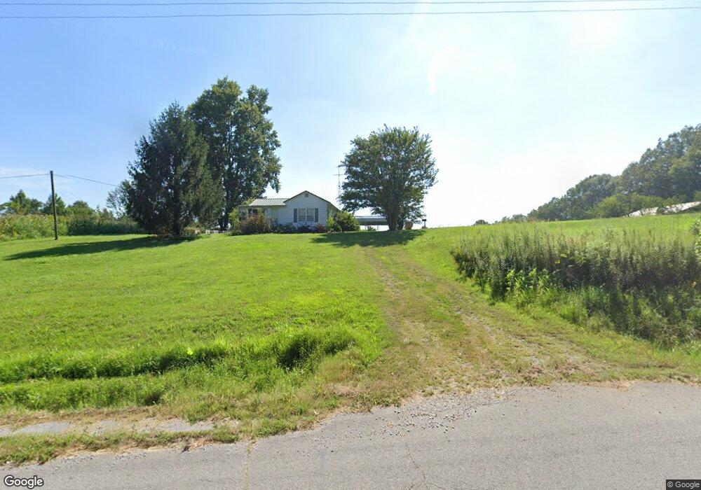
7911 State Route 256 Calhoun, KY 42327
Estimated Value: $99,365 - $171,000
--
Bed
1
Bath
624
Sq Ft
$230/Sq Ft
Est. Value
About This Home
This home is located at 7911 State Route 256, Calhoun, KY 42327 and is currently estimated at $143,788, approximately $230 per square foot. 7911 State Route 256 is a home located in McLean County with nearby schools including McLean County High School.
Create a Home Valuation Report for This Property
The Home Valuation Report is an in-depth analysis detailing your home's value as well as a comparison with similar homes in the area
Home Values in the Area
Average Home Value in this Area
Tax History Compared to Growth
Tax History
| Year | Tax Paid | Tax Assessment Tax Assessment Total Assessment is a certain percentage of the fair market value that is determined by local assessors to be the total taxable value of land and additions on the property. | Land | Improvement |
|---|---|---|---|---|
| 2024 | $636 | $56,500 | $14,000 | $42,500 |
| 2023 | $638 | $56,500 | $14,000 | $42,500 |
| 2022 | $636 | $56,500 | $14,000 | $42,500 |
| 2021 | $634 | $56,500 | $14,000 | $42,500 |
| 2020 | $600 | $56,500 | $14,000 | $42,500 |
| 2019 | $601 | $56,500 | $14,000 | $42,500 |
Source: Public Records
Map
Nearby Homes
- 1432 Kentucky 797
- 2000 Kentucky 797
- 8761 State Route 136 W
- 1404 Trailer
- 1404 Trailer Unit Road
- 806 Gravel Pit Rd
- 1741 Kentucky 1233
- 150 Highbanks Ferry Rd
- 930 Onton Rd
- 115 River Loop Rd
- 8 Parkview Cir
- 9 Parkview Cir
- 17541 Rangers Landing Rd
- 254 State Route 81 N
- 870 Main St
- 7540 Kentucky 136
- 325 4th St
- 12120 State Route 132 E
- 112 S State St
- 235 4th St
- 8200 State Route 256
- 7730 State Route 256
- 7300 State Route 256
- 256 Ky
- 8501 State Route 256
- 8501 State Route 256
- 926 State Route 1587
- 1587 Ky
- 1101 State Route 797
- 585 Denhart Ln
- 36 State Route 797
- 524 State Route 1587
- 951 State Route 1587
- 8810 State Route 256
- 1301 State Route 797
- 743 Lemon Rd
- 134 Denhart Ln
- 563 Lemon Rd