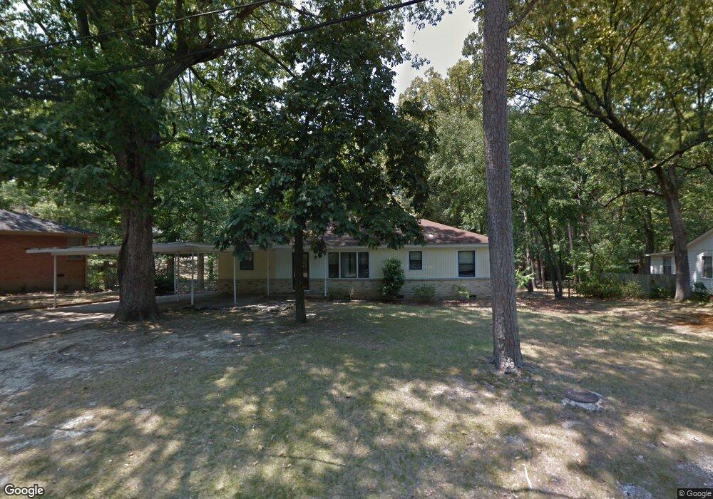
7912 Westwood Ave Little Rock, AR 72204
Westwood NeighborhoodEstimated Value: $115,271 - $156,000
--
Bed
1
Bath
1,628
Sq Ft
$84/Sq Ft
Est. Value
About This Home
This home is located at 7912 Westwood Ave, Little Rock, AR 72204 and is currently estimated at $136,818, approximately $84 per square foot. 7912 Westwood Ave is a home located in Pulaski County with nearby schools including Western Hills Elementary School, Cloverdale Middle School, and Little Rock Southwest High School.
Ownership History
Date
Name
Owned For
Owner Type
Purchase Details
Closed on
Aug 25, 2006
Sold by
Smith Barbara E and Montgomery Barbara E
Bought by
Perry Donald R and Perry Pamela
Current Estimated Value
Home Financials for this Owner
Home Financials are based on the most recent Mortgage that was taken out on this home.
Original Mortgage
$83,686
Interest Rate
6.39%
Mortgage Type
Purchase Money Mortgage
Create a Home Valuation Report for This Property
The Home Valuation Report is an in-depth analysis detailing your home's value as well as a comparison with similar homes in the area
Home Values in the Area
Average Home Value in this Area
Purchase History
| Date | Buyer | Sale Price | Title Company |
|---|---|---|---|
| Perry Donald R | $85,000 | Lenders Title Company |
Source: Public Records
Mortgage History
| Date | Status | Borrower | Loan Amount |
|---|---|---|---|
| Closed | Perry Donald R | $83,686 |
Source: Public Records
Tax History Compared to Growth
Tax History
| Year | Tax Paid | Tax Assessment Tax Assessment Total Assessment is a certain percentage of the fair market value that is determined by local assessors to be the total taxable value of land and additions on the property. | Land | Improvement |
|---|---|---|---|---|
| 2025 | $1,025 | $19,079 | $2,600 | $16,479 |
| 2024 | $1,025 | $19,079 | $2,600 | $16,479 |
| 2023 | $1,025 | $19,079 | $2,600 | $16,479 |
| 2022 | $1,025 | $19,079 | $2,600 | $16,479 |
| 2021 | $983 | $13,940 | $1,500 | $12,440 |
| 2020 | $601 | $13,940 | $1,500 | $12,440 |
| 2019 | $601 | $13,940 | $1,500 | $12,440 |
| 2018 | $626 | $13,940 | $1,500 | $12,440 |
| 2017 | $626 | $13,940 | $1,500 | $12,440 |
| 2016 | $852 | $17,170 | $3,200 | $13,970 |
| 2015 | $1,204 | $17,170 | $3,200 | $13,970 |
| 2014 | $1,204 | $17,170 | $3,200 | $13,970 |
Source: Public Records
Map
Nearby Homes
- 8012 Westwood Ave
- Lot 53 Block 5 Westwood Ave
- 8110 Ascension Rd
- 8307 Ascension Rd
- 5116 Nancy Ct
- TBD Cardinal Rd
- 4705 Elmwood Dr
- 8416 Westwood Ln
- 4814 Manor Ave
- 5 Westwood Ln
- 5813 Forest View Rd
- 4623 Malloy St
- 27 Westmont Cir
- 40 W Windsor Dr
- 4500 Ludwig St
- 5718 Forest View Rd
- 15 Ardmore Dr
- 0000 Stannus St
- 29 Rosewood Dr
- 1 W Windsor Dr
- 7914 Westwood Ave
- 7904 Westwood Ave
- 7900 Westwood Ave
- 7903 Westwood Ave
- 7911 Westwood Ave
- 8002 Westwood Ave
- 8000 Westwood Ave
- 7915 Westwood Ave
- 8010 Westwood Ave
- 7816 Westwood Ave
- 7812 Westwood Ave
- 7929 Westwood Ave
- 7925 Westwood Ave
- 7801 Westwood Ave
- 8102 Westwood Ave
- 8101 Westwood Ave
- 8101 Westwood Ave Ave
- 5825 Danwood Rd
- 7722 Westwood Ave
- 8108 Westwood Ave