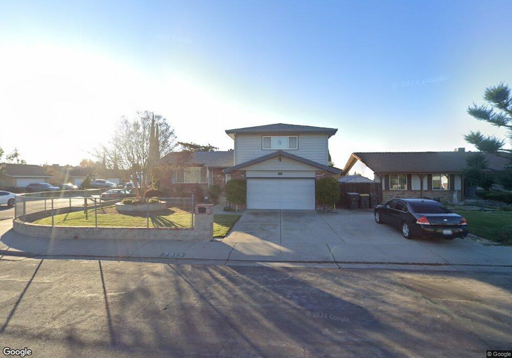
7913 Richland Way Stockton, CA 95209
Colonial Heights NeighborhoodEstimated Value: $415,000 - $483,000
4
Beds
3
Baths
2,033
Sq Ft
$224/Sq Ft
Est. Value
About This Home
This home is located at 7913 Richland Way, Stockton, CA 95209 and is currently estimated at $455,951, approximately $224 per square foot. 7913 Richland Way is a home located in San Joaquin County with nearby schools including Wagner-Holt Elementary School, Delta Sierra Middle School, and Bear Creek High School.
Ownership History
Date
Name
Owned For
Owner Type
Purchase Details
Closed on
Jul 26, 2018
Sold by
Kato Melvin Y and Kato Robin M
Bought by
Kato Melvin Y and Kato Melvin Y & Robin Tru St
Current Estimated Value
Home Financials for this Owner
Home Financials are based on the most recent Mortgage that was taken out on this home.
Interest Rate
4.54%
Purchase Details
Closed on
Jan 27, 1995
Sold by
Kato Masanori
Bought by
Kato Milton and Sato Jane
Purchase Details
Closed on
Jun 14, 1994
Sold by
Lucas John L and Lucas Patricia A
Bought by
Kato Melvin Y and Kato Robin M
Home Financials for this Owner
Home Financials are based on the most recent Mortgage that was taken out on this home.
Original Mortgage
$132,000
Interest Rate
8.56%
Mortgage Type
Seller Take Back
Create a Home Valuation Report for This Property
The Home Valuation Report is an in-depth analysis detailing your home's value as well as a comparison with similar homes in the area
Home Values in the Area
Average Home Value in this Area
Purchase History
| Date | Buyer | Sale Price | Title Company |
|---|---|---|---|
| Kato Melvin Y | -- | -- | |
| Kato Milton | -- | -- | |
| Kato Melvin Y | $132,000 | -- |
Source: Public Records
Mortgage History
| Date | Status | Borrower | Loan Amount |
|---|---|---|---|
| Closed | Kato Melvin Y | -- | |
| Previous Owner | Kato Melvin Y | $132,000 |
Source: Public Records
Tax History Compared to Growth
Tax History
| Year | Tax Paid | Tax Assessment Tax Assessment Total Assessment is a certain percentage of the fair market value that is determined by local assessors to be the total taxable value of land and additions on the property. | Land | Improvement |
|---|---|---|---|---|
| 2025 | $2,554 | $224,301 | $50,975 | $173,326 |
| 2024 | $2,504 | $219,904 | $49,976 | $169,928 |
| 2023 | $2,473 | $215,594 | $48,997 | $166,597 |
| 2022 | $2,325 | $211,368 | $48,037 | $163,331 |
| 2021 | $2,377 | $207,225 | $47,096 | $160,129 |
| 2020 | $2,319 | $205,102 | $46,614 | $158,488 |
| 2019 | $2,264 | $201,081 | $45,700 | $155,381 |
| 2018 | $2,222 | $197,139 | $44,804 | $152,335 |
| 2017 | $2,168 | $193,275 | $43,926 | $149,349 |
| 2016 | $2,041 | $189,487 | $43,065 | $146,422 |
| 2014 | $2,014 | $182,985 | $41,588 | $141,397 |
Source: Public Records
Map
Nearby Homes
- 7626 Richland Way
- 2708 Madrone Ave
- 8116 Montgomery Ave
- 8360 Norfolk Way
- 2653 Jasmine Ave
- 8356 Yarmouth Dr
- 7303 Southfield Way
- 3014 Monticello Dr
- 7724 Peppertree Dr Unit 10
- 3025 Monticello Dr
- 2417 Segarini Way
- 2618 Buttonwillow Ave
- 8463 Yarmouth Dr
- 2640 Javete Way
- 8501 Yarmouth Dr
- 8525 Mason Dr
- 7011 Shoreham Place
- 3256 Lakeshore Ct
- 7523 Oakcreek Dr
- 3265 Shoreline Ct
- 7925 Richland Way
- 2907 Amherst Dr
- 7912 Richland Way
- 2904 Amherst Dr
- 7937 Richland Way
- 2910 Winston Dr
- 2902 Amherst Dr
- 2917 Amherst Dr
- 2871 Amherst Dr
- 2906 Amherst Dr Unit 2
- 2906 Amherst Dr
- 2914 Amherst Dr
- 7926 Richland Way
- 2918 Winston Dr
- 2868 Amherst Dr
- 2925 Amherst Dr
- 2859 Amherst Dr
- 2922 Amherst Dr
- 7938 Richland Way
- 2926 Winston Dr