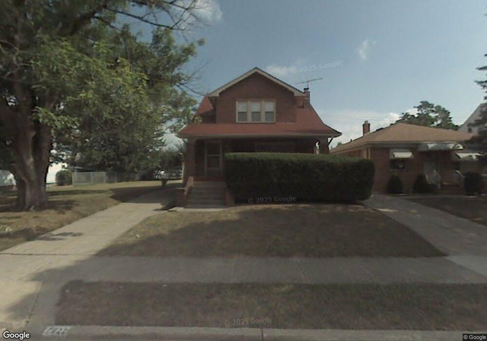
7922 Lanyard Dr Cleveland, OH 44129
Estimated Value: $204,716 - $226,000
2
Beds
2
Baths
1,307
Sq Ft
$166/Sq Ft
Est. Value
About This Home
This home is located at 7922 Lanyard Dr, Cleveland, OH 44129 and is currently estimated at $217,429, approximately $166 per square foot. 7922 Lanyard Dr is a home located in Cuyahoga County with nearby schools including Renwood Elementary School, Thoreau Park Elementary School, and Greenbriar Middle School.
Ownership History
Date
Name
Owned For
Owner Type
Purchase Details
Closed on
Aug 15, 2011
Sold by
Biley Richard J
Bought by
Biley Richard J
Current Estimated Value
Purchase Details
Closed on
Oct 3, 2003
Sold by
Biley Richard J and Biley Therese M
Bought by
Biley Richard J and Biley Therese M
Purchase Details
Closed on
Apr 3, 1985
Sold by
Biley Therese M
Bought by
Biley Richard J and Biley Therese M
Purchase Details
Closed on
Jan 1, 1975
Bought by
Biley Therese M
Create a Home Valuation Report for This Property
The Home Valuation Report is an in-depth analysis detailing your home's value as well as a comparison with similar homes in the area
Home Values in the Area
Average Home Value in this Area
Purchase History
| Date | Buyer | Sale Price | Title Company |
|---|---|---|---|
| Biley Richard J | -- | Attorney | |
| Biley Richard J | -- | -- | |
| Biley Richard J | -- | -- | |
| Biley Therese M | -- | -- |
Source: Public Records
Tax History Compared to Growth
Tax History
| Year | Tax Paid | Tax Assessment Tax Assessment Total Assessment is a certain percentage of the fair market value that is determined by local assessors to be the total taxable value of land and additions on the property. | Land | Improvement |
|---|---|---|---|---|
| 2024 | $3,632 | $56,350 | $15,750 | $40,600 |
| 2023 | $3,329 | $44,840 | $13,930 | $30,910 |
| 2022 | $3,298 | $44,840 | $13,930 | $30,910 |
| 2021 | $3,394 | $44,840 | $13,930 | $30,910 |
| 2020 | $2,979 | $34,480 | $10,710 | $23,770 |
| 2019 | $2,859 | $98,500 | $30,600 | $67,900 |
| 2018 | $2,641 | $34,480 | $10,710 | $23,770 |
| 2017 | $2,568 | $28,390 | $9,100 | $19,290 |
| 2016 | $2,553 | $28,390 | $9,100 | $19,290 |
| 2015 | $2,445 | $28,390 | $9,100 | $19,290 |
| 2014 | $2,445 | $28,990 | $9,280 | $19,710 |
Source: Public Records
Map
Nearby Homes
- 8514 Deerfield Dr
- 7503 Whittington Dr
- 8017 Wainstead Dr
- 6136 Ridge Rd
- 8017 Ackley Rd
- 6168 Manchester Rd
- 6227 Ridge Rd
- 6234 N Canterbury Rd
- 6111 Manchester Rd
- 5972 Westminster Dr
- 7514 Spring Garden Rd
- 6096 Wareham Dr
- 6298 Chestnut Hills Dr
- 7014 Thornton Dr
- 5926 Deering Ave
- 5906 Twin Lakes Dr
- 7115 Hampstead Ave
- 7615 Bertha Ave
- 6610 Renwood Dr
- 6708 Thornton Dr
- 8006 Lanyard Dr
- 7918 Lanyard Dr
- 8010 Lanyard Dr
- 7914 Lanyard Dr
- 8007 Deerfield Dr
- 8014 Lanyard Dr
- 8003 Deerfield Dr
- 8011 Deerfield Dr
- 7919 Deerfield Dr
- 8015 Deerfield Dr
- 7910 Lanyard Dr
- 7915 Deerfield Dr
- 8018 Lanyard Dr
- 7923 Lanyard Dr
- 7919 Lanyard Dr
- 8007 Lanyard Dr
- 8019 Deerfield Dr
- 7915 Lanyard Dr
- 7911 Deerfield Dr
- 8011 Lanyard Dr