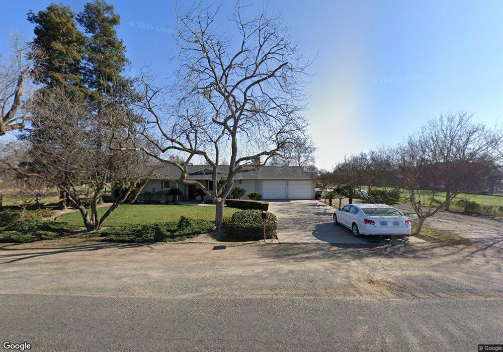
7929 13th Ave Hanford, CA 93230
Estimated Value: $396,000 - $557,000
3
Beds
2
Baths
1,404
Sq Ft
$331/Sq Ft
Est. Value
About This Home
This home is located at 7929 13th Ave, Hanford, CA 93230 and is currently estimated at $464,337, approximately $330 per square foot. 7929 13th Ave is a home located in Kings County with nearby schools including Sierra Pacific High School, Frontier Elementary School, and Pioneer Elementary School.
Ownership History
Date
Name
Owned For
Owner Type
Purchase Details
Closed on
Sep 17, 1997
Sold by
Koelewyn Thomas D and Koelewyn Sharon J
Bought by
Koelewyn Kevin T and Koelewyn Catherine R
Current Estimated Value
Home Financials for this Owner
Home Financials are based on the most recent Mortgage that was taken out on this home.
Original Mortgage
$100,000
Interest Rate
7.13%
Mortgage Type
Seller Take Back
Purchase Details
Closed on
Jun 10, 1997
Sold by
Koelewyn Pete Revocable Trust The
Bought by
Koelewyn Thomas D
Create a Home Valuation Report for This Property
The Home Valuation Report is an in-depth analysis detailing your home's value as well as a comparison with similar homes in the area
Home Values in the Area
Average Home Value in this Area
Purchase History
| Date | Buyer | Sale Price | Title Company |
|---|---|---|---|
| Koelewyn Kevin T | $125,000 | Chicago Title Co | |
| Koelewyn Thomas D | -- | -- |
Source: Public Records
Mortgage History
| Date | Status | Borrower | Loan Amount |
|---|---|---|---|
| Closed | Koelewyn Kevin T | $100,000 |
Source: Public Records
Tax History Compared to Growth
Tax History
| Year | Tax Paid | Tax Assessment Tax Assessment Total Assessment is a certain percentage of the fair market value that is determined by local assessors to be the total taxable value of land and additions on the property. | Land | Improvement |
|---|---|---|---|---|
| 2025 | $1,451 | $134,917 | $23,560 | $111,357 |
| 2023 | $1,451 | $129,681 | $22,647 | $107,034 |
| 2022 | $1,406 | $127,139 | $22,203 | $104,936 |
| 2021 | $1,381 | $124,647 | $21,768 | $102,879 |
| 2020 | $1,385 | $123,369 | $21,545 | $101,824 |
| 2019 | $1,363 | $120,950 | $21,123 | $99,827 |
| 2018 | $1,355 | $118,579 | $20,709 | $97,870 |
| 2017 | $1,331 | $116,254 | $20,303 | $95,951 |
| 2016 | $1,260 | $113,975 | $19,905 | $94,070 |
| 2015 | $1,221 | $112,263 | $19,606 | $92,657 |
| 2014 | $1,230 | $110,064 | $19,222 | $90,842 |
Source: Public Records
Map
Nearby Homes
- 2341 W Ambassador Way
- 2516 Cortner St
- 2198 N Mitchell St
- 2190 N Mitchell St
- 2463 Madeline Dr
- 2439 Madeline Dr
- 2328 Madeline Dr
- 2476 W Bristol Ln
- 1938 W Van Gogh St
- 2435 Vintage Place
- 2283 W Andrew Ln
- 2390 Chardonnay Place
- 1795 W Van Gogh
- 2255 W Queens Way
- 1995 W Tudor Ln
- 1744 Dali Way
- 8896 13th Ave
- 2429 W Hampton Dr
- 2459 W Hampton Dr
- 12958 Fargo Ave
- 12898 Fargo Ave
- 7813 13th Ave
- 13067 Fargo Ave
- 12844 Fargo Ave
- 12870 Fargo Ave
- 12792 Fargo Ave
- 7685 13th Ave
- 8104 13th Ave
- 2476 Jules St
- 8178 13th Ave
- 2464 Jules St
- 12722 Fargo Ave
- 2452 Jules St
- 2380 W Ambassador Way
- 2440 Jules St
- 2428 Jules St
- 2368 W Ambassador Way
- 8206 13th Ave
- 2416 Jules St