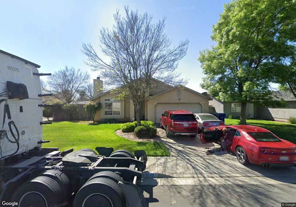
793 Isaac Newton Dr Hanford, CA 93230
Estimated Value: $345,000 - $373,000
4
Beds
2
Baths
1,806
Sq Ft
$199/Sq Ft
Est. Value
About This Home
This home is located at 793 Isaac Newton Dr, Hanford, CA 93230 and is currently estimated at $359,827, approximately $199 per square foot. 793 Isaac Newton Dr is a home located in Kings County with nearby schools including Martin Luther King Jr. Elementary School, Woodrow Wilson Junior High School, and Hanford West High School.
Ownership History
Date
Name
Owned For
Owner Type
Purchase Details
Closed on
May 4, 1998
Sold by
Ennis Development Corp
Bought by
Sims Joseph and Sims Maxine
Current Estimated Value
Home Financials for this Owner
Home Financials are based on the most recent Mortgage that was taken out on this home.
Original Mortgage
$94,000
Interest Rate
9.5%
Create a Home Valuation Report for This Property
The Home Valuation Report is an in-depth analysis detailing your home's value as well as a comparison with similar homes in the area
Home Values in the Area
Average Home Value in this Area
Purchase History
| Date | Buyer | Sale Price | Title Company |
|---|---|---|---|
| Sims Joseph | $117,500 | First American Title Co |
Source: Public Records
Mortgage History
| Date | Status | Borrower | Loan Amount |
|---|---|---|---|
| Previous Owner | Sims Joseph | $94,000 | |
| Closed | Sims Joseph | $23,500 |
Source: Public Records
Tax History Compared to Growth
Tax History
| Year | Tax Paid | Tax Assessment Tax Assessment Total Assessment is a certain percentage of the fair market value that is determined by local assessors to be the total taxable value of land and additions on the property. | Land | Improvement |
|---|---|---|---|---|
| 2025 | $3,969 | $184,207 | $36,840 | $147,367 |
| 2023 | $3,969 | $177,056 | $35,410 | $141,646 |
| 2022 | $3,927 | $173,585 | $34,716 | $138,869 |
| 2021 | $3,885 | $170,183 | $34,036 | $136,147 |
| 2020 | $3,904 | $168,438 | $33,687 | $134,751 |
| 2019 | $3,860 | $165,135 | $33,026 | $132,109 |
| 2018 | $3,807 | $161,897 | $32,378 | $129,519 |
| 2017 | $3,779 | $158,722 | $31,743 | $126,979 |
| 2016 | $1,696 | $155,610 | $31,121 | $124,489 |
| 2015 | $1,685 | $153,273 | $30,654 | $122,619 |
| 2014 | $1,651 | $150,271 | $30,054 | $120,217 |
Source: Public Records
Map
Nearby Homes
- 11431 11th Ave
- 3 Jones St
- 2 Jones St
- 1 Jones St
- 11071 Hume Ave
- 10949 Hume Ave
- 10876 Abby Ln
- 1823 W Sunset Ln
- 1577 S Barberry Place
- 1577 S Barberry Place Unit Ho53
- 1589 S Barberry Place Unit Ho54
- 670 Grant St
- 650 S 11th Ave
- 1240 Washington St
- 1426 W Sidonia St
- 1292 Monterey Ave
- 1292 S Monterey Ave
- 1936 S Red Rock Dr
- 626 Kimball Ln
- 400 Scott St
- 803 Isaac Newton Dr
- 817 Isaac Newton Dr
- 802 Marconi Dr
- 792 Marconi Dr
- 1361 Nicole Ave
- 1349 Nicole Ave
- 1337 Nicole Ave
- 1373 Nicole Ave
- 825 Isaac Newton Dr
- 816 Marconi Dr
- 804 Isaac Newton Dr Unit 5
- 794 Isaac Newton Dr
- 1387 Nicole Ave
- 818 Isaac Newton Dr
- 1323 Nicole Ave
- 824 Marconi Dr
- 837 Isaac Newton Dr
- 826 Isaac Newton Dr
- 795 Marconi Dr
- 1317 Nicole Ave